In 10 days everything changed: 12 photos of how winter came to Lapland
I live over 150 km above the Arctic Circle. Here it’s quite common to have snow on the ground in October, but this year the start of the winter was unusually sudden. Here are 12 photos that I have taken during the last ten days – see for yourself how winter arrived!
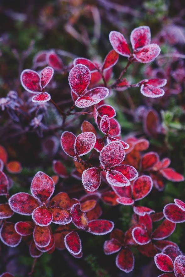
Above: Frosty morning in a swamp in Kittilä (October 11th). Bog bilberry is one of the last plants to have some beautiful autumn colors. Most plants have dropped their leaves by now.
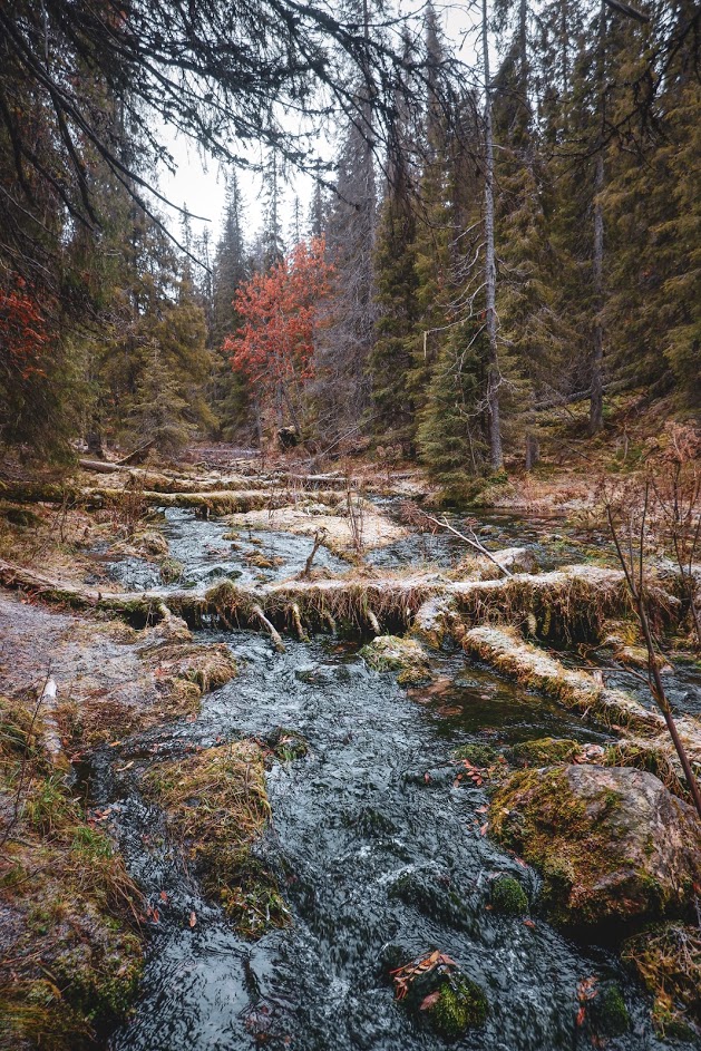
Above: Nature getting ready for winter in Varkaankuru, Kolari (October 13th).
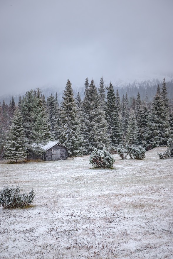
Above: First snow near Pallastunturi, Muonio (October 14th).
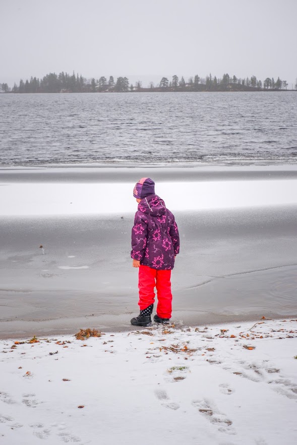
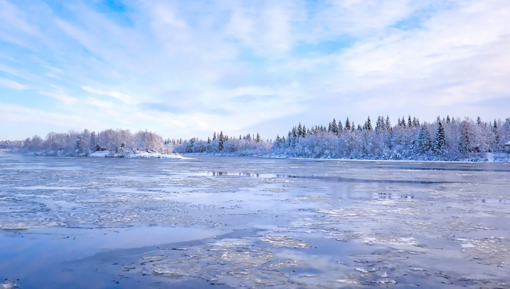
Above: Lake Pallasjärvi is starting to freeze (October 14th).
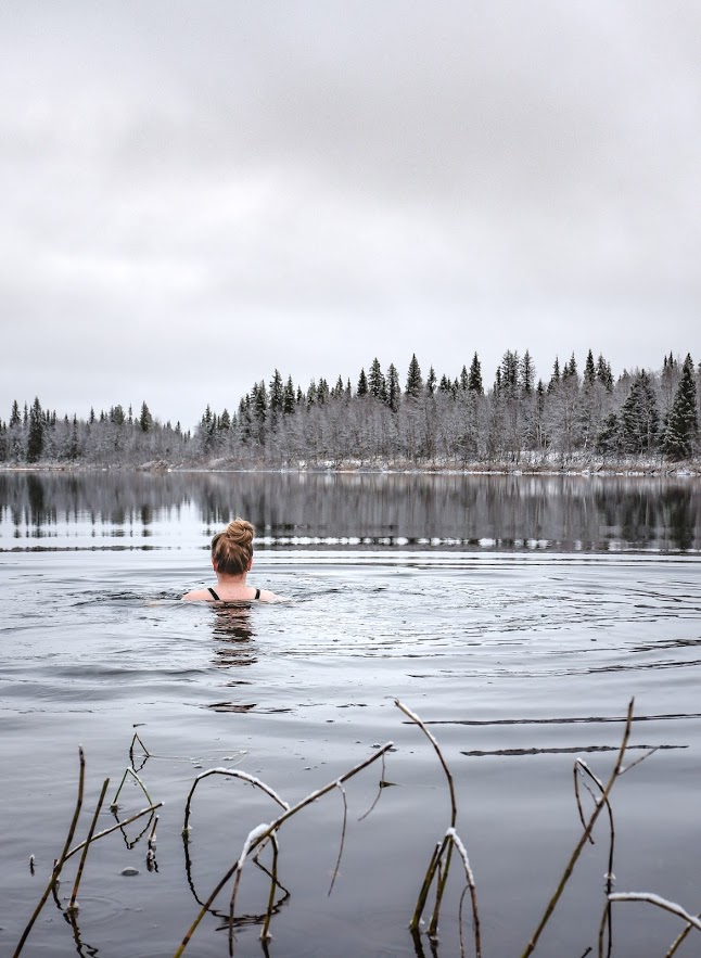
Above: Swimming in Ounasjoki river (October 16th) only 24 hrs before ice started to appear.
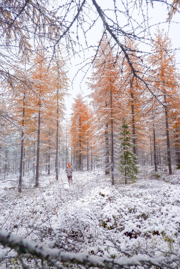
Above: Snowy larch forest in Kittilä (October 18th).
Above: Winter is officially here! About 10 centimeters of snow in Kittilä (October 19th).
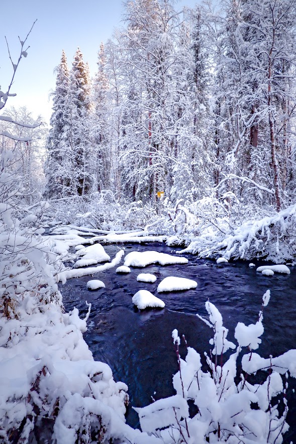
Above: Forest river is not ready to freeze just yet (Kittilä, October 19th).
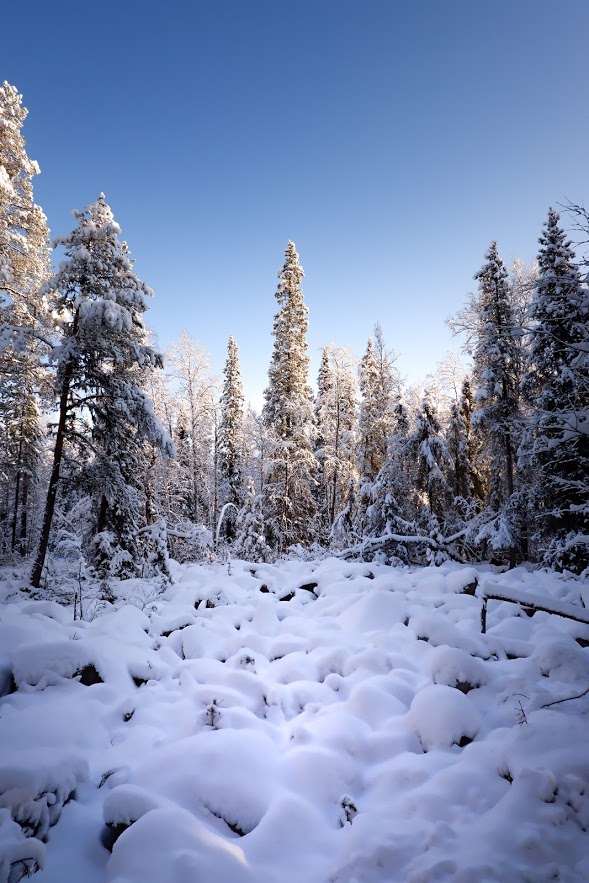
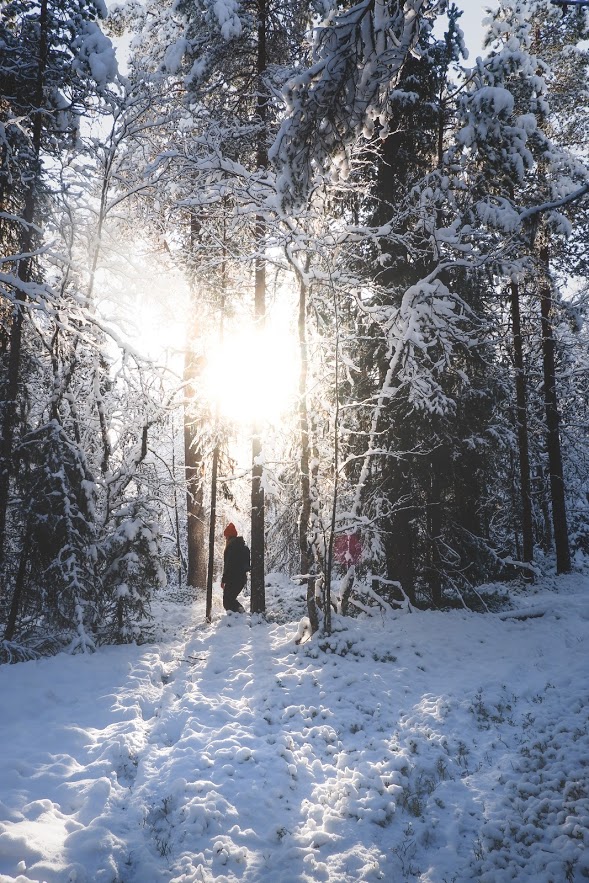
Above: First sunny winter day 2019 in Kittilä. Forest and rocks are covered in snow (October 19th).
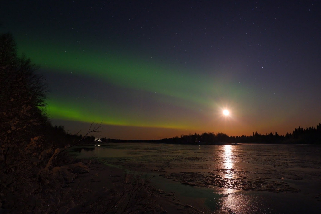
Above: Northern lights and the Moon above the frozen Ounasjoki river (October 19th).
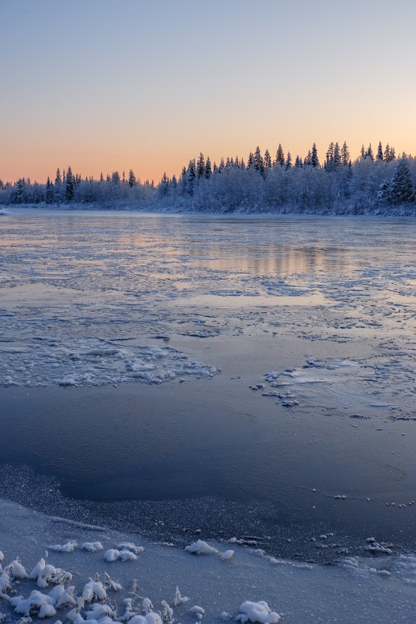
Above: There’s still time before the polar night begins, but its colors can already be seen. This photo was taken early in the morning, but in mid winter this is what noon would look like. (October 20th).
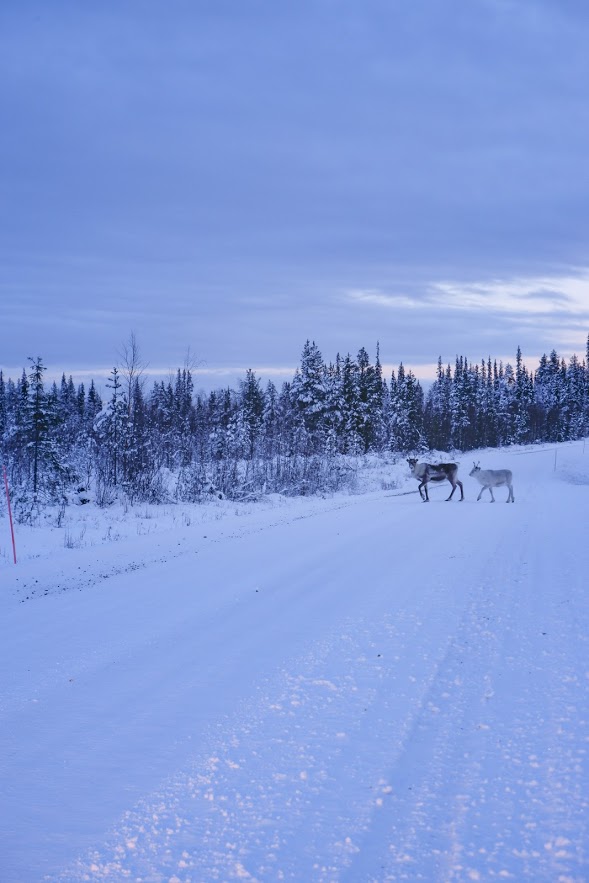
Above: Reindeer on a road in Raattama (October 21st).


Leave a Reply
Want to join the discussion?Feel free to contribute!