Surprise Above the Highway: Karnaistenkorpi Forest enchants with Its Trails and Ponds in Lohja
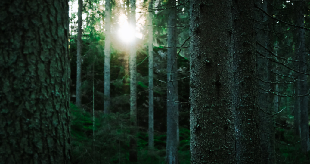
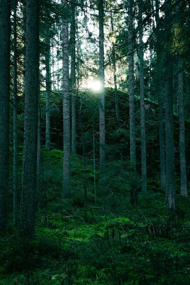
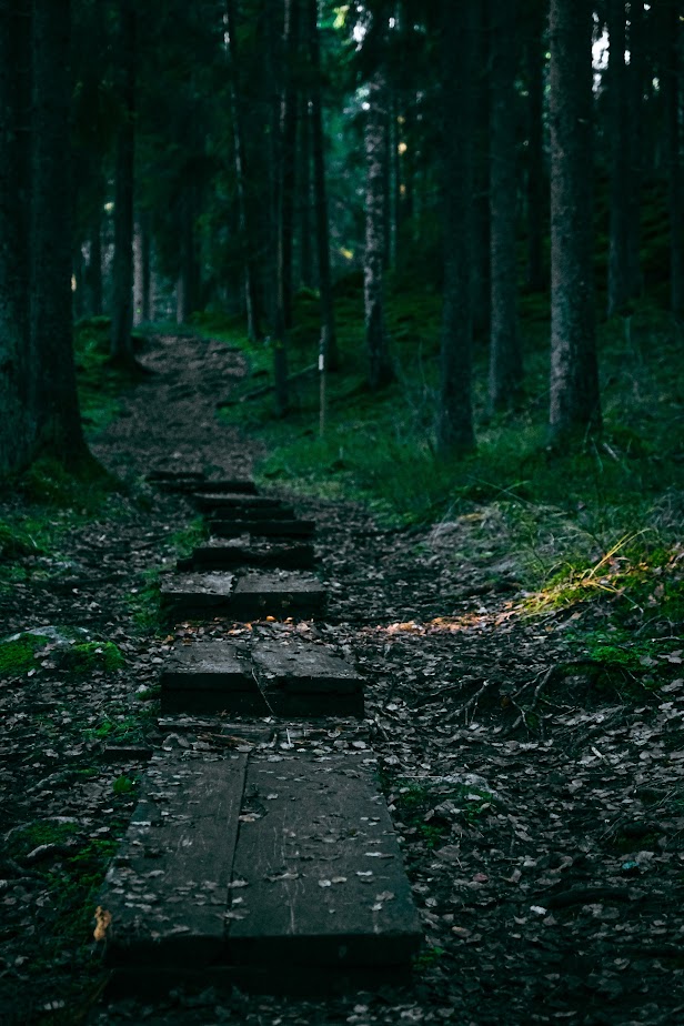
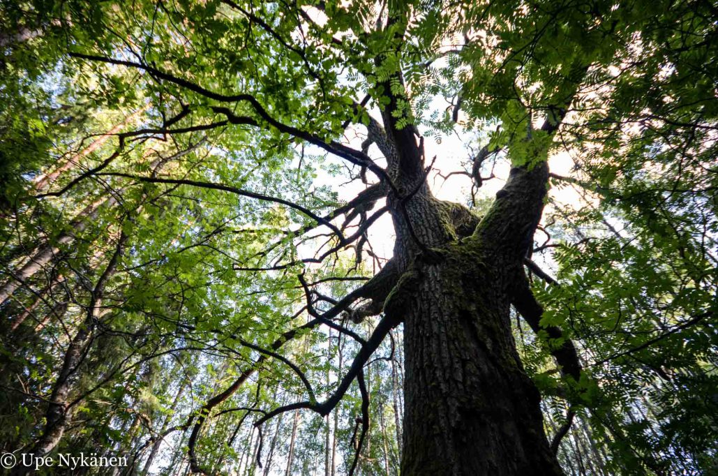
When you drive between Helsinki and Turku on the motorway, you pass through the over 2-kilometer-long Karnainen tunnel. Few would guess that above the motorway lies an entire hiking destination with ponds and lean-tos. Once you cross the small hill from the Karnaistenkorpi parking area and step into nature, you immediately find yourself in a dim, pristine forest, surprisingly wilderness-like. Here are a few photos I took on the yellow trail, which I hope will inspire others to explore this beautiful spot in the city of Lohja.
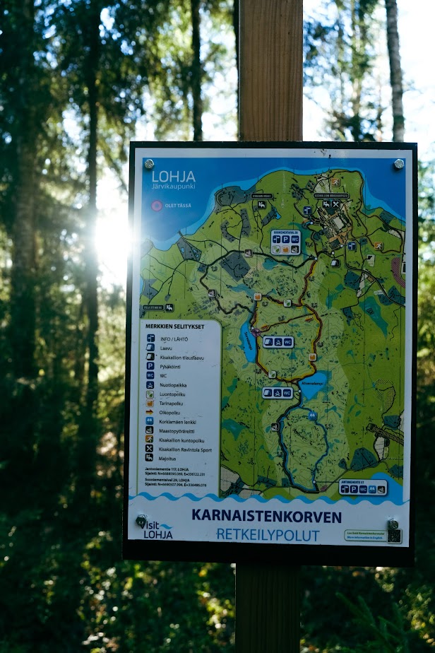
Starting point on the map (Suoniementaival 29, Lohja)
Yellow route approx. 3.5 km
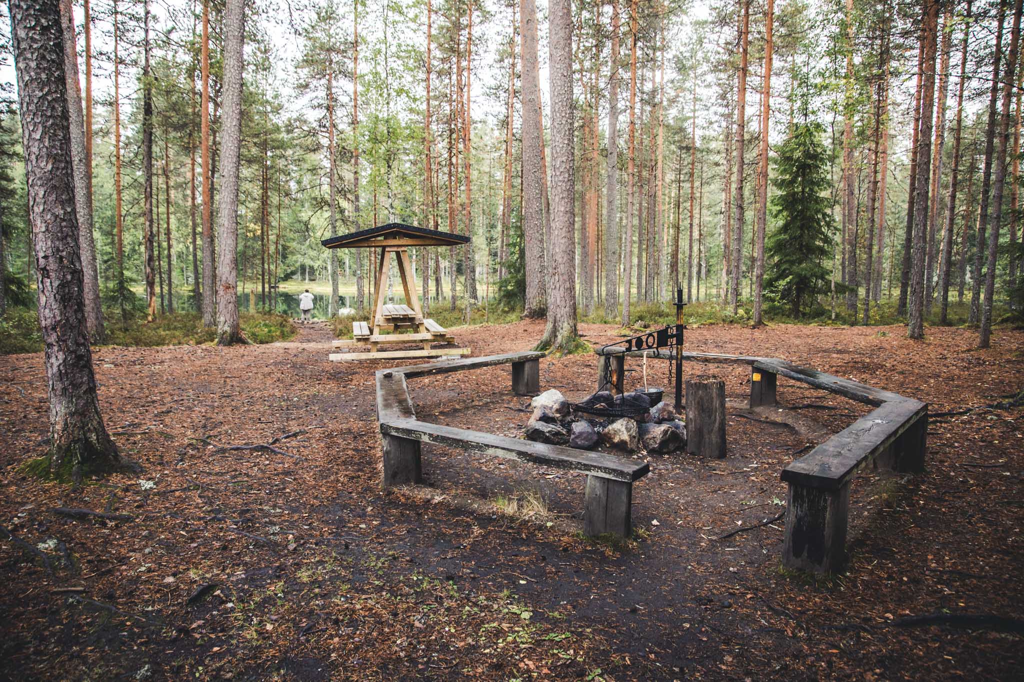
Two lean-tos with fire pits & piers
Weather-wise, it might have been the best day of November, but it was also quite cold. The sun shone from a bright, cloudless sky so intensely that it hurt my eyes. Thankfully, the forest enveloped me and cast a soft, green dimness around. There were people about, and I occasionally let faster walkers pass so I could wander at my own pace, listening to an audiobook.

I hadn’t decided in advance which trail I would take. The map at the parking area suggested that the yellow trail would be the most suitable for me at that moment. It loops around both ponds and – if I calculated the distance of the sections correctly – it would be about 3.5 kilometers (2,2 mi) long.
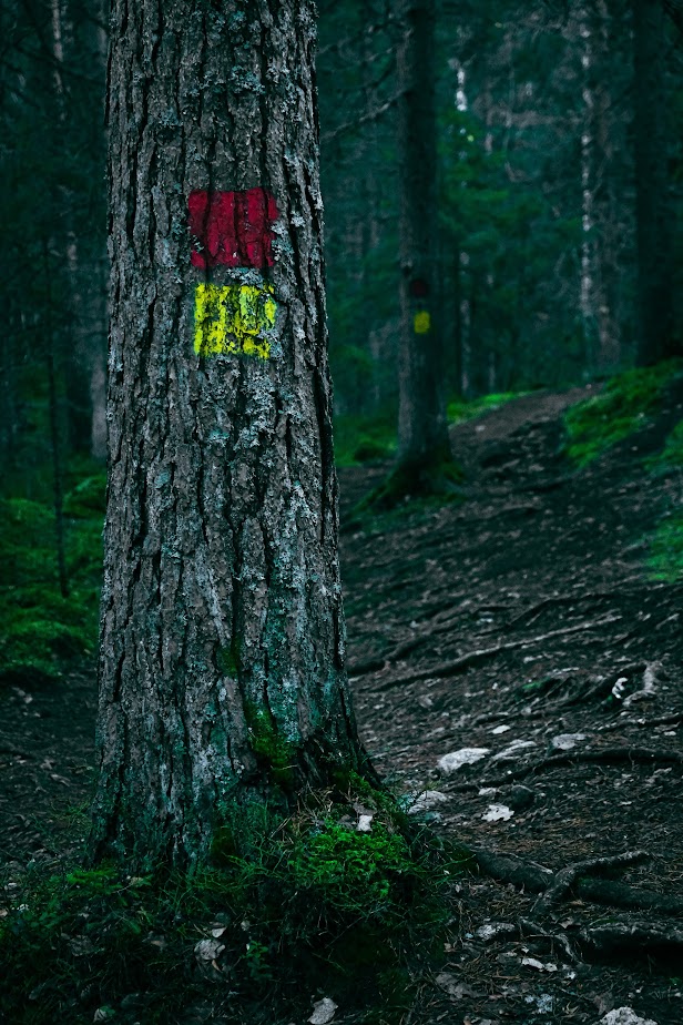
Right at the start, I noticed that the trail markings on the trees were frequent. So there was no need to worry about getting lost. The yellow trail marker was accompanied by a red marker the entire way. I couldn’t figure out what the difference between them was, even after looking at the map.
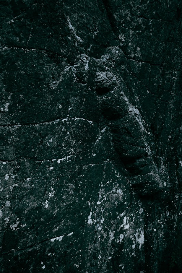
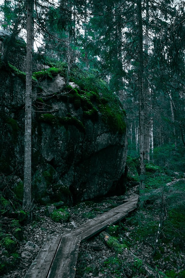
The rocks and boulders, some bare and some thickly covered in moss, painted the scenery in the shaded parts of the forest. I had to stop often to admire the rock faces, and luckily, the trail passed close to many of these rough walls. So close that the damp stone’s scent reached my nose and its coolness touched my skin.
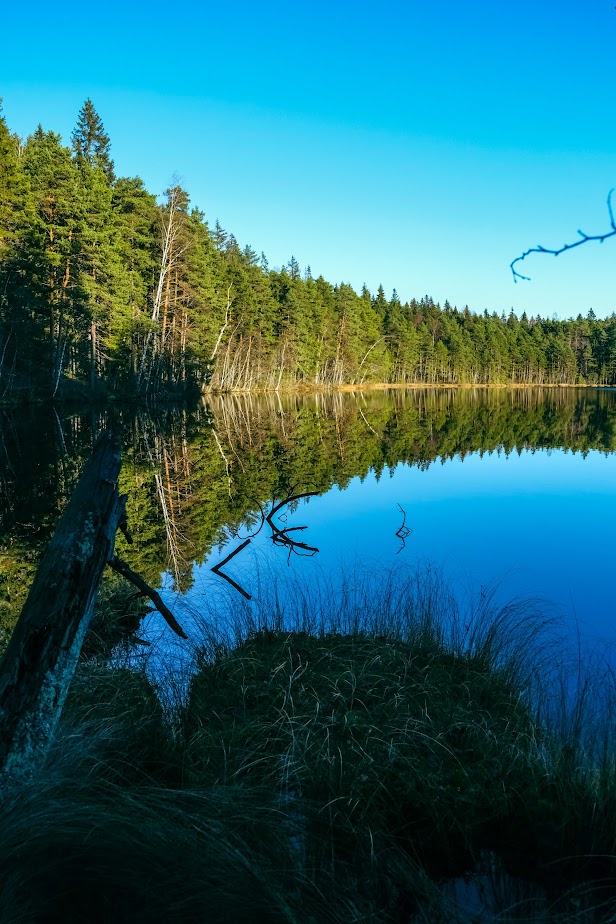
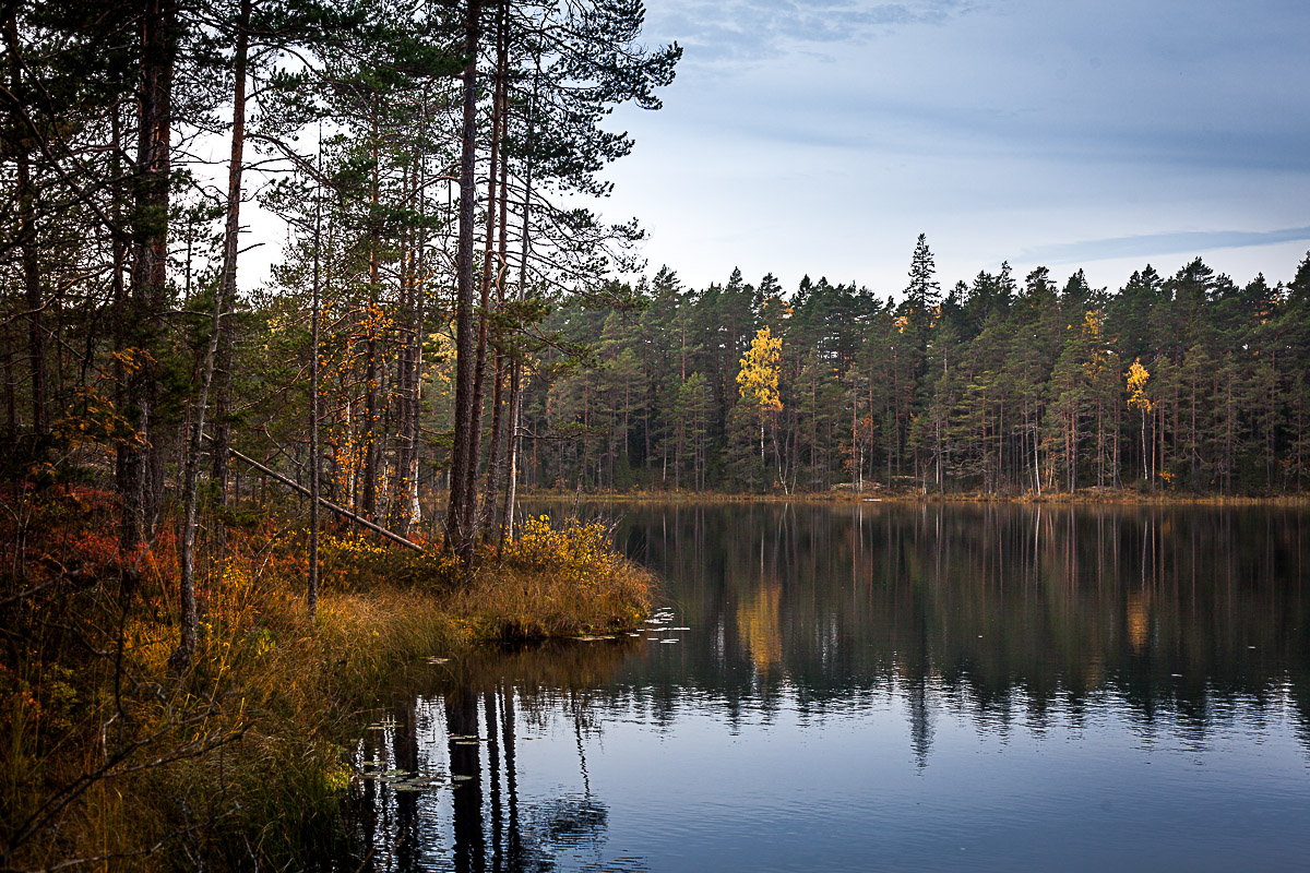
The first pond when walking the loop counterclockwise was Sorvalampi. There was a lean-to on the lakeside rock and plenty of people. At the base of the rock, a pier swayed at the water’s edge, and I stood there for a moment, taking in the view. The shore was soothing to look at.
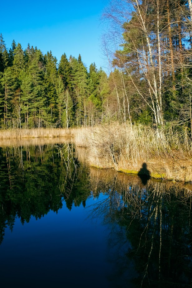
The water’s surface was like a blue mirror, and the trail continued skirting the shore for a short distance.
In addition to the beautiful landscape, the varied mosses, and the fresh November forest scents, the terrain itself guided me along. There was no shortage of wooden structures—there were plenty. You could have walked the route in ballerinas, but the boardwalks and stairs were slippery from the autumn weather, so I was glad I had shoes with better grip.
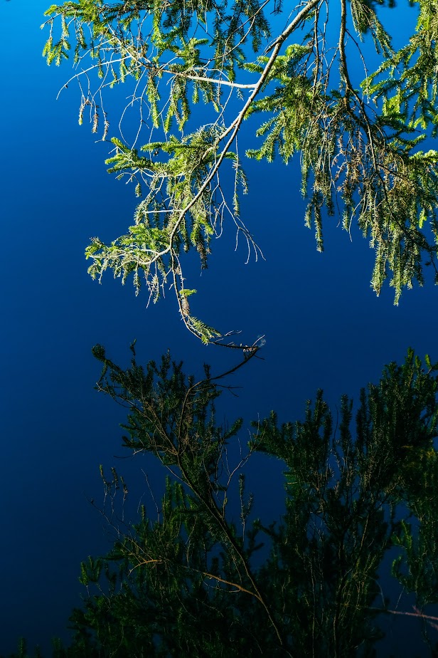
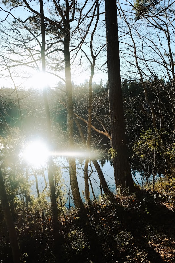
The next pond was Ahvenlampi (‘Perch Pond’). It too had a lean-to on its shore, at the southern end, just a few steps off the trail. Looking at the perfectly still and undeveloped pond, you could imagine being far away from civilization, but the most curious thing was that standing at the southern end of the pond, you’re actually standing almost directly above the motorway.
I followed the trail along the western shore of Ahvenlampi to the north. Looking at the pond’s landscape, the sun blinded me with double light reflecting off the water’s surface.
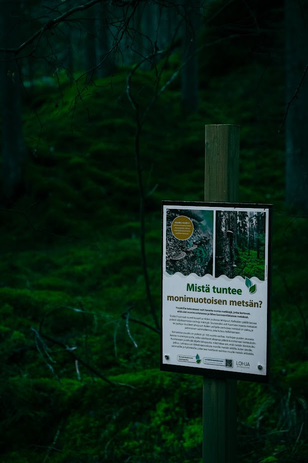
There were several of this kind of signs (only in Finnish) along the way.
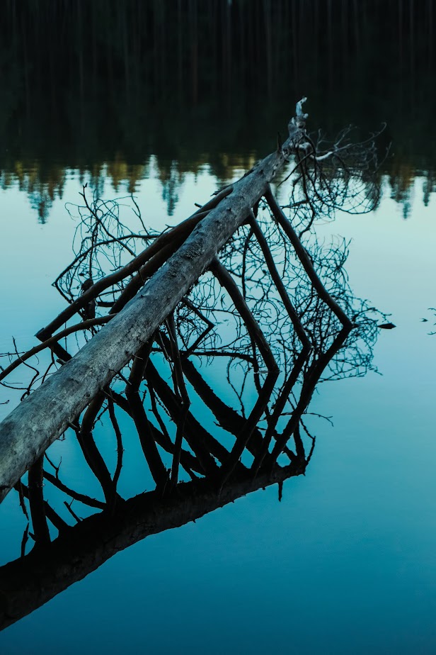
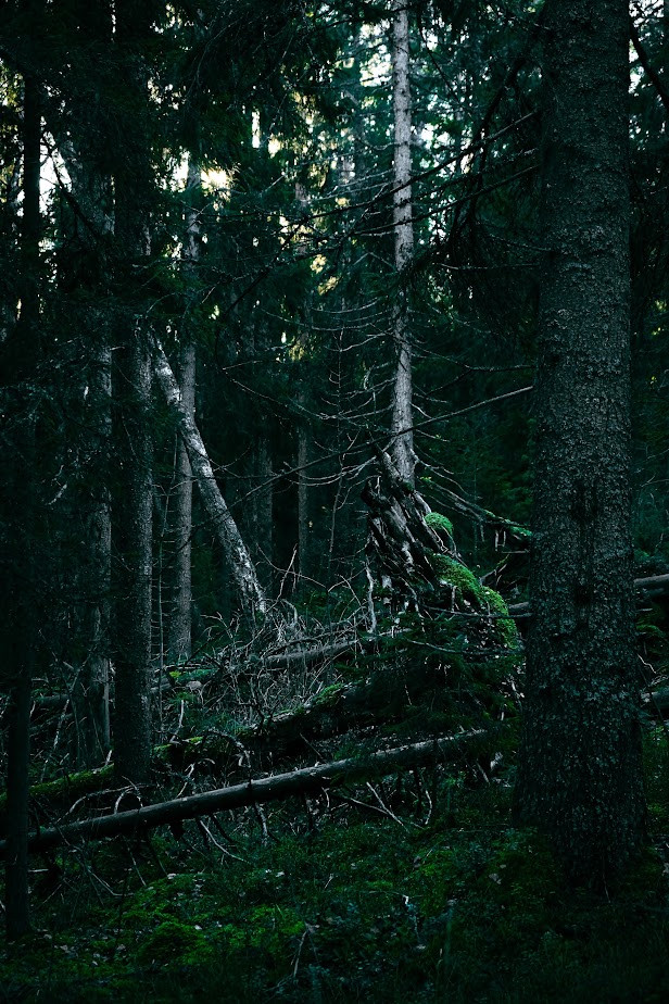
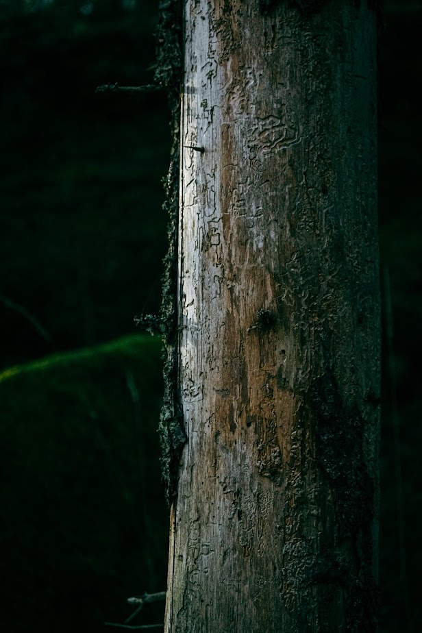
The abundance of deadwood, fungi, mosses, lichens, and other hallmarks of an old forest added to the trail’s atmosphere. I enjoyed seeing that the forest was left to its own devices here – fallen trees lay undisturbed, some still silver-barked, others already thickly coated in moss. Some trees had shed their bark, revealing their hieroglyphs beneath.
Read also
If water is your element, Lake Lohjanjärvi is the place
Korpudden is a Small-Scale Haven
Related Content


Leave a Reply
Want to join the discussion?Feel free to contribute!