Time travel to a divided Europe: The Salpa Line Bike Route introduces Finnish military history and beautiful Nordic nature
In cooperation with Cursor
Article by Mari Valtonen
The Salpa Line bike route is located in southeastern Finland, in the province of Kymenlaakso, near the Russian border and close to the Finnish section of the Europe-wide EuroVelo13 or Iron Curtain Trail. The Iron Curtain Trail (9950 km in total) introduces European history from a time when the continent was forcefully divided into east and west, and the general atmosphere was tense. In Finland, which miraculously defended against the Russia goliath while maintaining its independence, you should definitely take a small detour to experience the 72 km long Salpa Line bike route.
Distance: 72 km
Duration: 2 days
Destination on map
Difficulty: Easy route
The Salpa Line is a fortress line built in defense of Finland’s eastern border, the structures of which are still clearly visible in Finnish forests. The Salpa Line is even one of the best preserved fortress lines in the whole of Europe built during the Second World War, reaching all the way to Lapland from the southern coast of Finland, and many of the most spectacular and powerful structures are located in Kymenlaakso. The Salpa Line reaches an impressive total length of 1,200 kilometers and was built between 1940 and 1941, and 1944.
Kymenlaakso has two Salpa Line themed museums – one in Miehikkälä, and the other in Virolahti. Both are located along the EuroVelo13 and the Salpa Line bike routes. These museums shed light on the background of this impressive structure and are definitely worth a visit. EuroVelo13 travelers can easily start the Salpa Line bike route from either location.
However, the route is not only suitable for those interested in military history. You can also enjoy a lot of beautiful and extensive Finnish nature with its beautiful forests and idyllic farming landscapes. I set out to find out what the Salpa Line bike route has to offer. Join me!
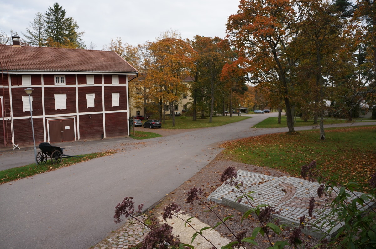
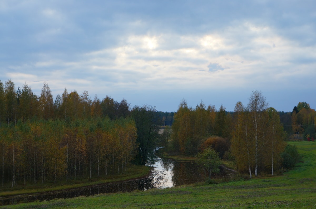
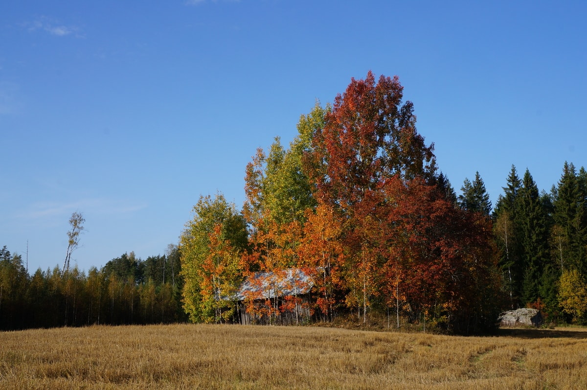
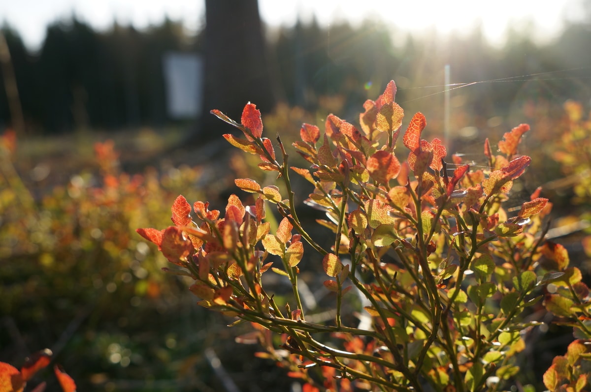
The warm fall weather and the fine fall colors ensured that the cycling season in southern Finland continued into October. The Salpa Line bike route was a great choice for enjoying the northeastern European fall weather for a couple of days’ bike ride.
You can start your trip from anywhere on the route, but you can easily park your car in the parking areas of the Miehikkälä Salpa Line Museum or the Bunker Museum in Virolahti (the distance between these sites is about 20 km). On the last day of September, I started from the Bunker Museum. The museum is only open on Fri–Sat in the fall, so I started my journey straight away since the museum was closed.
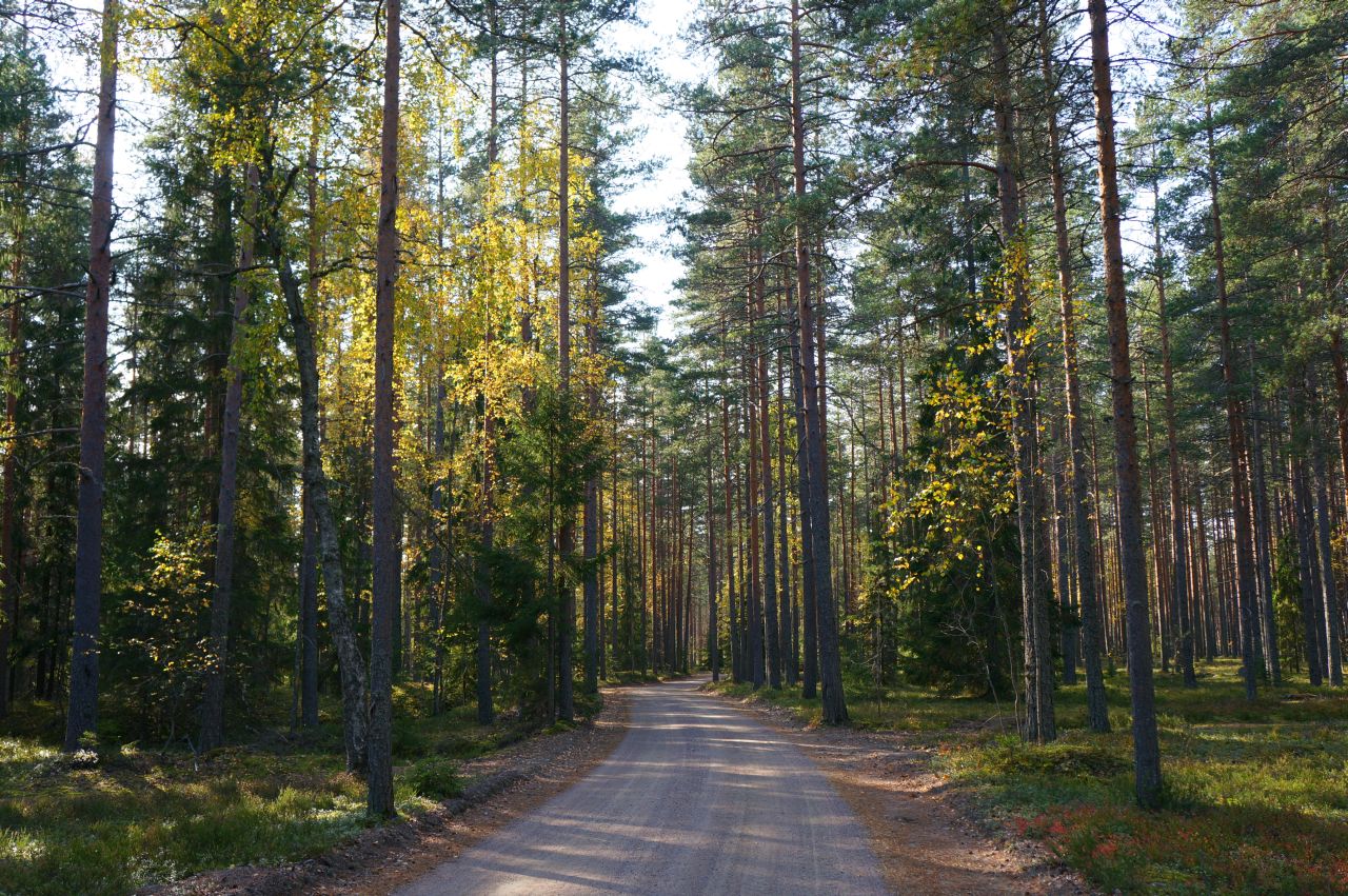
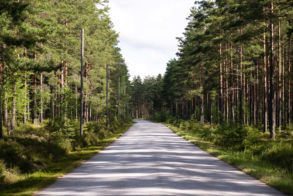
The Salpa Linja bike route is not marked on the terrain, but I had uploaded Cursor’s map to my Google Drive, where I could easily track my journey with the phone’s GPS data. The route travels partly along a hiking route called Salpa Trail, but those sections were often marked as mountain bike sections, so I most often chose the dirt road route. A third asphalt option was also indicated on some points.
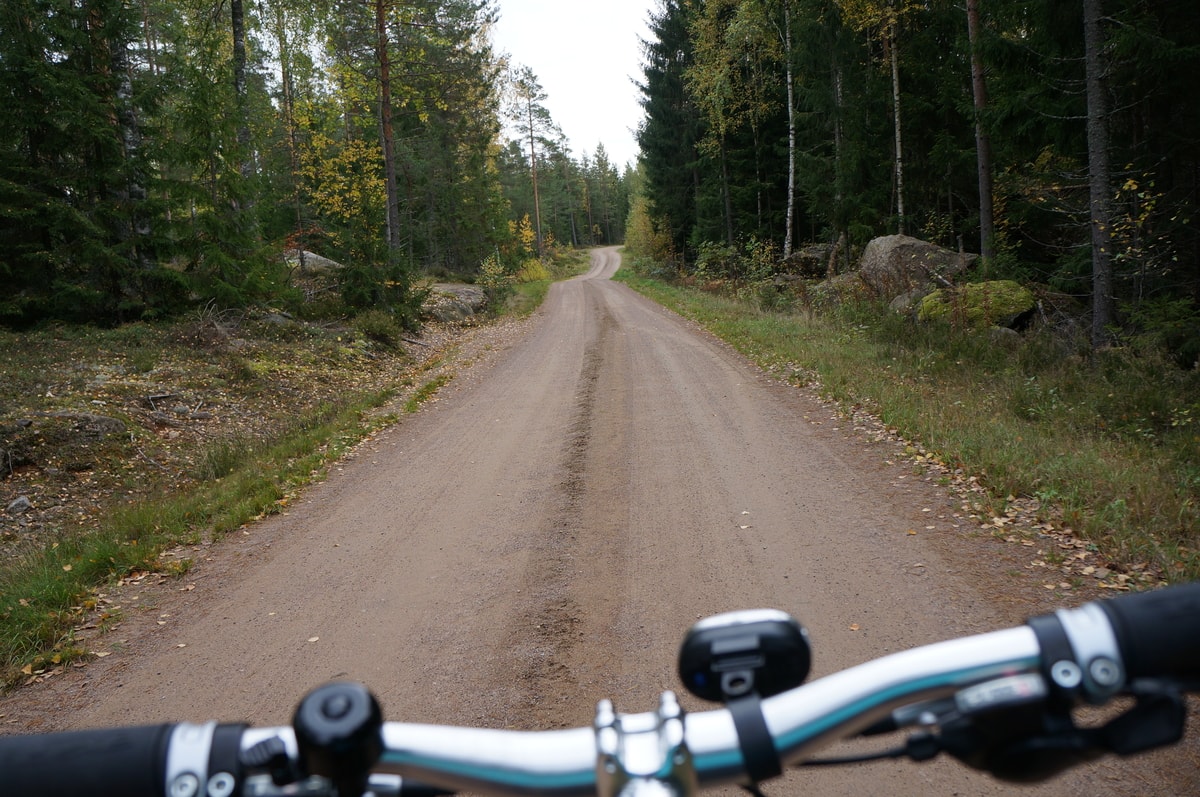
After driving west on Vaalimaantie for a while, the route turned southeast onto Vahtivuorentie. The dirt road was in good condition, although bumpy. First there were warnings about horses on the road and then about snowmobiles, but I didn’t see anyone. After some recently planted forest, the road dived into a coniferous forest. According to the map, the first dugouts – troop-protecting structures used in the war – should be located near the Vahtivuori campfire site, where I parked my bike on the side of the road and continued walking up the path.
There were insanely big blueberries everywhere! In Finland, you can pick natural berries, thanks to the so called everyman’s rights, so I tasted the northern superfood with a smile on my face. However, the berries were already quite tasteless at this time of year, so I didn’t regret leaving my bucket at home.
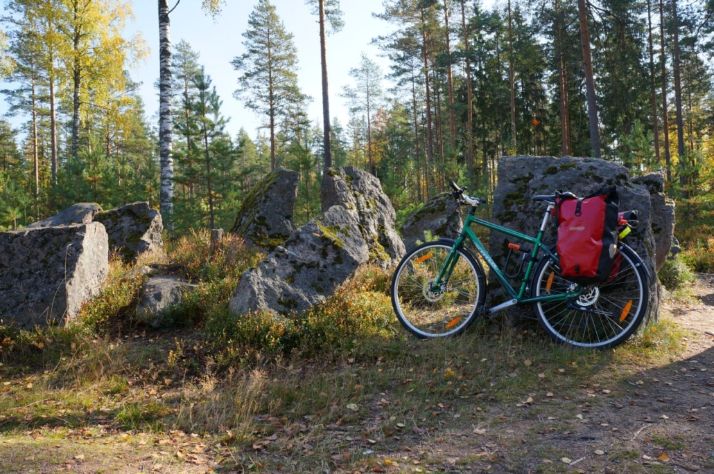
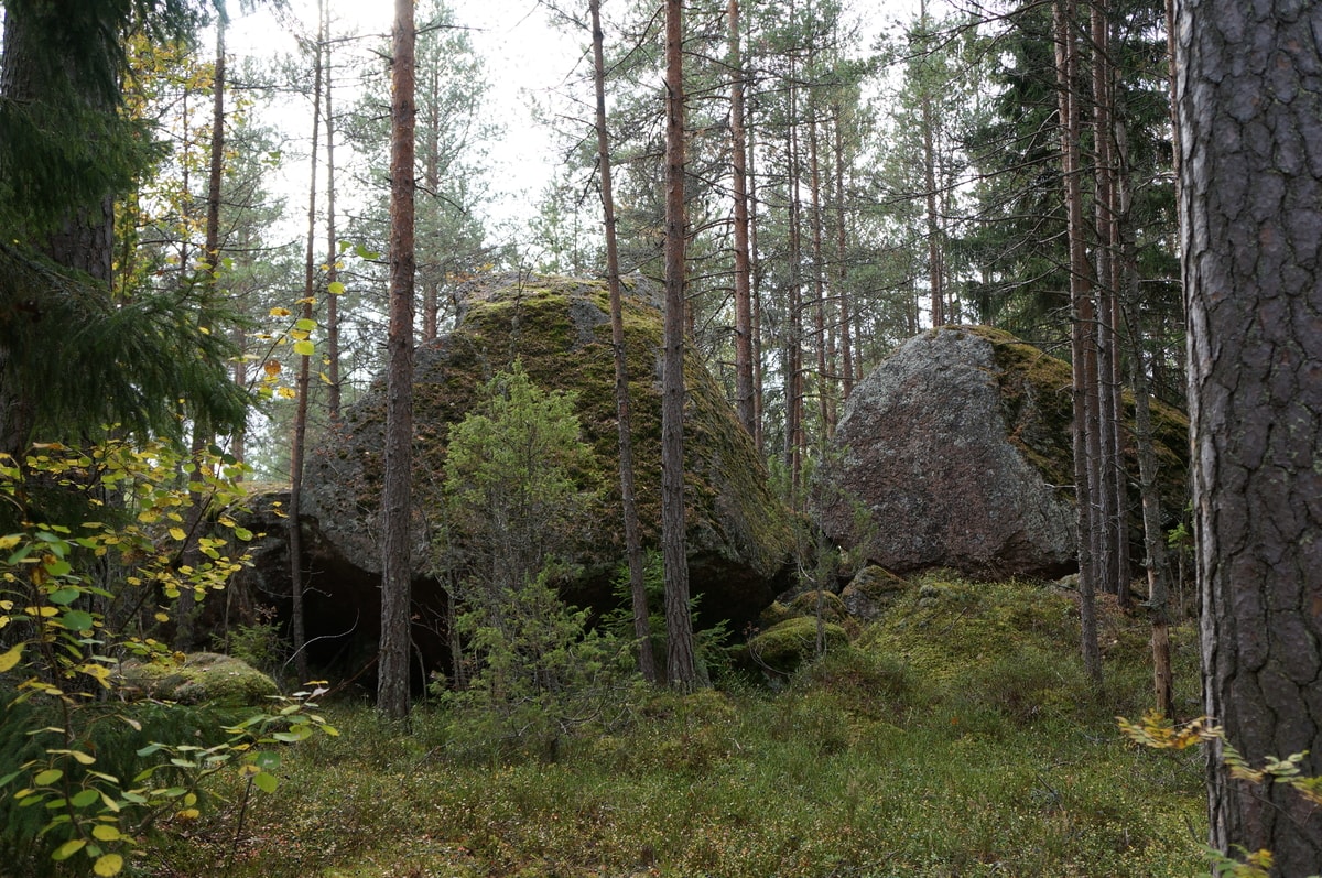
Next, my attention was drawn to some really large boulders. Could they be man-made parts of the Salpa Line, or natural obstacles, I wondered. I found the cooking shelter on top of the hill, but the trees prevented a wider view of the surrounding landscape. I decided to use my Trangia to make coffee with apple pie before I went looking for the dugouts.
Vahtivuori cooking shelter 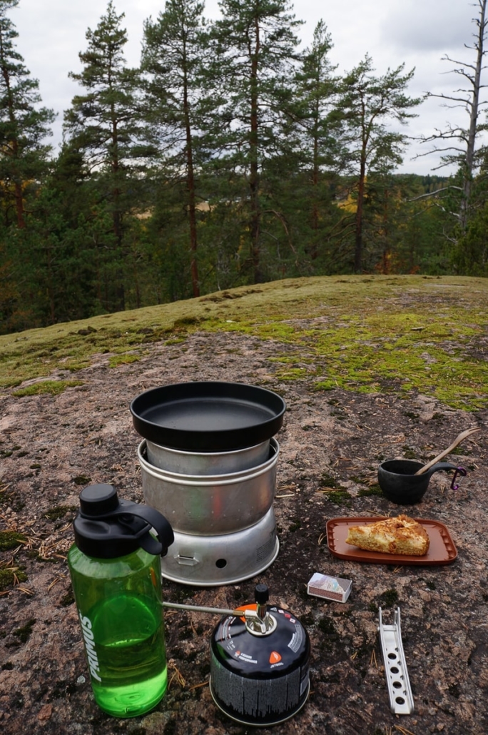
Coffee with apple pie!
After studying the map, I realized that I should have been right next to the dugouts, but I didn’t see anything. Military history isn’t exactly my area of expertise. I wonder what I was supposed to be looking for. I had read beforehand that most of the dugouts are not maintained, with potentially dangerous drops and sharp iron structures so it was a bit terrifying trying to find them alone. I’ve never been to the army, so even in that sense, I had no idea how the dugouts could’ve been built into the terrain. I understood that the map made it difficult to determine the exact location of the dugouts and probably the GPS signal on the phone displayed my location incorrectly. I was beginning to wonder whether I would find any bunkers on the whole trip.
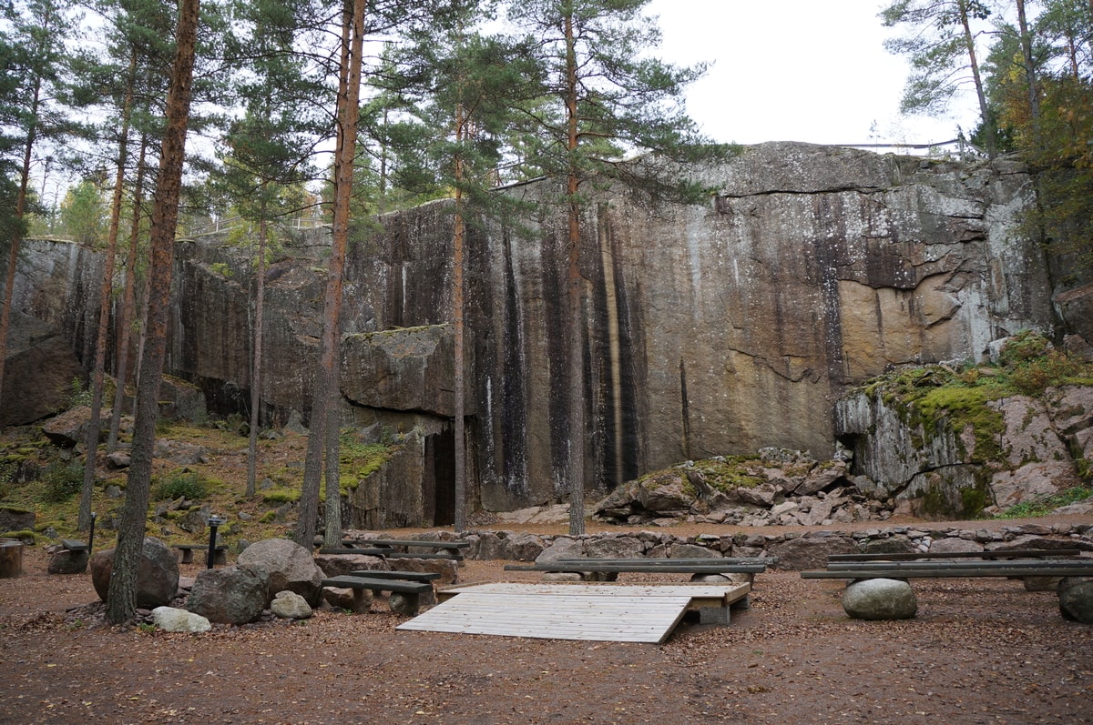
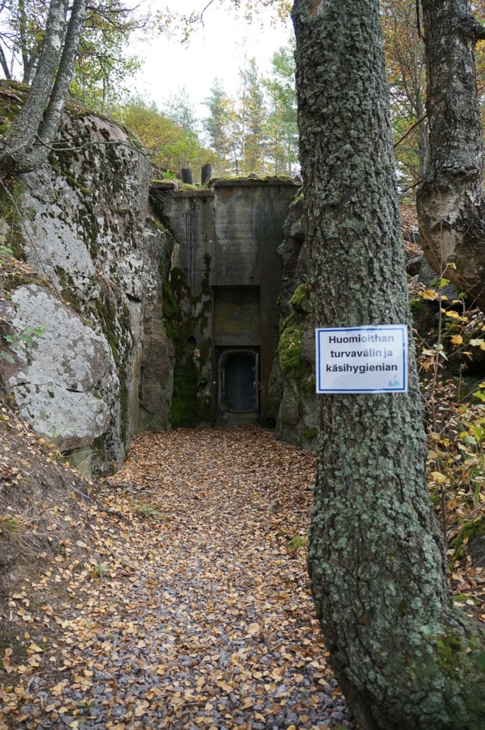
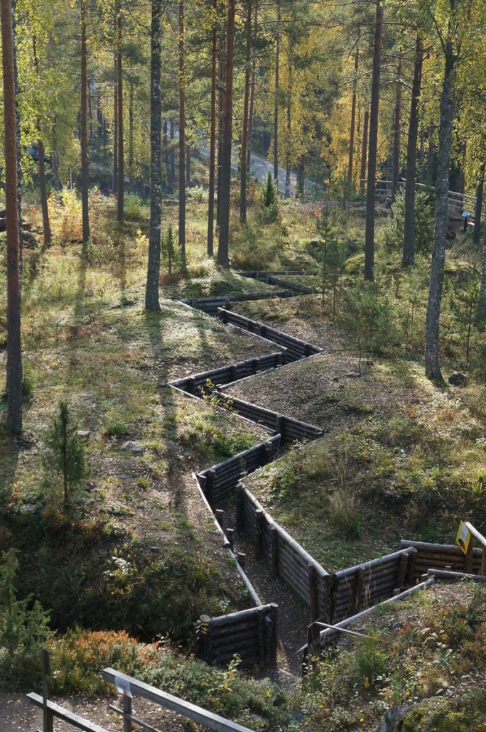
I had read that there should be a cave and a nature stage near the fire site. I went down the path and followed some signs. I noticed that there were better signs on the opposite side, and discovered the first winding trenches and the opening of the first bunker No 82. After continuing ahead, I came across another much cozier lean-to called Rinnelaavu, and found the rock cliff I was looking for, with its railings. Next to the railing there was a path down and a view opened up to the nature stage: What a great venue with stands can be found below the cliff! The barrier rocks have been mined from the cliff, and this can be seen in its the vertical shape. The place is so impressive that it would be great to watch a show there sometime!
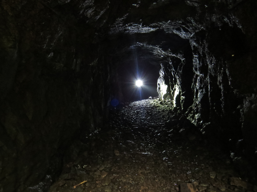
There was a concrete doorway next to the stage, and after a while, and after I got my headlamp working, I had the courage to enter through the door. Inside I discovered a large cave carved into the rock and there appeared to be a smaller room at the back. Water fell from the ceiling. The bunker seemed so strong that I dared to continue through the second door. There was an embrasure on the right side of the second door, and on the left you could see the small room that I had noticed earlier. There were no furniture. After leaving the cave, the air felt warm and I felt relieved – I made it! I realized that it takes a lot of courage to enter such structures on my own. I decided that this would be enough for now, and that the structures that I would explore next would be at the Harju Learning Center.
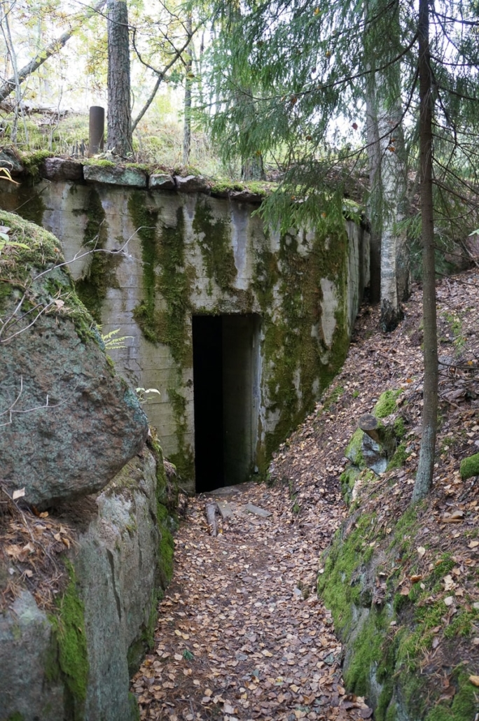
First entrance 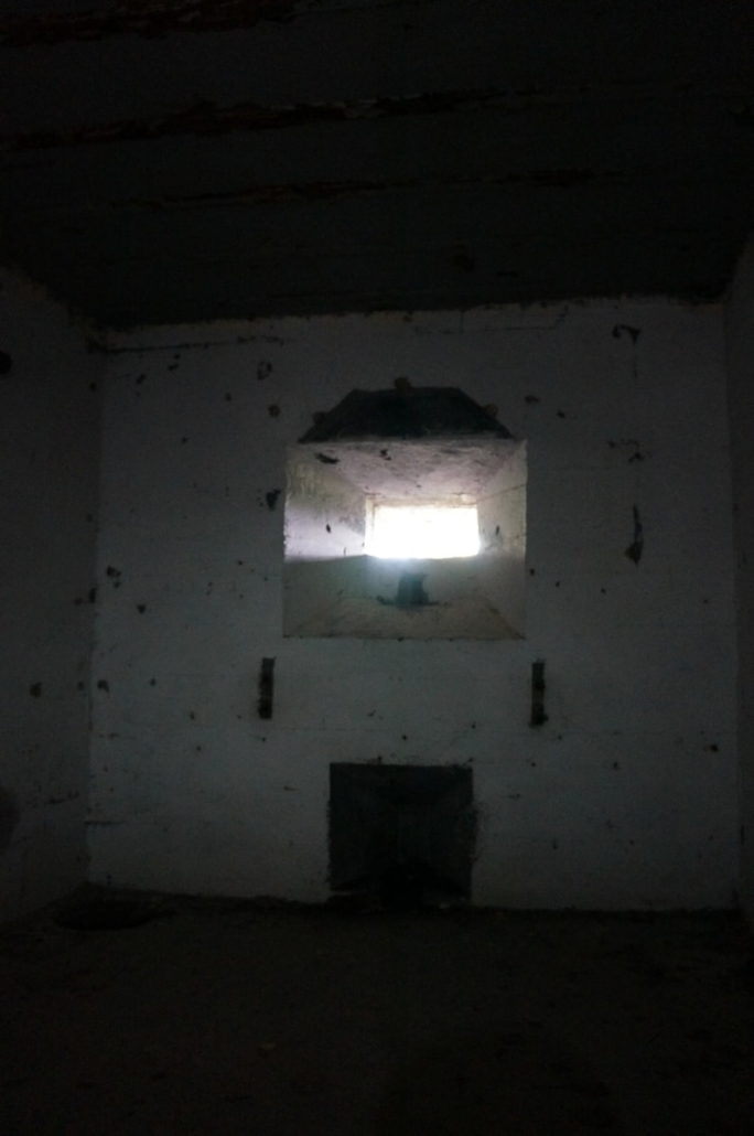
Second entrance 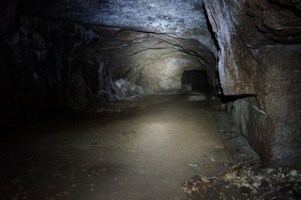
Wow, what a cave!
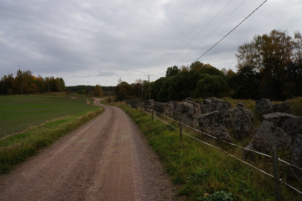
The road lead to an idyllic field opening and a row of tank barriers erected on the Ravijoki river banks. Later, the barrier line continued along my route in many places and I can only imagine how much work it has taken to build it with the tools of that time! At this point, the tank barriers were inside the pasture, and after a while a resting flock of sheep appeared.
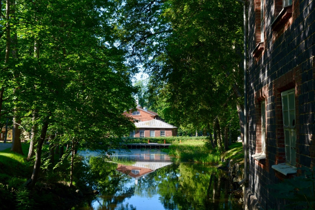
Next, I climbed to the courtyard of the Harju Learning Center, where I saw many beautiful old buildings. The students had just finished their school day. The summer café Kiessi seems to operate there but it was already unfortunately closed for the year. The Kiessi Museum was on the opposite side and the door was open. Inside I found a collection of horse-drawn vehicles and some information about the history of the Harju manor.
From the Harju courtyard, the journey continued along a birch alley until we turned left onto Museotie. A great view opened up to the Harju manor. The route continued along the side of the road and alternated between idyllic well-maintained countryside and different types of forests. Huge boulders could be seen here and there. Grasshoppers were still chirping along the road, and there were still flowers such as bluebells, tansies, thistles and sow thistles. Summer was in the air!
The old kilometer markers guided me towards Virojoki, where I had planned to have a little lunch break.
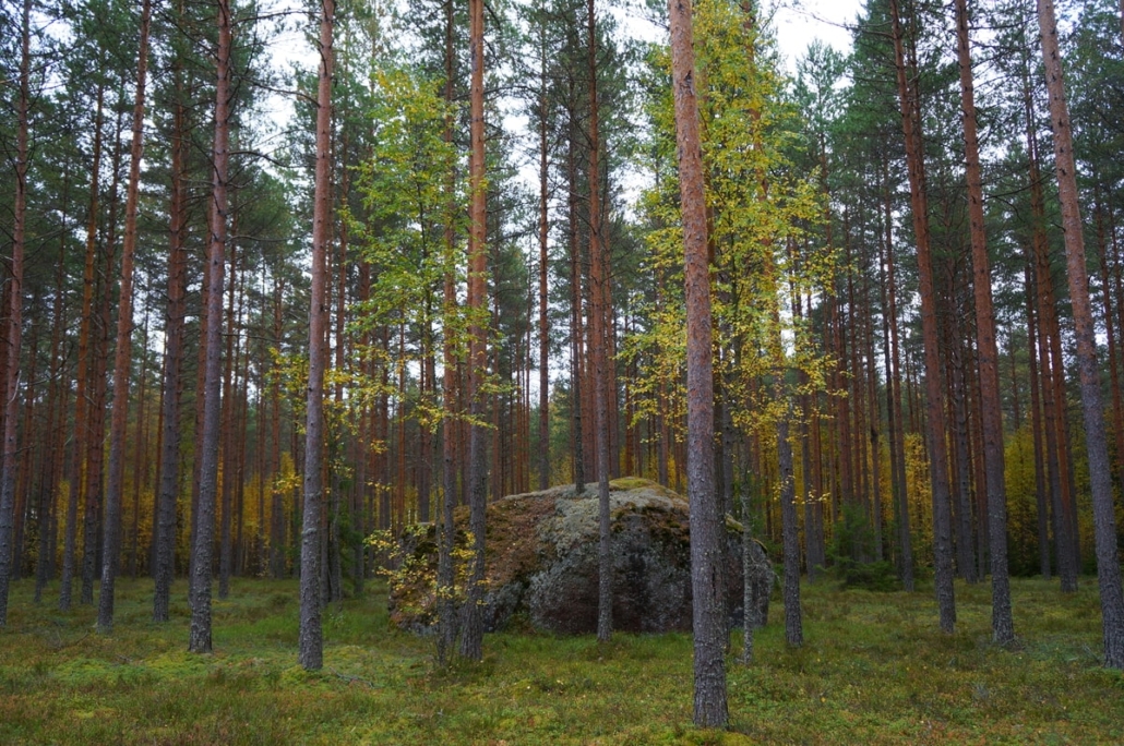
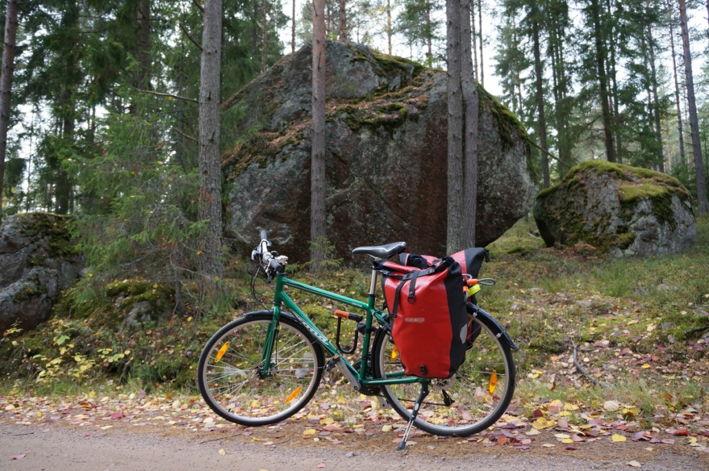
Great boulders in a pine forest 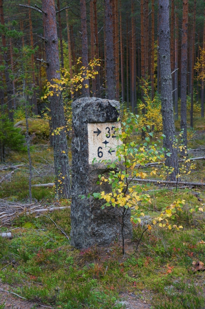
6 km to Virojoki, 32 km to where? Klamila? 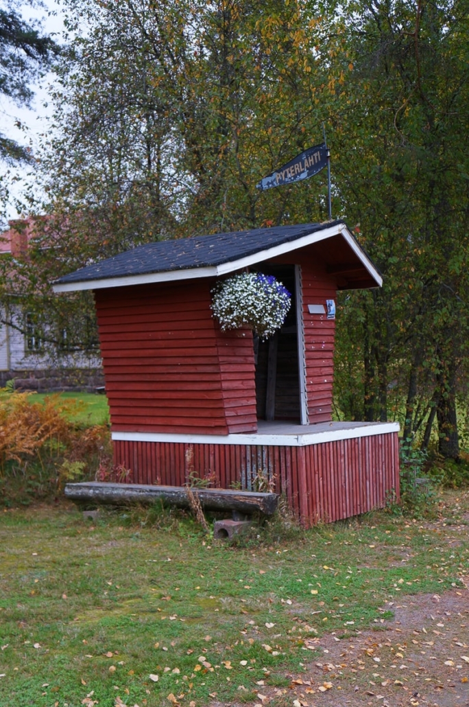
Pyterlahti milk pier
After the village center, my journey continued on a bike road next to Vaalimaantie for a short while before the last bit of road turning to Miehikkälä. A couple of sphere-shaped dugouts were marked on the route map along Mattilantie, which I decided to visit. I found the dugouts relatively easily when I followed the path in the forest. But I didn’t enter because they seemed to be in bad condition. Also, there were some homes nearby so you had to be careful not to walk into anyone’s yard.
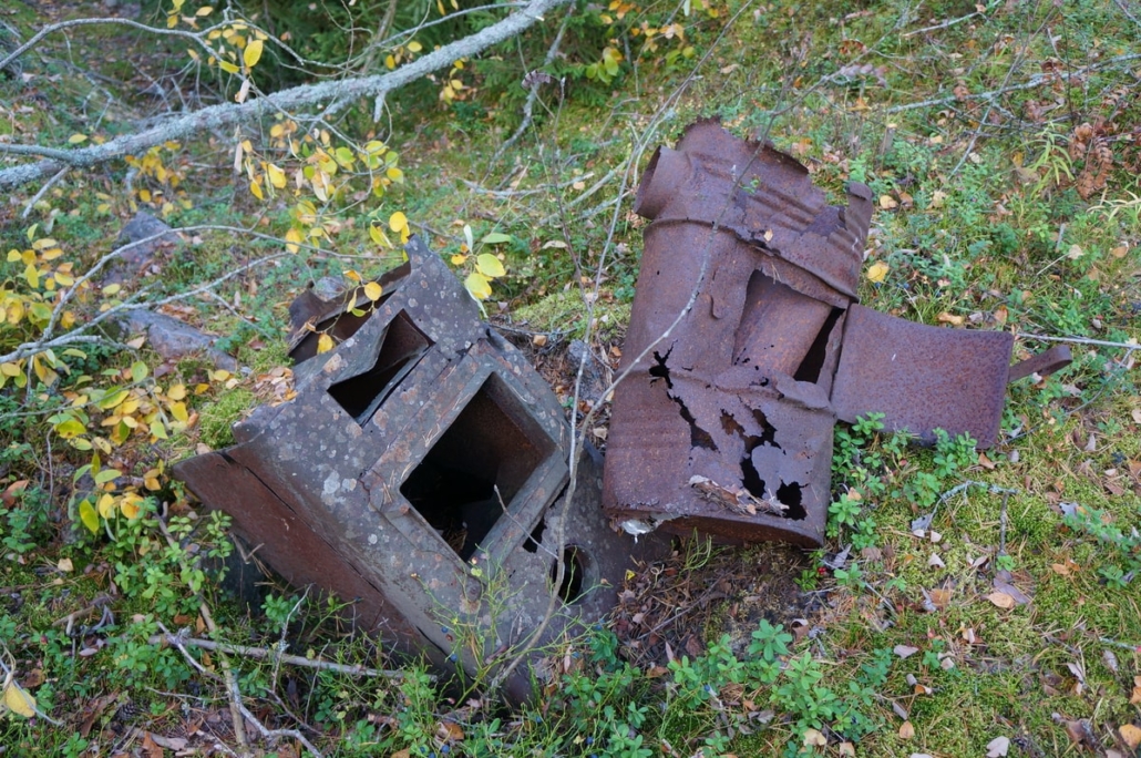
Dugout stoves 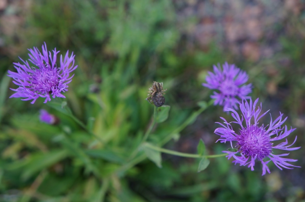
Still blooming on the last day of September!
Soon I spotted a sphere-shaped dugout right by the side of the road on the left side! The camouflage of the dugout – the moss that covered it – was destroyed, so the round dome was clearly visible. Unfortunately, the location by the side of the road meant that the dugout was full of trash bags and I didn’t bother to go inside. According to the Finnish trekking etiquette, you should always take your trash to the nearest trash can and take them with you if there are no trash cans on site. Nothing should be left behind.

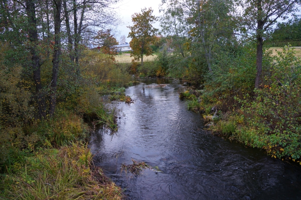
Based on the map, the next attraction was the Kotolankoski rapids of Vaalimaanjoki, which was a very pretty place. It would have been a much better place for a break than the place I had chosen. After the rapids, the road turned into a dirt road and passed through the village of Kotola. Kotolankoski is worth a break!
The evening was getting darker, and I had to maintain a decent speed so that I could get to my accommodation near the center of Miehikkälä. Indeed, around September and October, you have to consider the fact that it starts to get dark around 7 p.m. Finally, I spotted the village of Miehikkälä!
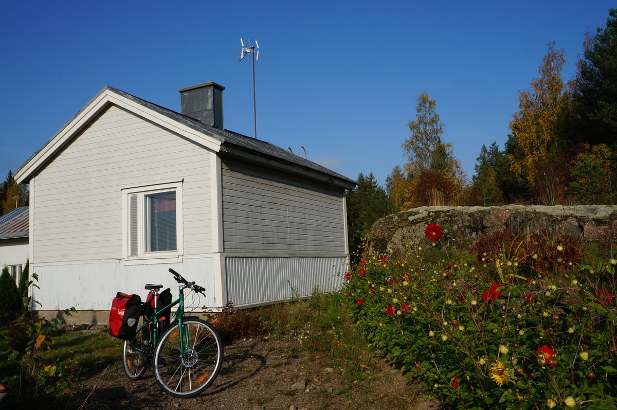
According to the instructions, the accommodation was next to the church. In the tenant’s yard, the village blacksmith’s cabin was a separate two-person accommodation building with a kitchenette, toilet and shower. Perfect accommodation for such a one-night bike ride.
It is also possible to plan the route so that you stay in a tent at one of the lean-to or campfire sites along the route. These are located in the western part of the route, so in that case you should start from the Salpa Line Museum in Miehikkälä. I had originally thought about bringing a tent, but I couldn’t fit the gear on the bike so I decided to book accommodation. Based on the route map, there seem to be accommodation options in several places, so there is room for choice.
After breakfast, I started towards the Salpa Line Museum, which was only three kilometers from the center of Miehikkälä. I decided to take a shortcut along Taavetintie and skip going round Myllylampi, marked on the route map. The trip started uphill and I felt the 40 km cycling from the previous day.
After climbing into the museum courtyard, I marveled at the silence and indeed: it was October 1st and the museum was no longer open during weekdays! This was my own mistake, since I hadn’t considered it would be October. From the window I could see that staff were there and after knocking on the door they were kind enough to give me a map of the outdoor areas and permission to tour places that were not locked.
I had thought that I could safely visit the museum’s refurbished dugouts, but this seems like the perfect excuse to revisit southeast Finland some other time.
That’s how impressed I am with the Salpa Line fortifications. In sunny weather, I toured the trenches, visited the aerial surveillance tower, and marveled at the tank barriers and cannons. I was thinking how all of it would have worked if the enemy had approached Taavetintie. Could they have stopped it? The tour took so much time that I decided to use my Trangia to cook lunch at the museum’s campfire site.
Angular aesthetics 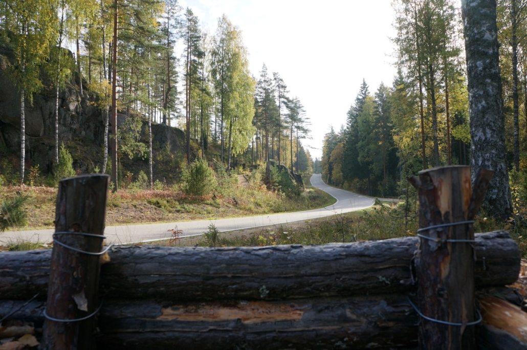
This place would have been used to spot incoming troops, oh wow! 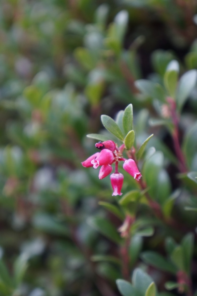
There are beautiful things in the trenches these days. 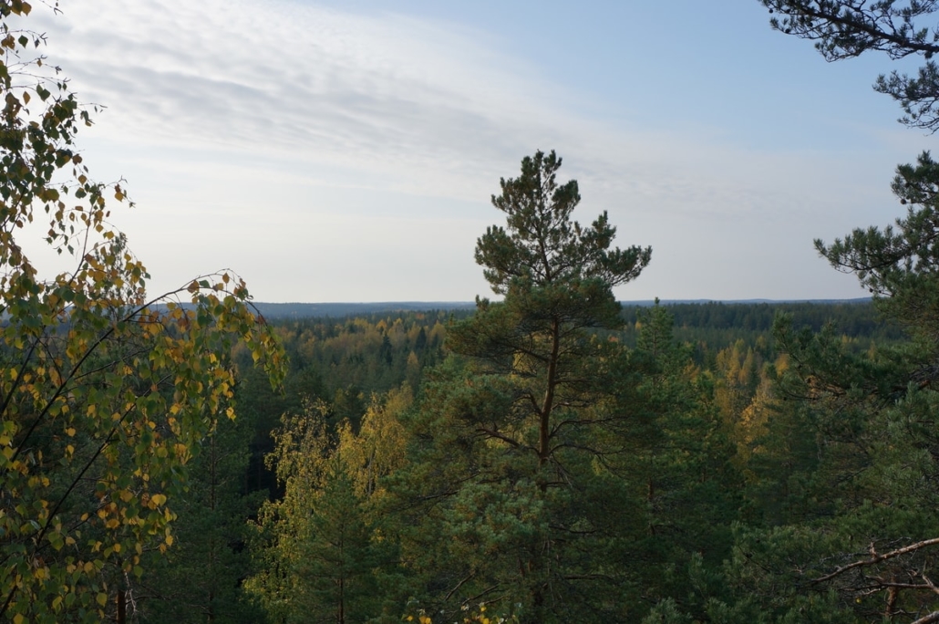
Aerial surveillance tower views Tank barriers and fall colors
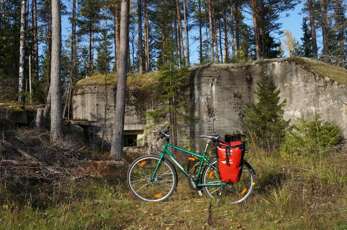
From the museum, the route turned to Rakolantie and an exceptionally enjoyable part of the journey started! The road was a smooth dirt road and it meandered in stunning pine forest, among sturdy and gloomy spruce trees, and occasionally through idyllic field areas. When cycling, you felt like you were following a trail of historical events. I wonder if the people who built the Salpa Line are still alive. Have they felt proud to build such large fortifications? The concrete dugouts are in relatively good condition, as the Finnish Defense Forces partially maintained them until the 1980s.
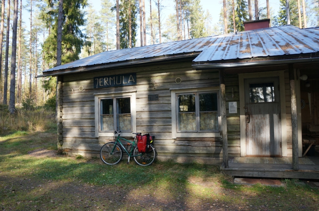
On this stretch, many parts of the route merged with the Salpa Trail. I had read in the guide that there was something worth seeing in Jermula, and I decided to visit, even based on the name alone, to see what I would find in the direction of the sign.
There was a sign to the dugouts on the way there, but I kept going all the way to the back where I found a parking area. A road continued to the right, and there I first found a tipi-like hut, then a Jermula cottage used by war veterans, and a lean-to. There were concrete figures at the campsite: a couple and a dog, but I didn’t see anyone else. There was also a well in the yard and a long jetty at the beach. I was startled when a heron took off just a few meters from the beach!
When I came back, I went to the parking area to find dugout 310/443. I just took a sneak peek, because once again I was terrified to go in alone. There was even an information board near the door. As I cycled back to the route, I noticed an embrasure disguised with rocks on the slope and climbed to see it. I was beginning to know how to look for the fortifications in the terrain!
Empty house 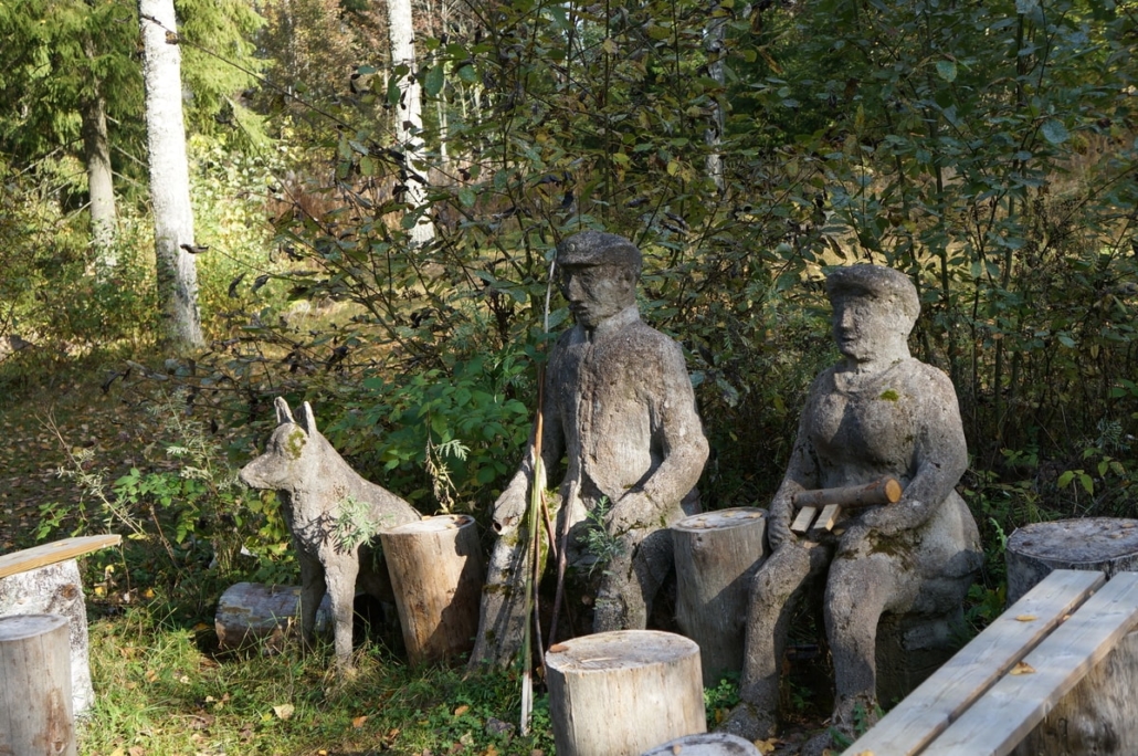
The people at the campfire site were quiet
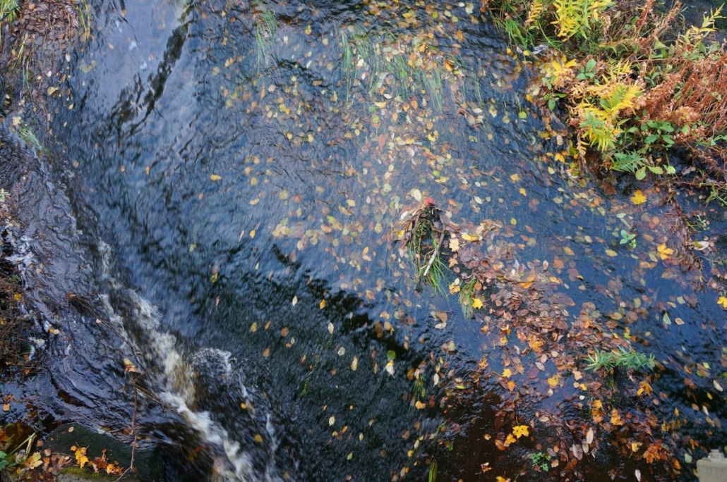
The fall colors were beautiful and bright, as the sun shined in summerlike fashion. The grain fields were all already harvested – fortunately, because winter is approaching. After turning to Vuolteentie, the route crossed another beautiful little river, the Turanjoki.
From the Salpa Line Museum onwards, the cycling route sometimes merges with the Salpa Trail for long distances. There were also beautiful, short forest parts on Vuolteentie, and there were even dugouts right next to the road. The shore of Pyyhinlampi would’ve been a great spot for a break, but after studying the terrain map, I found that going there would have meant uphills both ways, so I decided to postpone the coffee break. Today’s part had more hills anyway, and I was feeling it in my legs.
After this, there would have been a short mountain bike trail to the left, which traveled along the unfinished cave of Soikonvuori, and I had read it was beautiful. I decided that I might not dare go into the cave alone, and I decided to skip it on this trip. After the forest section, the route passed through the idyllic village of Mässelinmäki.
Shortly before the highway underpass, there was a concrete dugout 153 on the edge of the forest opening, which looked so firm that I ventured to go inside. The embrasure pointed directly at the highway. I thought that during the war there had been few roads in the area where the enemy could have progressed inland, and all of them had spots where they could be cut off if necessary. Now there’s a huge highway to Russia! But that is how it should be: neighboring countries peacefully trade with each other and live their own lives.
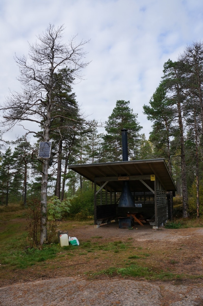
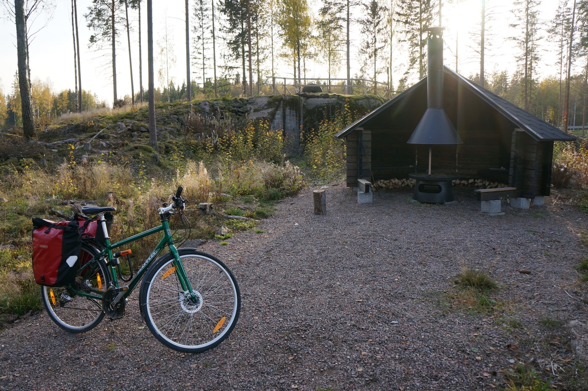
According to the map, there was supposed to be a lean-to right after the highway underpass, where I decided to take the last coffee break. I read on the information boards that a bunker had been blown up to make space for the highway. The Salpalaavu lean-to turned out to be a brand new lean-to placed right next to the concrete bunker! The sun was already setting behind the woods when I made the coffee and ate the last piece of apple pie.
There seemed to be a large parking area nearby and signs to the Bunker Museum, which was only 2.5 km away. The last part of the route was brand new asphalt road, which must have been built when the highway was completed. There would also have been a mountain bike section going alongside the Salpa Trail, which would probably have been nicer, but on my bike and load it wouldn’t have been a good idea.
The two days passed pleasantly when admiring the landscapes of southeastern Finland painted bright by the fall colors, and exploring the Salpa Line. The Salpa Line bike route can be recommended for tour cyclists, and you don’t have to be a military history enthusiast to go on the route. The route requires a bit of an adventure attitude, as it is not marked on the terrain and you need to read a map. Only a small part of the Salpa Line fortifications are marked and it might take some time to find them. Safety issues should also be taken into account. Most of the dugouts have not been refurbished, so they are accessed at your own risk.
Bring a good headlight (and spare lamp) with you. I highly recommend going with a friend, as going alone increases risks, and it took a lot of courage to explore the dugouts on my own, at least for me. Of course, during the summer or on weekends there are certainly more travelers in the area than during the off-season and on workdays. If you enjoy your own peace, then I recommend going on workdays.
In addition, it is advisable to check the opening hours of the museums in advance, as they definitely provide added value and information for the trip. For me, at least, the closed museums bothered me so much that I have to visit the area again in the future!
Read more:
EuroVelo 13 – Iron Curtain Trail, Visit Kotka–Hamina
The article has been created for the Bizcycle project / Southeast Finland-Russia CBC program. The program is funded by the European Union, the Russian Federation and the Republic of Finland.

Related Content


Leave a Reply
Want to join the discussion?Feel free to contribute!