An impressive cycling route in Raseborg: Presenting the 46-kilometre long Front Line Route
In commercial cooperation with Visit Raseborg
Article by Mika Puskala
The 46-kilometre long Front Line Route in Raseborg is an interesting, beautiful and also thought-provoking cycling route which starts from and ends in Ekenäs. The adventure awaits only a train ride away for example from Helsinki. History of the war is still present in many places along the route in the pinewood forests, which makes it so special. Read here about our experiences from the route when we took it at the end of July.
Circular route, 46 km (Google Maps)
Duration 6 hrs.
Start and finish coordinates on a map
An intermediate route. For those not accustomed to cycling long distances on roads, the route might feel hard.
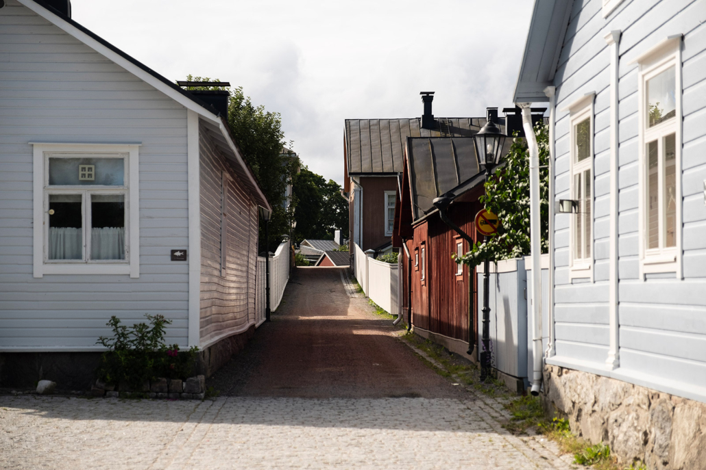
The centre of Ekenäs is quite lovely. The town was established way back in the 16th century, so expect to find ancient streets and idyllic courtyards adorned with apple trees. You can easily imagine hatters and clockmakers hard at work while the gentlefolk were taking their daily stroll.
The Front Line Route combined with lodging for a night or two in the town centre will give you a nice little mini-holiday. But it’s also a perfect destination for a day trip, if you come from Helsinki for instance.
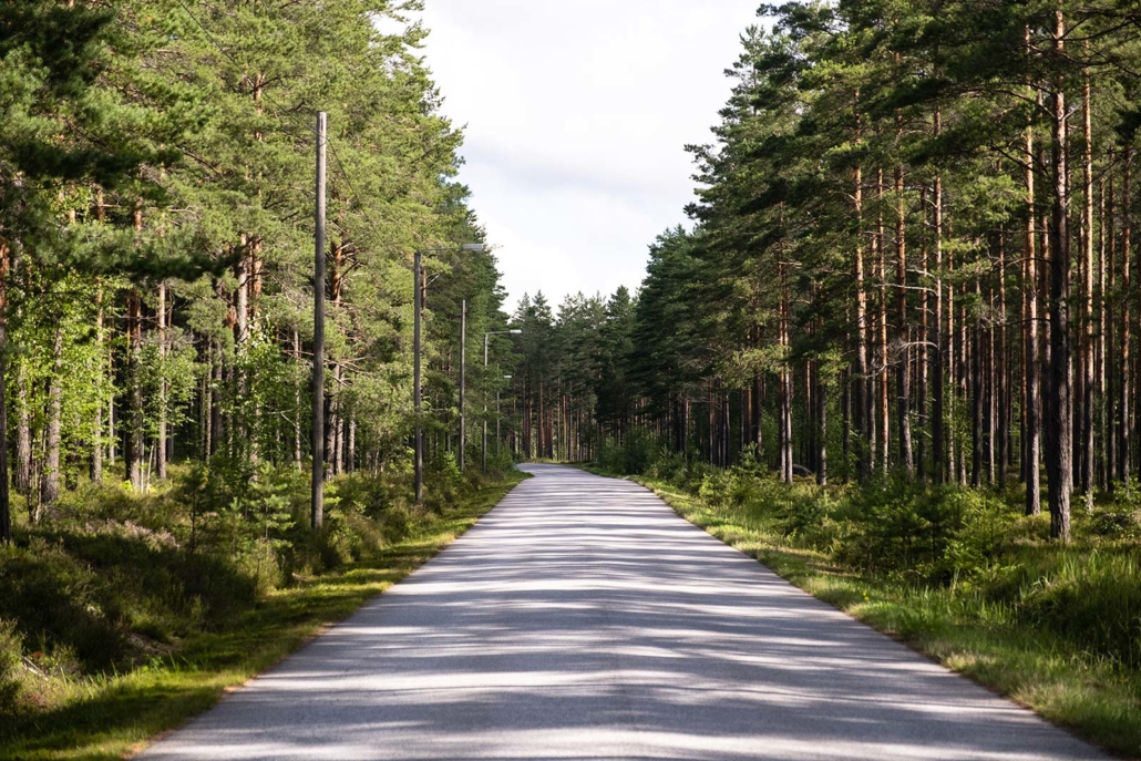
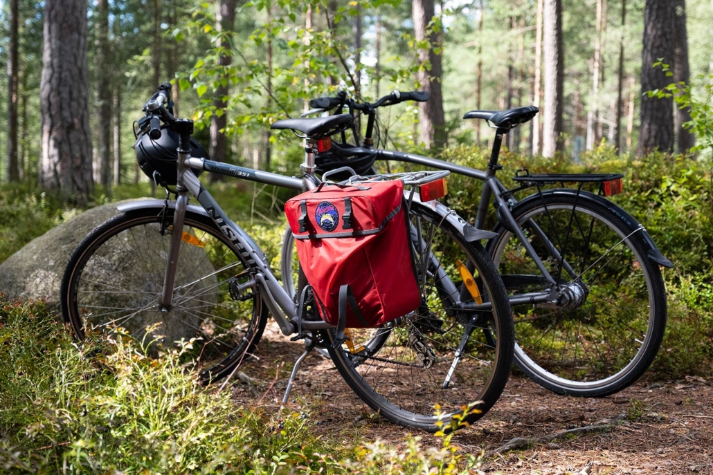
I had rented us bikes from Carfield Bike Rental which has rental points all over the coastline. In Ekenäs, the bikes can be rented and picked up at Motel Marine. Early in the morning, we park our car on the Raippatori Market, check the tyre pressures and hop on our bikes. The first leg on our route rolls along the highway no. 25 on the north side of the town. Google Maps guides us to the start of the route and along it. Following the route is easy, because there are not many different roads and turns on the way.
The Empress Dagmar’s spring and the beautiful Vitsand
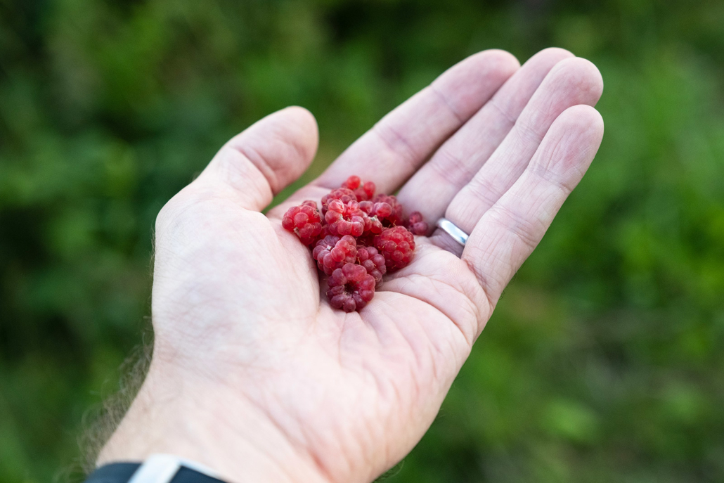
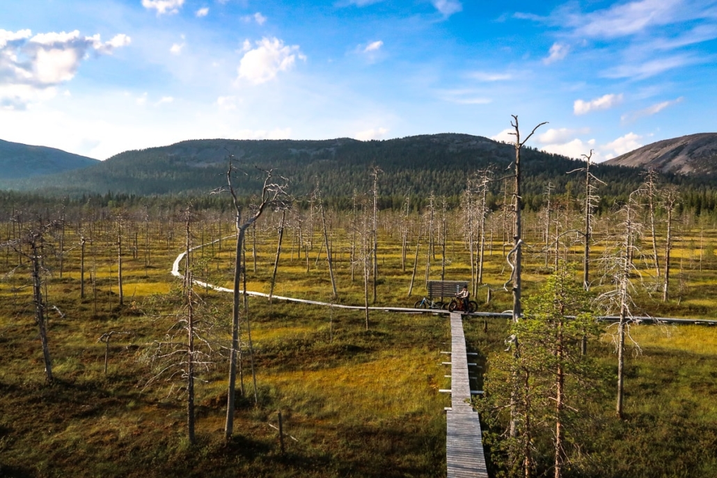
We are speeding along the first few kilometres from Ekenäs, on a combined cycle- and walking track, all the way to the crossroads of the Prästkullantie road. After that, we have to ride about a kilometre with other traffic until we turn to the Leksvallintie road. There is almost no other traffic. We stop to pick some raspberries by the roadside and enjoy the peaceful countryside. The tarmac is in good condition, and soon we arrive at the parking area of the Dagmar Park.
The nature conservation area of the Dagmar Park is located about 8 kilometres from the centre of Raseborg (Ekenäs). There’s plenty of parking space for cars, and if you arrive by bicycle, you have a chance to get a little closer to the spring itself. The parking area is clearly marked, and the signs and directions on the region are exemplary.
Finland celebrated its 100 years of independence in 2017. The nature conservation area resides on the land owned by Fiskars Company, who donated it on the same year to Metsähallitus to be maintained for 100 years.
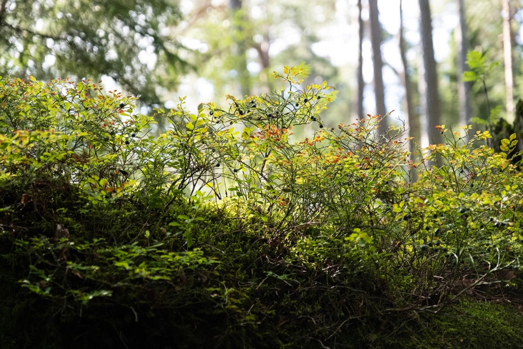
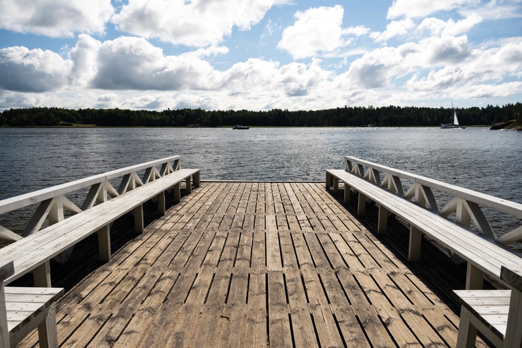
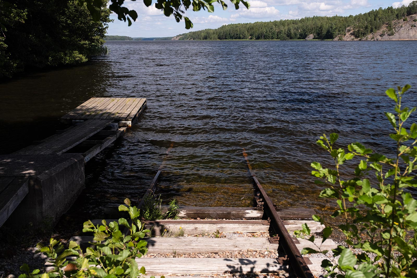
The dry pinewood forest continues down towards the sea and turns into a lush oasis on the way, as the groundwater springs through the Lohjanharju esker, forming a small, meandering stream. Spending a while in a stone pool, the water eventually runs into the sea. On the beautiful little beach, there is a small pier with a bench. An ideal place to spend a hot summer day, I would say.
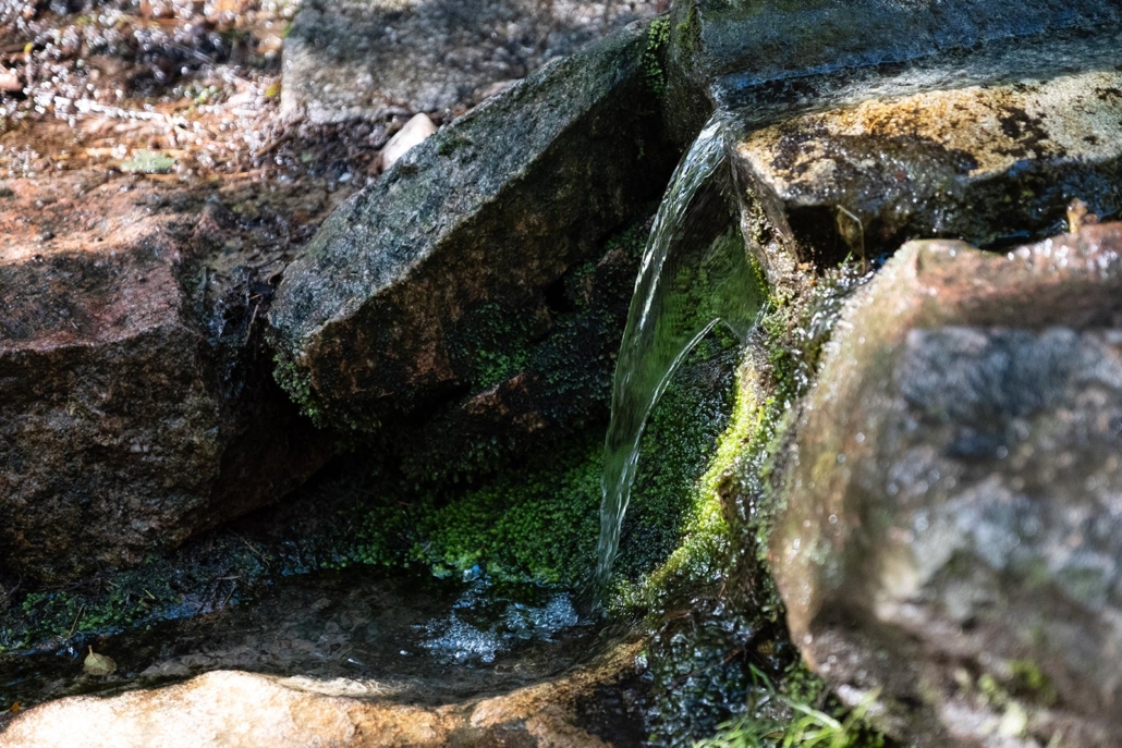
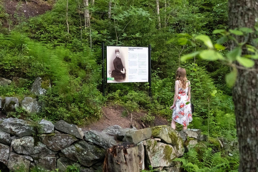
The spring of Dagmar got its name from Princess Dagmar of Denmark who married the crown prince Alexander of Russia. Alexander and Dagmar made many trips to the Finnish archipelago on their yacht, usually mooring in the safety of Lähdelahti bay. The visits of the Emperor and Empress have been recorded on the memorial stone by the spring.
We walk back to our bikes and continue southwest along the Leksvallintie road. After a few kilometres, the road takes a turn to the left and to the beach of Vitsand. If you wish to take a more direct route, there is also a path from the Dagmar’s spring, leading straight to Vitsand.
The trail from the spring to Vitsand is a forest path, so it’s more comfortable to ride it with a bike that has little fattier tyres than normal. There doesn’t seem to be any specific instructions in Vitsand where to park one’s bike, so it’s up to you if you want to challenge yourself or to take it easy: the trail is short but bumpy.
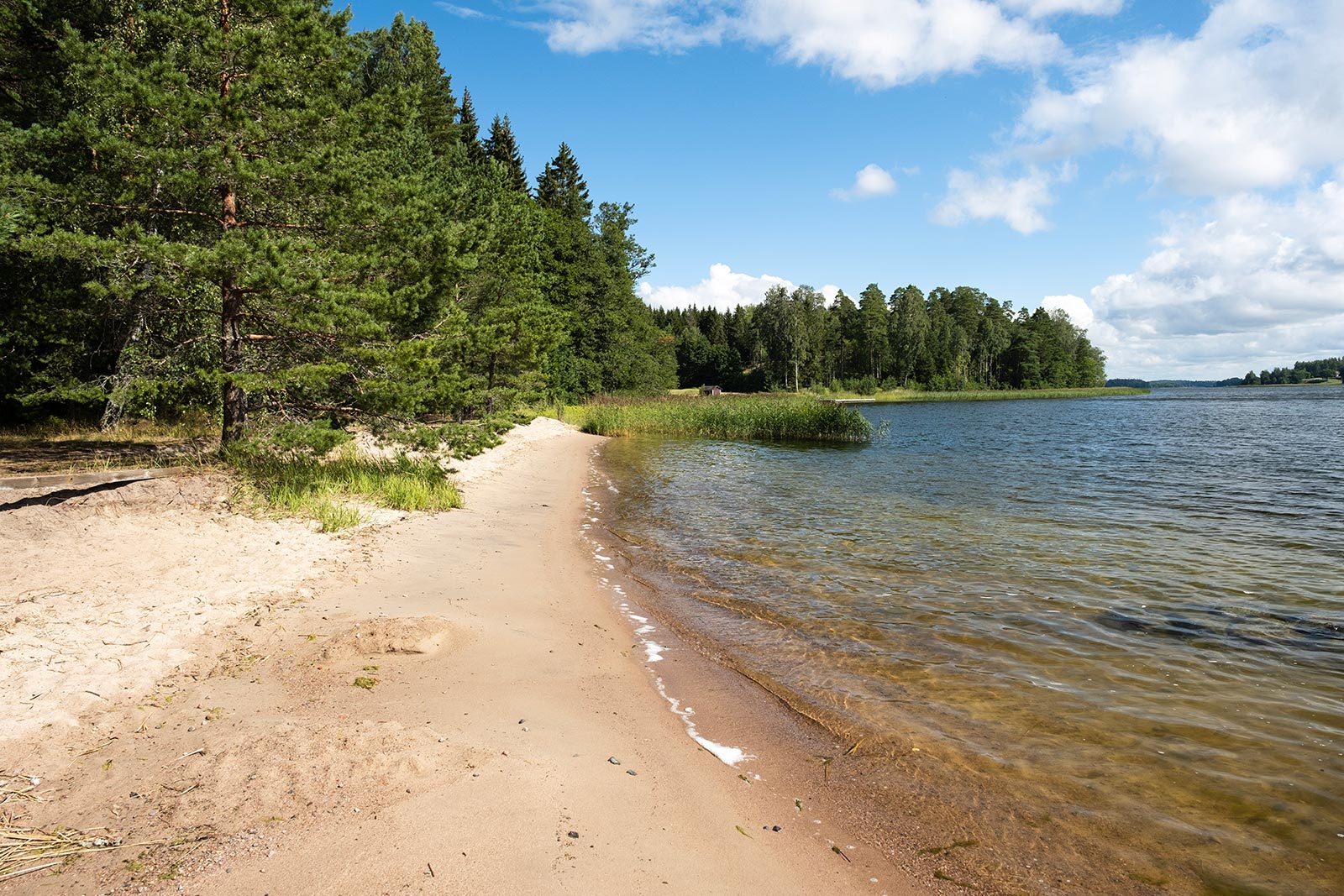
Nowadays, it is very hard to imagine, how the white, sandy beach of Vitsand used to be a stage for a fierce battle between British warships and Russian–Finnish troops and their gun battery on the opposite side, during the Crimean War in 1854-1856.
Our coastline is strategically very important, so it has seen blood spilled on many occasions throughout history.
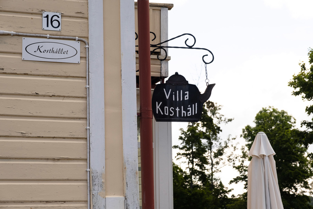
After we return to the road, we continue a few kilometres along the Leksvallintie road, turning eventually to the road leading to the village of Skogby. The air is heavy with flying dust as we ride along the gravel road to a lovely wooden house called Villa Kosthåll. The house used to function as a mess hall and office of the Skogby sawmill as well as the residence of the sawmill’s founder, Mr. Mauritz Hisinger. Hisinger had a park built in the honour of Empress Dagmar, and he also acted as a host for the Emperor and Empress during their visit in 1888.
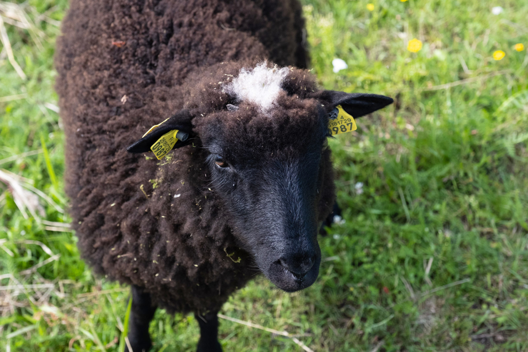
We spend a moment watching the sheep tending the courtyard lawn before riding northwest towards the village of Harparskog and a defence line named after the village.
The Bunker Museum and the impressive Irma 302
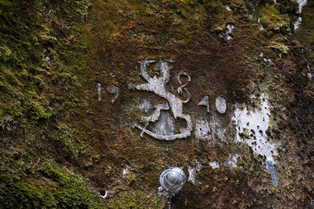
I think I have read my share of history, but at the same time, never really given any more thought to some of the events. One of the eras that I had apparently been totally oblivious to, was the lease of Hanko to the Soviet Union before the Continuation War in 1941-1944. When the Winter War (1939-1940) ended with the Moscow peace treaty in 1940, Finland had to give the whole of the Isthmus of Carelia to the Soviet Union and also lease them Hanko and its surrounding islands for 30 years.
The Soviet Union established a military base in Hanko with 27,000 troops and thousands of civilians. Altogether 40,000 people – four times as much as there were indigenous Finns. The so-called lace villas in the region received new residents, and Hanko became the “Riviera of the North”, with a strong competition for who got stationed there.
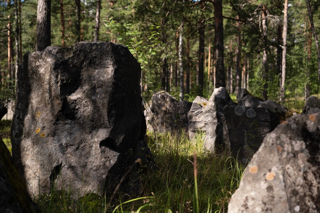
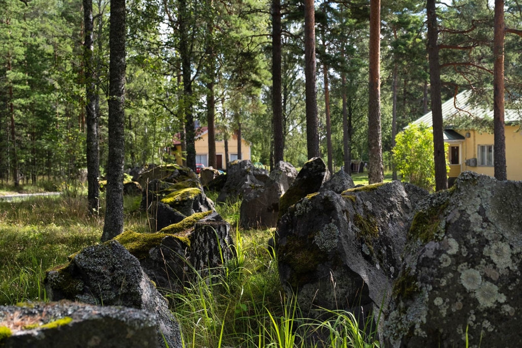
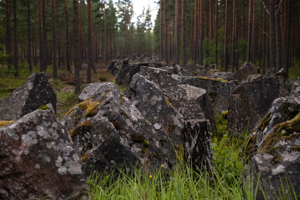
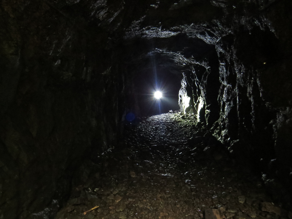
Obviously, Finland didn’t let her neighbour to roam on her back yard totally unprepared. Before the Continuation War, Finland had built a fortified defensive position along the border of the leased territory. By the end of May 1941, the Harparskog Line consisted of 46 concrete bunkers with a same amount of dugouts, 70 artillery sites and 113 machine gun nests. There was also a huge, several kilometres long anti-tank barrier built across the Hanko Peninsula. Parts of it are still visible, as we noticed on our cycling tour.
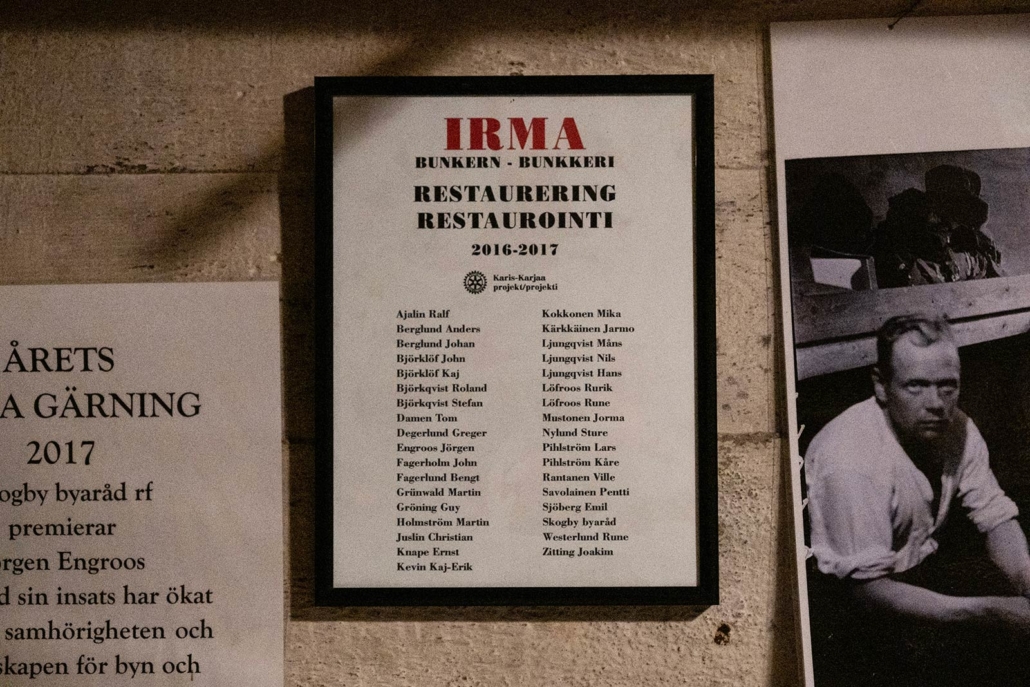
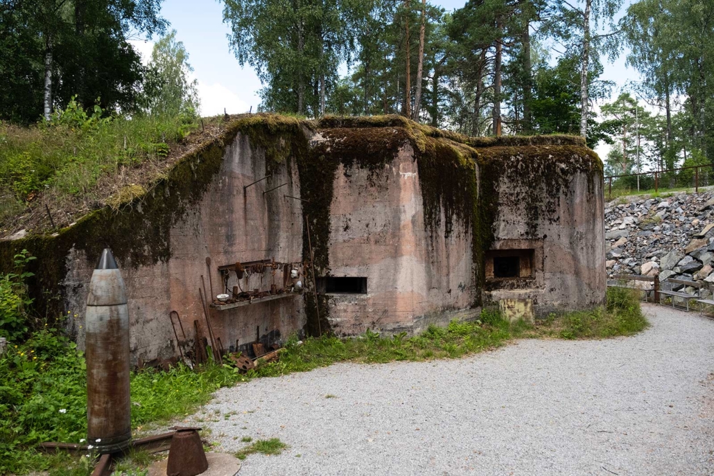
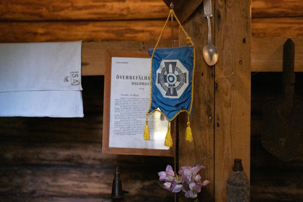
Those events seem to be far away in the past, especially in the middle of a warm summer day, but if you’re interested, you have a chance to look into the history in the bunker museum. The so-called Irma 302 was one of the tough concrete bunkers built on the temporary border. It has been since restored and opened for public. The armament of the bunker consists of a 45-millimetre anti-tank gun and a machine gun. The guns slide effortlessly on their well-oiled tracks, and the accuracy of the optical sights is still amazing. The smoke and sound effects take you back 80 years to experience what it was like to be one of the 16 soldiers manning the bunker. Available for groups visiting the bunker, the experience is both impressive and thought-provoking at the same time.


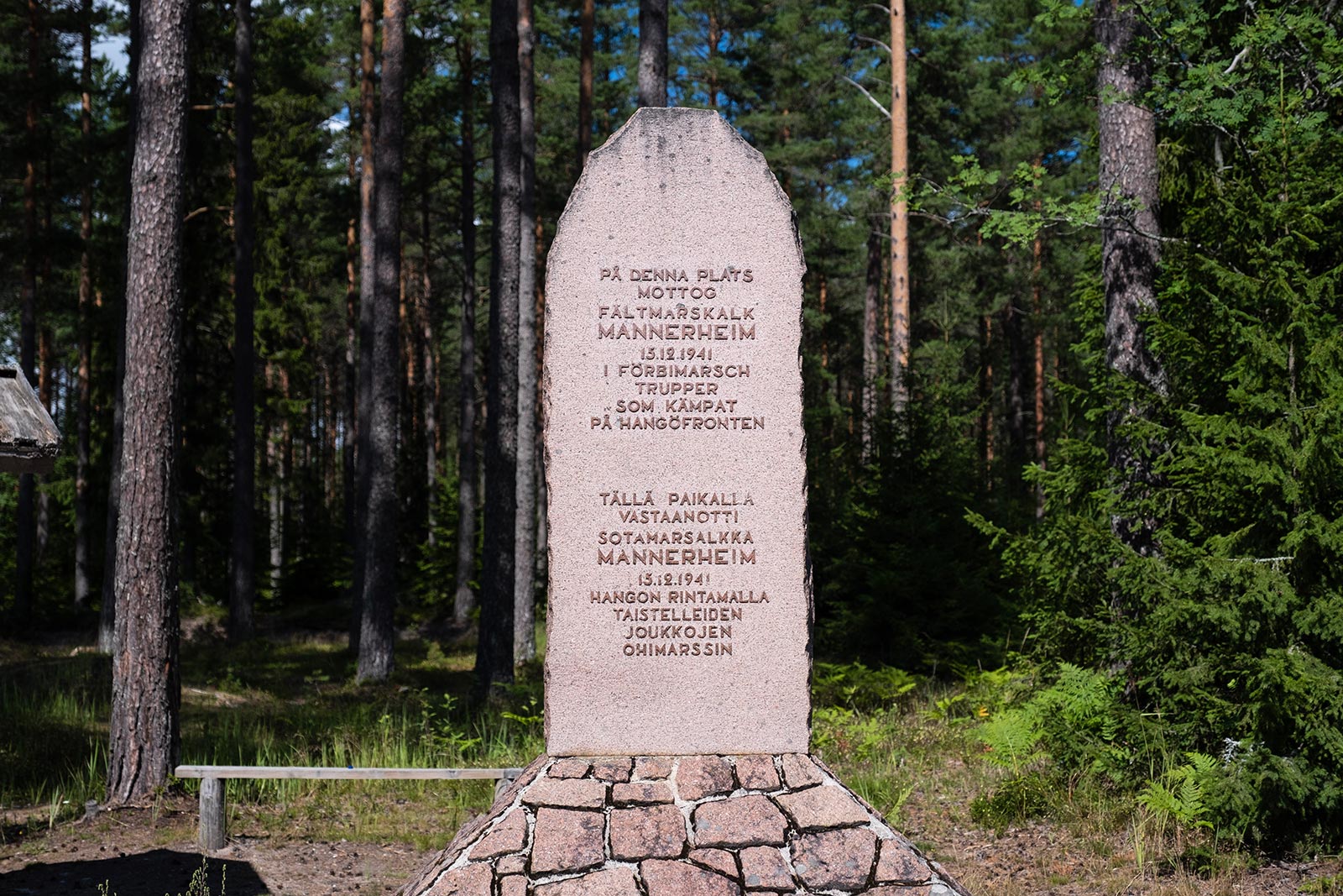
We continue about half a kilometre from the bunker towards the front line memorial, erected on a place where Marshal Mannerheim received the march-past of the troops in Hanko when the Soviet Union left the area. We pass by some private courtyards and ride to the memorial along a quiet village road. After enjoying our packed lunch, we get back on our bikes and move on.
The front line of the Hanko Peninsula was fixed all the way through the Continuation War, and both sides concentrating on defending their posts. Most of the battles were fought with the artillery, and where the front line was on land, it was trench warfare. The archipelago was a stage for more mobile battles. Eventually, the Soviets evacuated their base in Hanko, and the remainder of the troops left the town on December 3, 1941. On the very same morning, Finnish troops advanced into the empty town.
Hanko Front Museum
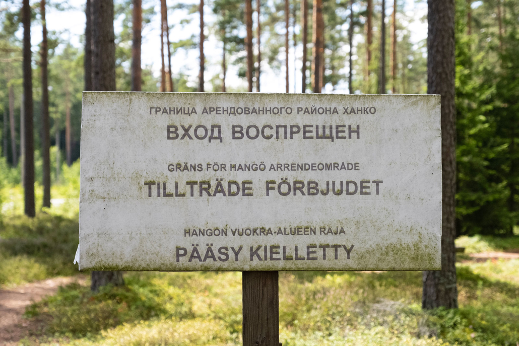
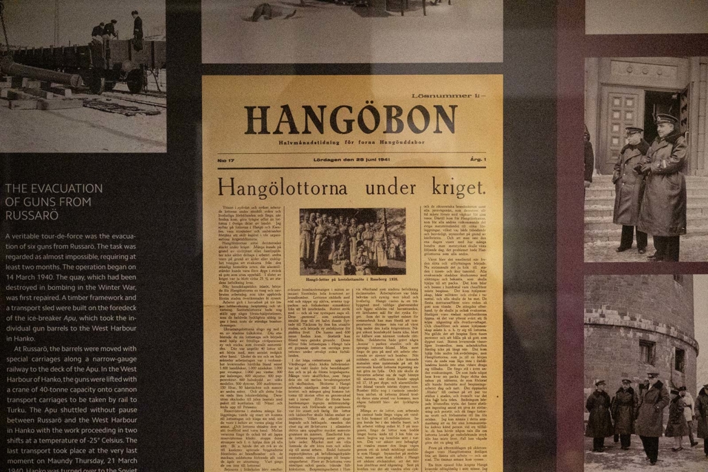
We get back on the highway and cycle a short distance to the Hanko Front Museum. I have seen the cannon on the museum courtyard flash by through our car window, but now it’s finally time to visit the museum itself. The permanent exhibition displays the events of 1939-1941 in detail with photographs, maps and various objects of the era. An old warning sign reminds the visitors that the border of the leased territory of Hanko was just a hundred metres away from the museum. The trenches surrounding the museum also provide quite an authentic feeling of those times, and they are also very exciting for the little ones visiting the museum. When we were there, children could also enjoy a pony ride on the museum grounds.
Read more about the war history of Hanko at Finland100.fi for example.
Back to the beginning
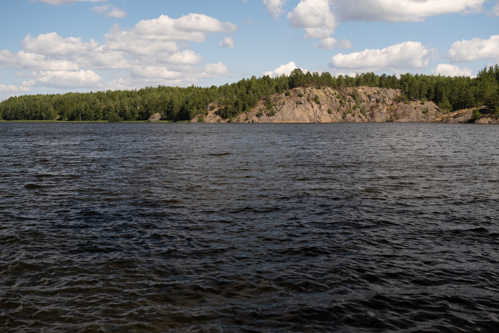
After having a cup of coffee at the Front Museum, we move on. We have two choices: either to go back the same way we came from or ride towards Hanko for a short while and then turn northwest. After all, as the idea is to take the circular route, we choose option no. 2. Riding through the villages of Öby and Vimenböle, we return on the Prästkullantie road and then back to Ekenäs, riding several kilometres alongside Lake Gennarbyviken. The lake was dammed from the bay for industrial purposes.
This leg is the most scenic of the whole route, reminding us about the Archipelago Trail and its stops. There’s little automobile traffic, and only a few other cyclists. We pass one walker who says a happy hello. One hill after another rolls by under our tyres. The lake shimmers as we make our way uphill, downhill, uphill and downhill again.
As this leg is practically gravelled all the way, we are happy to have fat tyres on our bikes. Rolling downhill is funny, but there are some treacherous grooves on the road which we have to negotiate carefully.
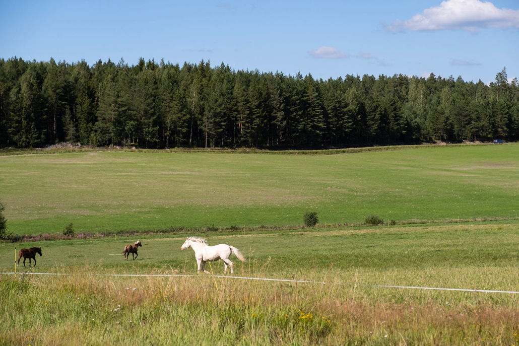
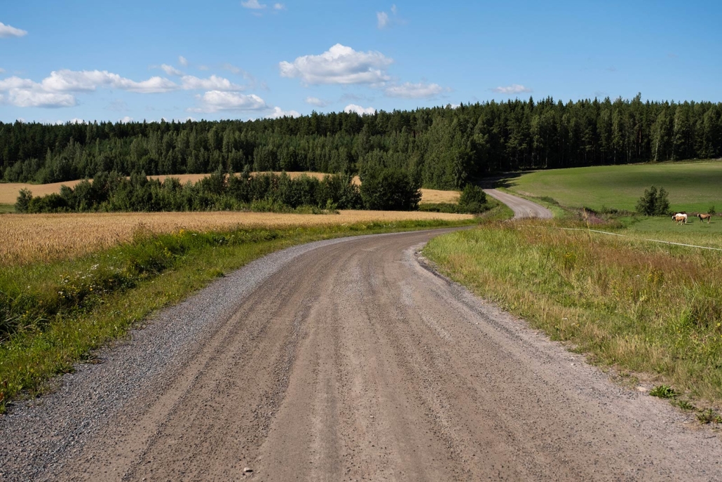
A white-tailed deer hops in front of us across the road. Three cranes are slowly moving on the field. We stop by the fieldside to eat our packed lunch, to be suspiciously watched upon by a proud steed from behind the fence. Our summer holiday is almost over, but we still have nine kilometres to go on tarmac. But in a landscape like this, it is no problem.
Read more:
Visit Raseborg – Front line Route
Visit Raseborg – Welcome to Raseborg
Visit Raseborg – Plan your stay
Translation Mikko Aslak Lemmetti
Related Content


Leave a Reply
Want to join the discussion?Feel free to contribute!