Exploring the Kalaja Trail: A Scenic 4.6 km Hike in Etelä-Konnevesi National Park
The 4.6-kilometer-long Kalaja Trail is the first route opened to visitors in Etelä-Konnevesi National Park. Originally based on a path that existed in the area long before the national park was established, the route has been redesigned to enhance visitor safety and highlight the scenic values of the area, which are truly worth admiring.
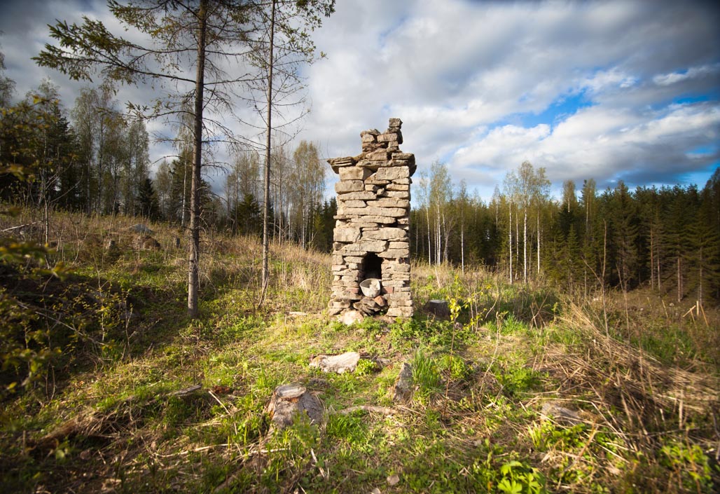
The journey begins at the Kalaja parking area. From there, you follow a path towards the Kalaja lean-to shelter, where the trail splits into a loop. Before reaching the pond, you’ll encounter one of the route’s sights: a fireplace with a chimney standing in the middle of the forest. Once, there was a house around it, but now everything else has disappeared.
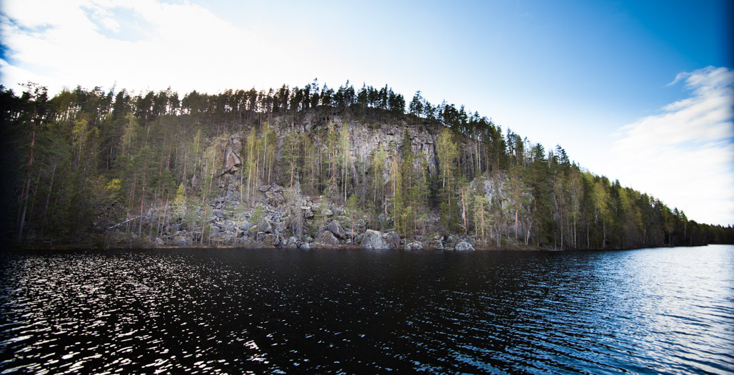
We recommend walking the route clockwise, which takes you along the eastern shore of Vuori-Kalaja pond. From there, a majestic view opens up towards Kalaja Hill, giving you a good impression of its massiveness.
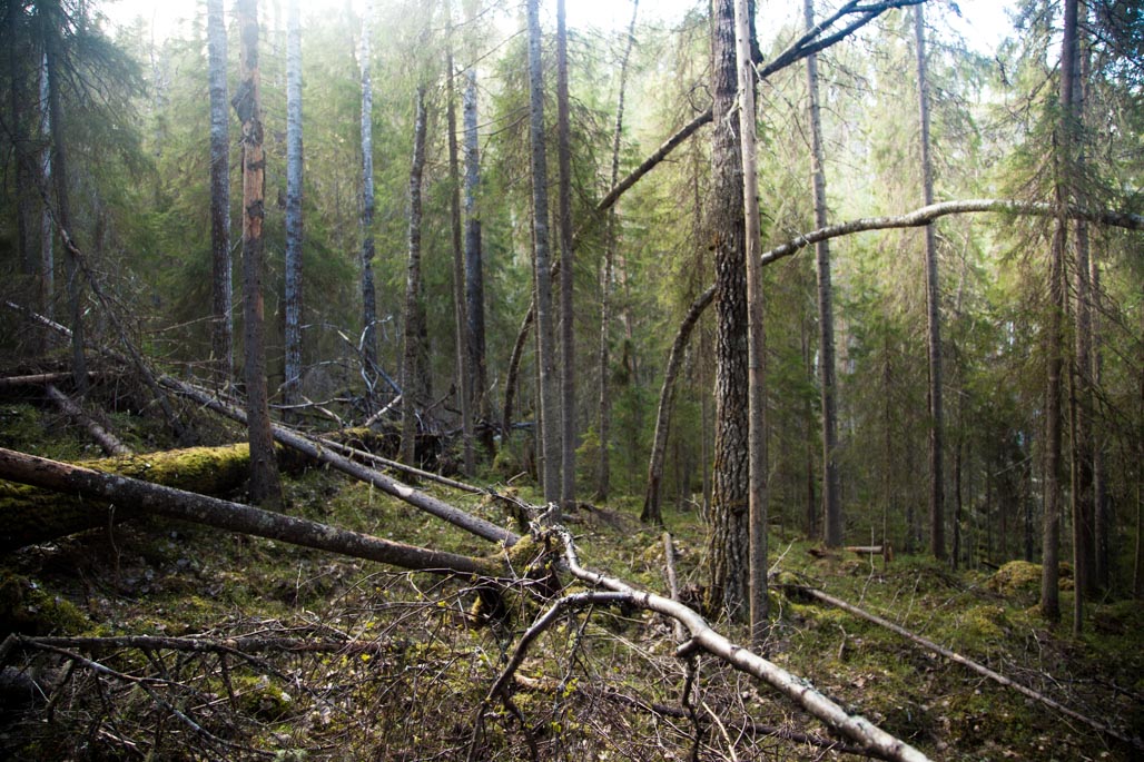
From the pond’s shore, the trail dives deeper into the forest and begins to ascend. Here begins the realm of giant aspens, creating an atmosphere reminiscent of an enchanted forest.
From the top of the slope, the trail continues north to the summit of Kalaja. We made a small detour here when I decided to check out some boulders glimpsed off to the side during a reconnaissance trip, which dominated the nearby landscape. In the future, the section of the trail leading to Kalaja Lake’s shore will pass by them.
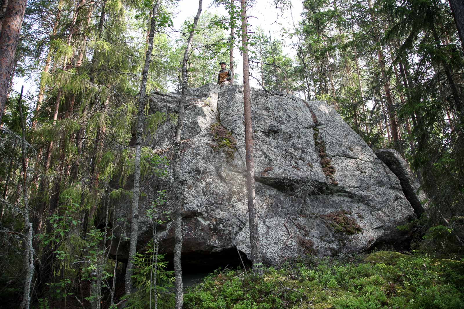
The boulders were truly impressive, made even more interesting by the fact that these stone giants enclosed two cavities beneath them that qualify as caves. In one, the floor was smooth bedrock, suitable for a nap during the summer. We left them behind and continued back to the Kalaja Trail, heading toward the mountain’s summit.
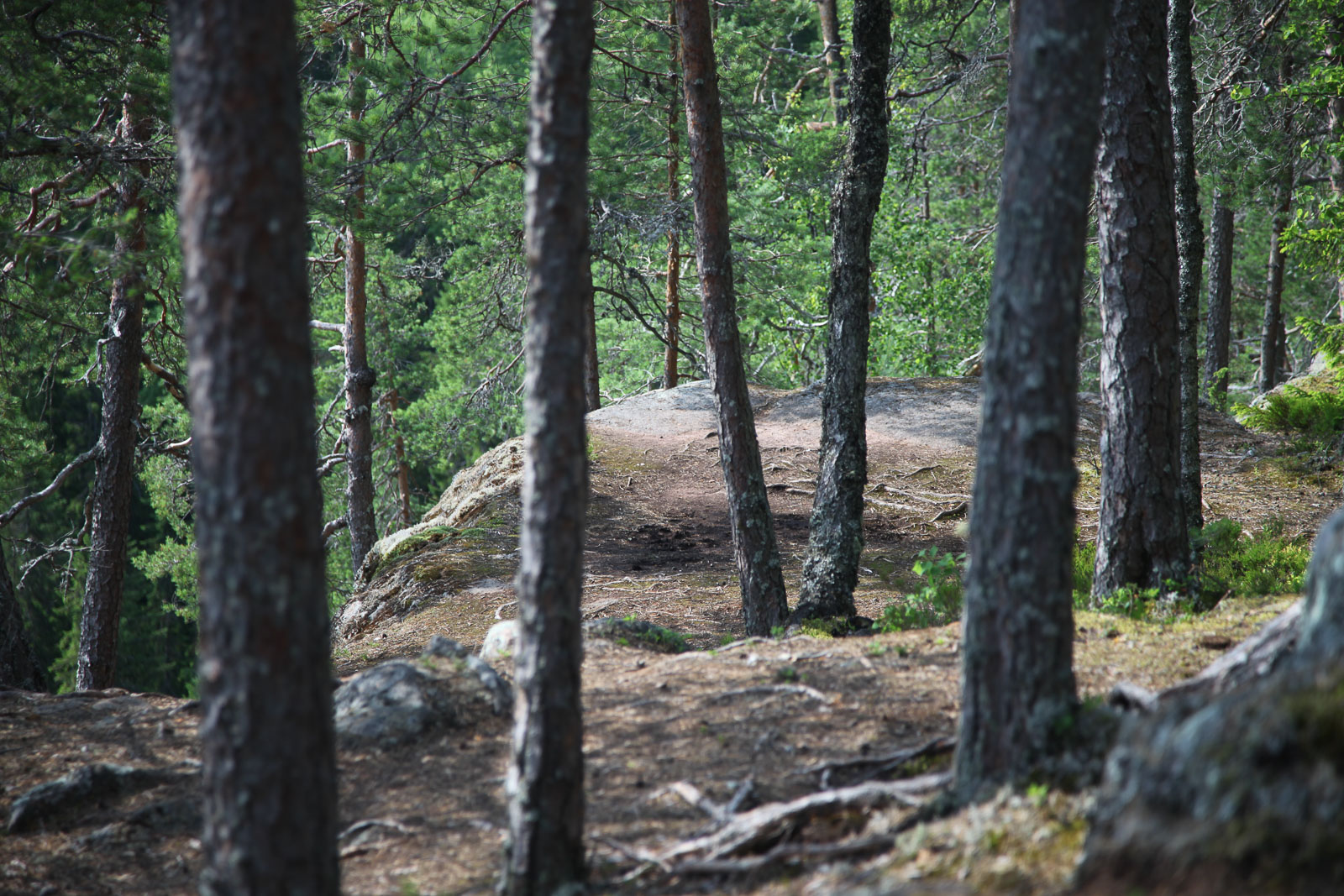
Soon, the terrain became more rocky. Spruces and aspens had given way to pines, which, though somewhat stunted in appearance, had stubbornly driven their taproots into the mountain’s soil, claiming it as their domain.
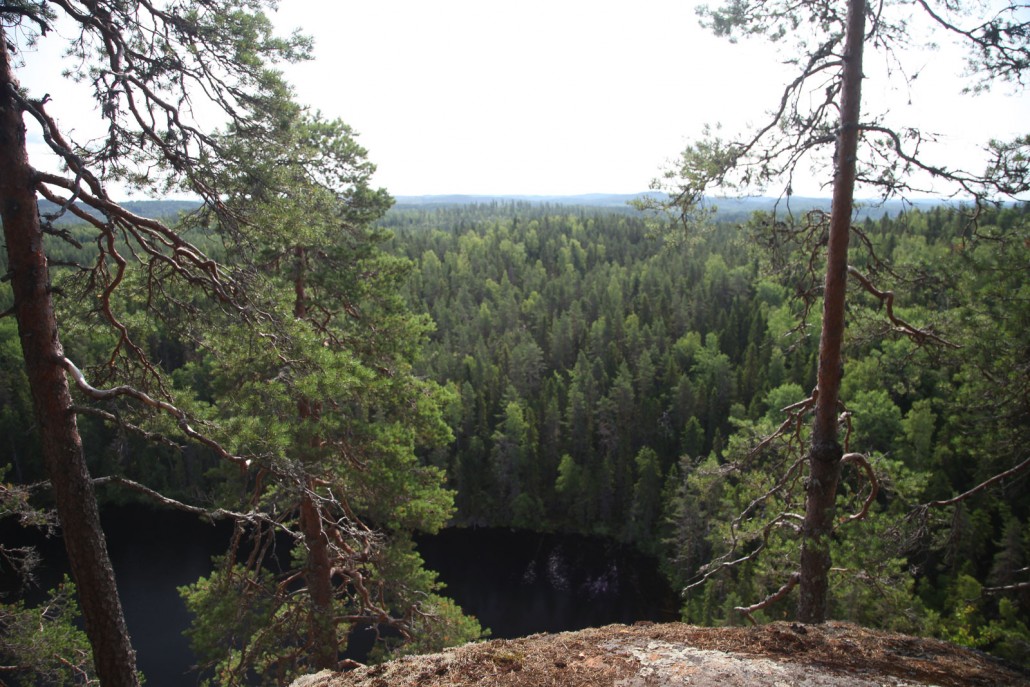
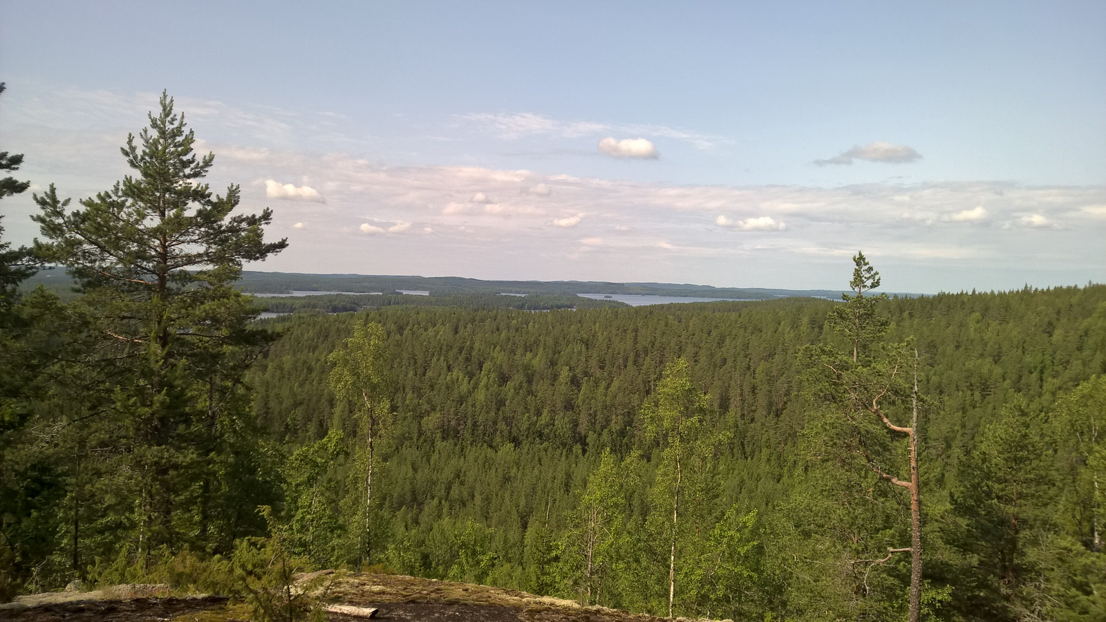
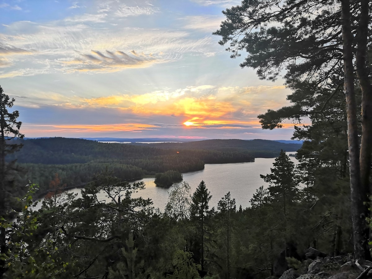
If you have to name one place among Etelä-Konnevesi’s mainland areas that’s worth visiting, it’s Kalaja Hill. The scenery is magnificent, and the cliff offers excitement for anyone with a fear of heights. So, it’s best not to look down, even though the dead trees at the bottom of the clear Vuori-Kalaja pond stand out impressively. If you raise your gaze higher, you’ll see the best part: a landscape that extends as far as the eye can see.

You can enjoy the expansive scenery once again when the trail circles to the west side of Kalaja’s summit. From there, a view opens up over Etelä-Konnevesi lake.
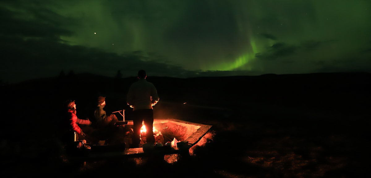
Finally, the trail descends and circles north of the mountain back to the lean-to shelter. It’s a great place to sit down for a moment, brew some coffee, grill some sausages, or even do both.
ETRS-TM35FIN planar coordinates: N 6940198 E 485062
Parking area on the map.
Related Content


Leave a Reply
Want to join the discussion?Feel free to contribute!