
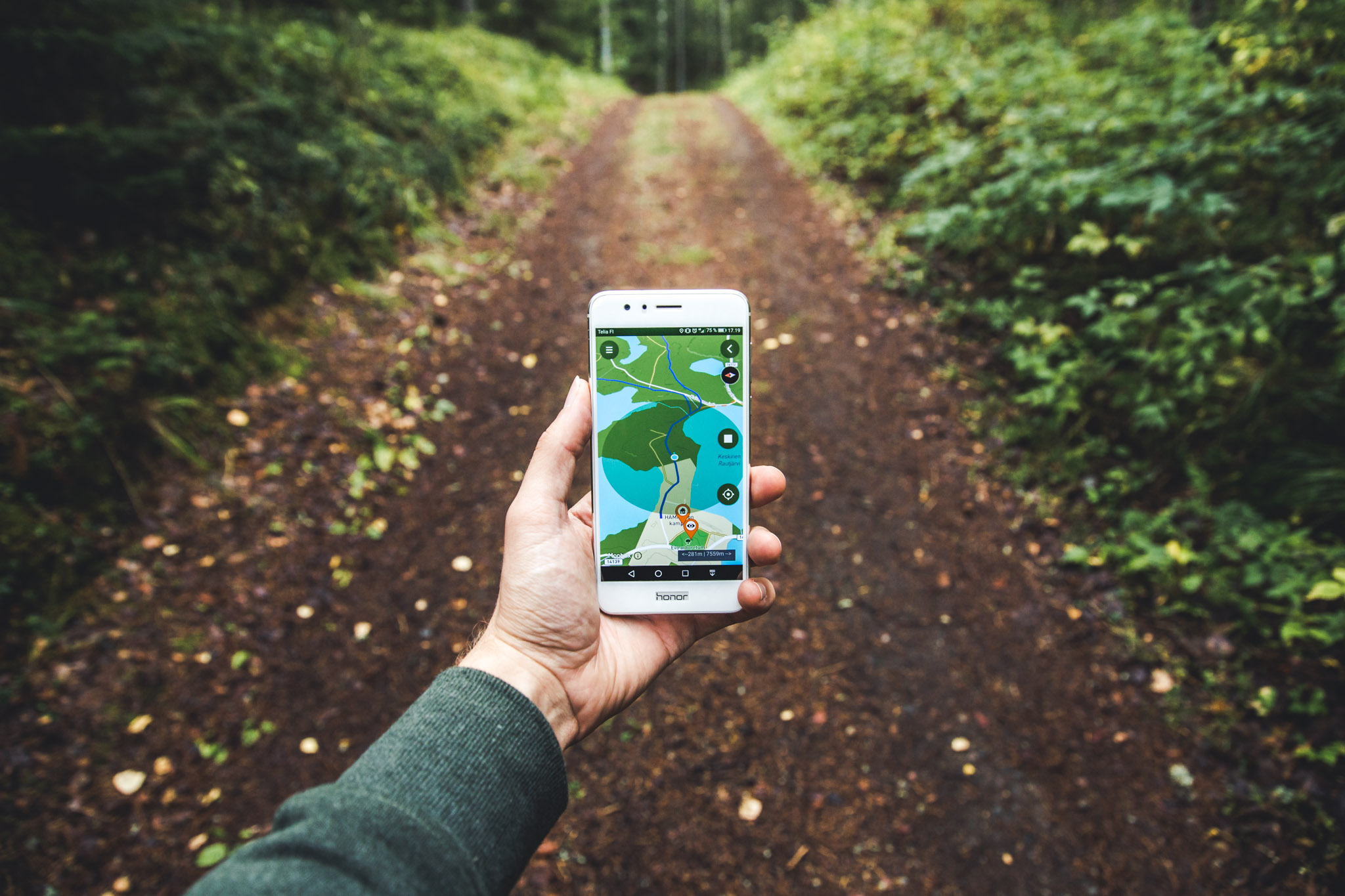
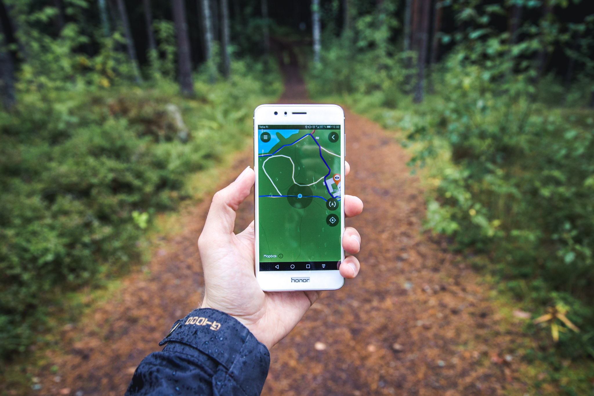
Evo recreational area’s Digitrail route: mobile phone app guides you on the trail and gives forest yoga instructions
Evo, a village in Häme only a couple of hour’s drive from Helsinki, is best known in Finland for its highly recommended recreational area as well as the country’s oldest forestry institute. This Digitrail route* helps us explore both.
I did however already have a guide of my own, as I managed to convince my father, who graduated from the institute almost 60 years ago, to join me. This meant that there was guaranteed to be a healthy dose of forest knowledge, my father’s hilarious (for him) stories from his student days as well as a brisk progression through landscapes which were straight out of a Finnish forest industry textbook.
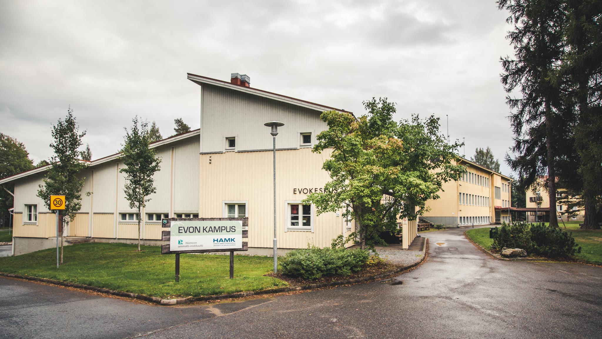
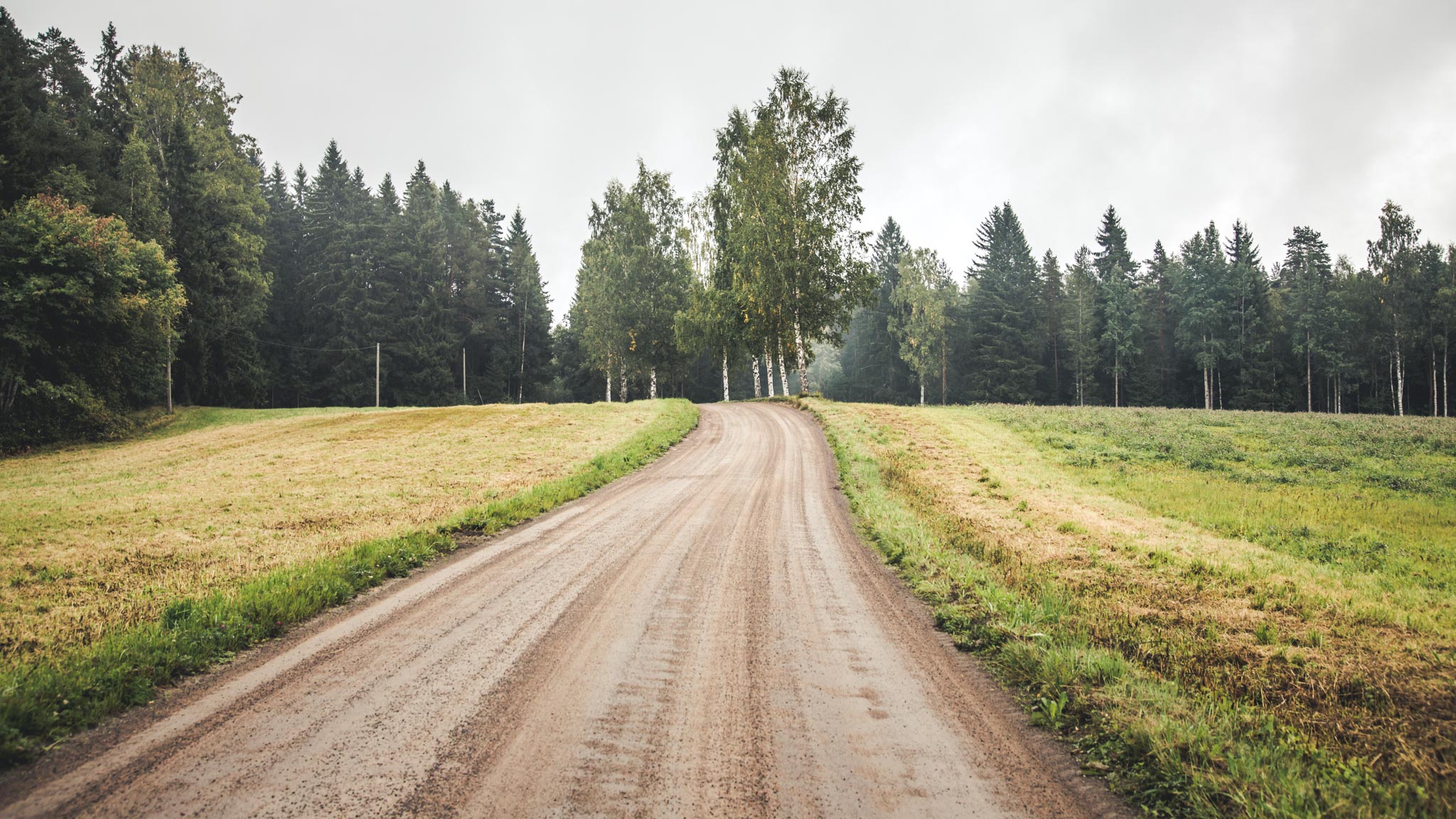
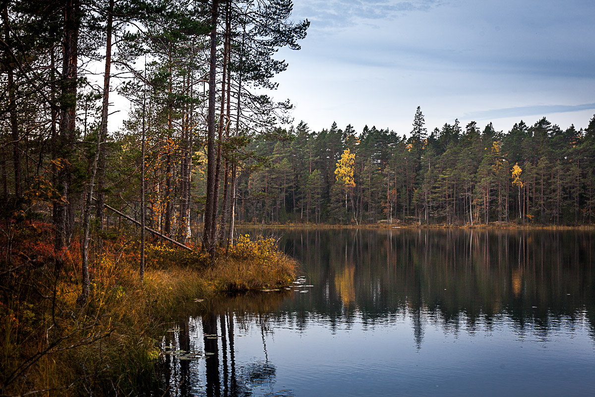
The Digitrail routes start from the Evo Centre, which was built as part of the institute to serve as the approximately 5000 hectare state-owned recreational area’s information centre. The campus area was built in the middle of three lakes, on a narrow isthmus.
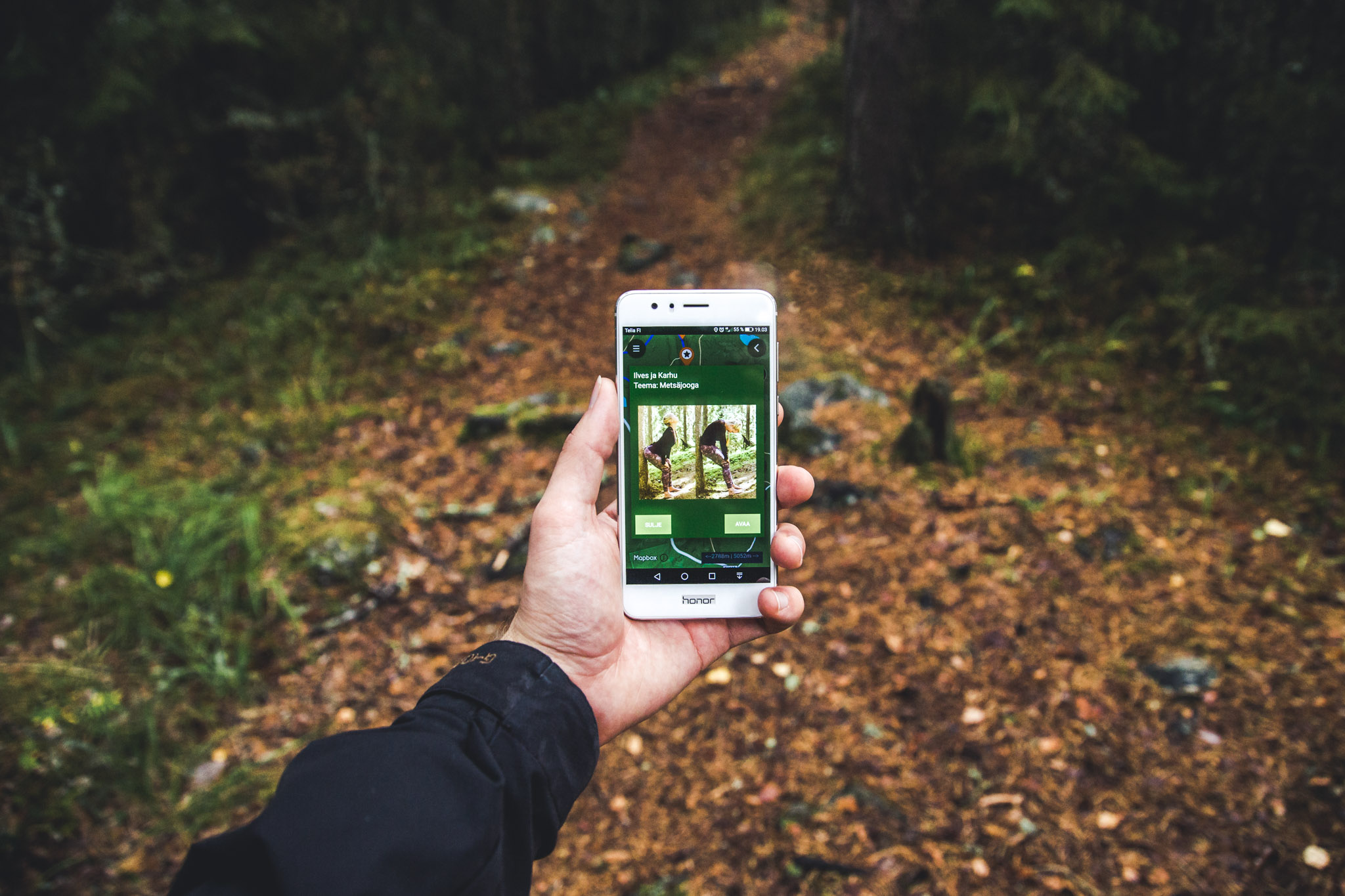
From the Digitrail app, we chose the middle route which followed the running track towards the west and was then made up of two consecutive loops, about seven kilometres in total. Part of the journey is out and back along the same route.
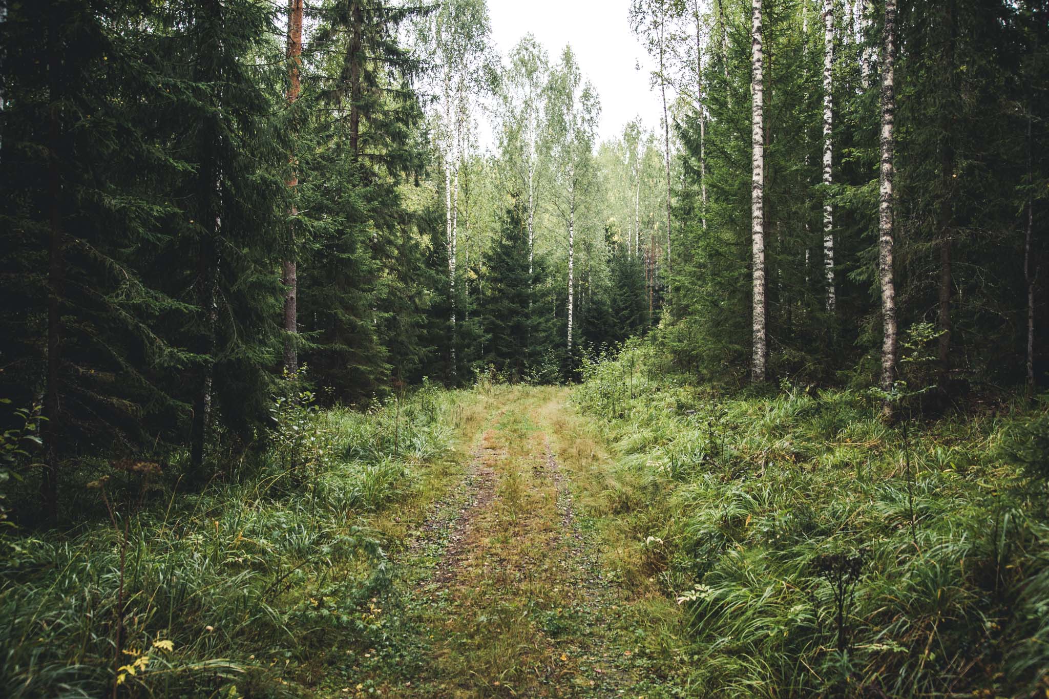
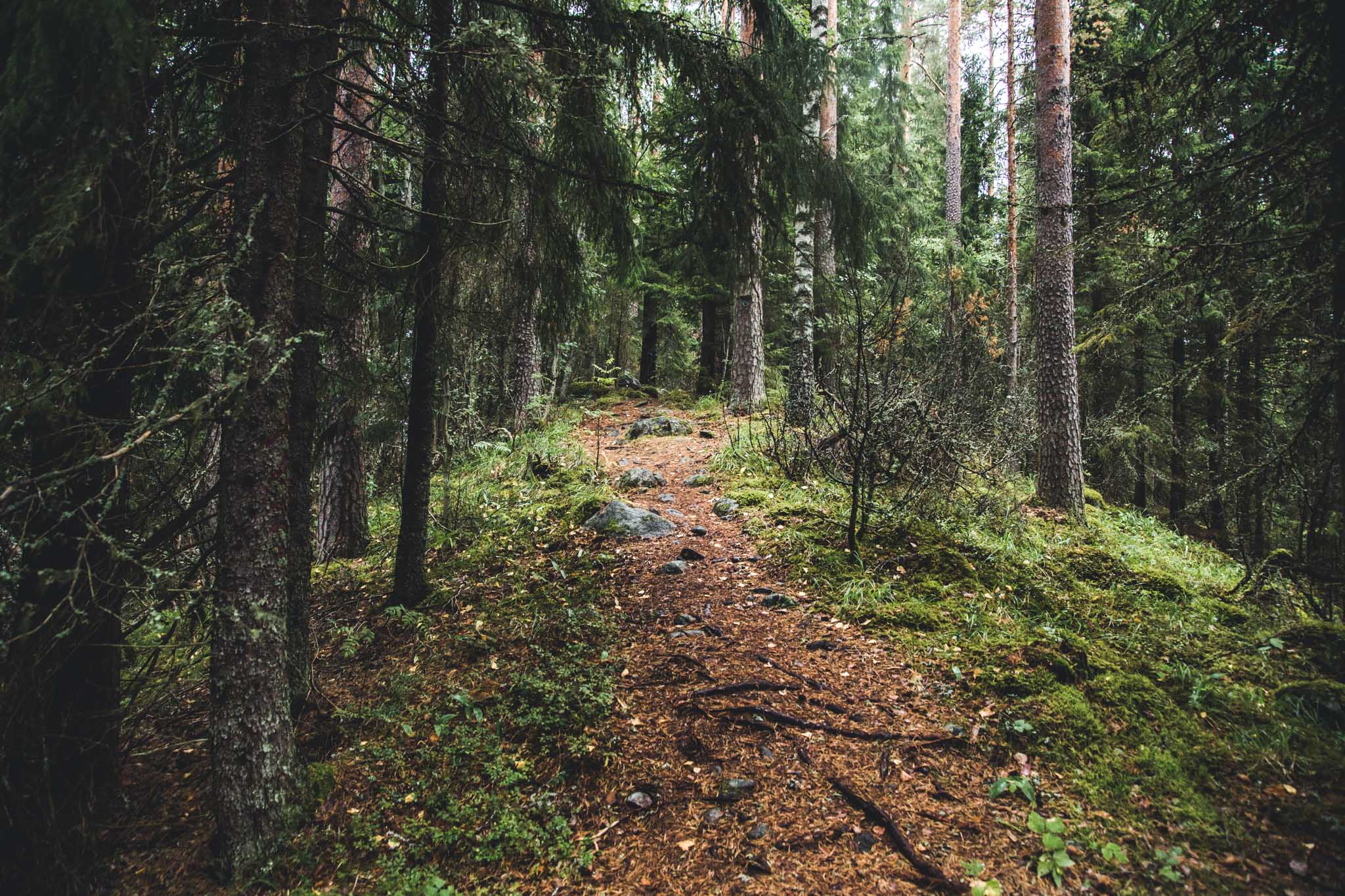
At the start of the journey we were introduced to some ancient trees that were well over a hundred years old and around three metres tall. Their tall, thick trunks stood straight and with few branches, the way that trees are supposed to stand in an educational forest.
The Evo Forestry Institute specializes in teaching the multiple uses of the forest, so alongside economic values, it emphasizes the non-economic values of forest nature. When the lakes and the college were behind us, an impressive landscape opened out before us. In the old-growth forest, the beams shone with their absence; the trees grew as slowly and twisted as they wanted, leaning against each other until they finally fell down.
These kinds of free-growing forests are now rare, precisely because of the productivity dilemma surrounding forests. However, they maintain biodiversity by enabling habitat for many rare species of fauna and flora and are therefore valuable conservation and hiking areas. The atmosphere in the old-growth forest is something quite different than in the commercial forest; dusky and unhurried. The only one who might bother you here is the spider with his webs, and even he can’t always be bothered.
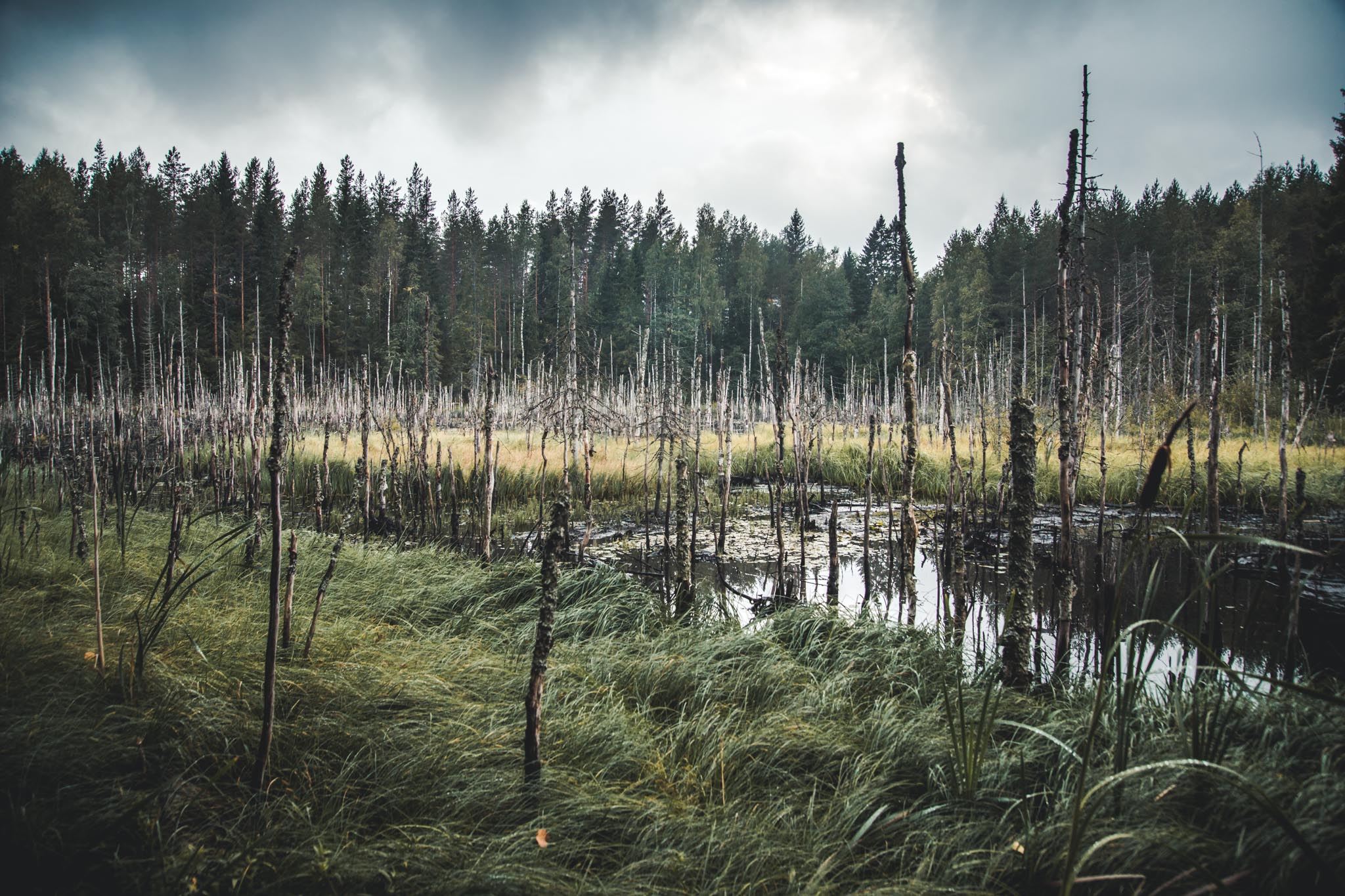
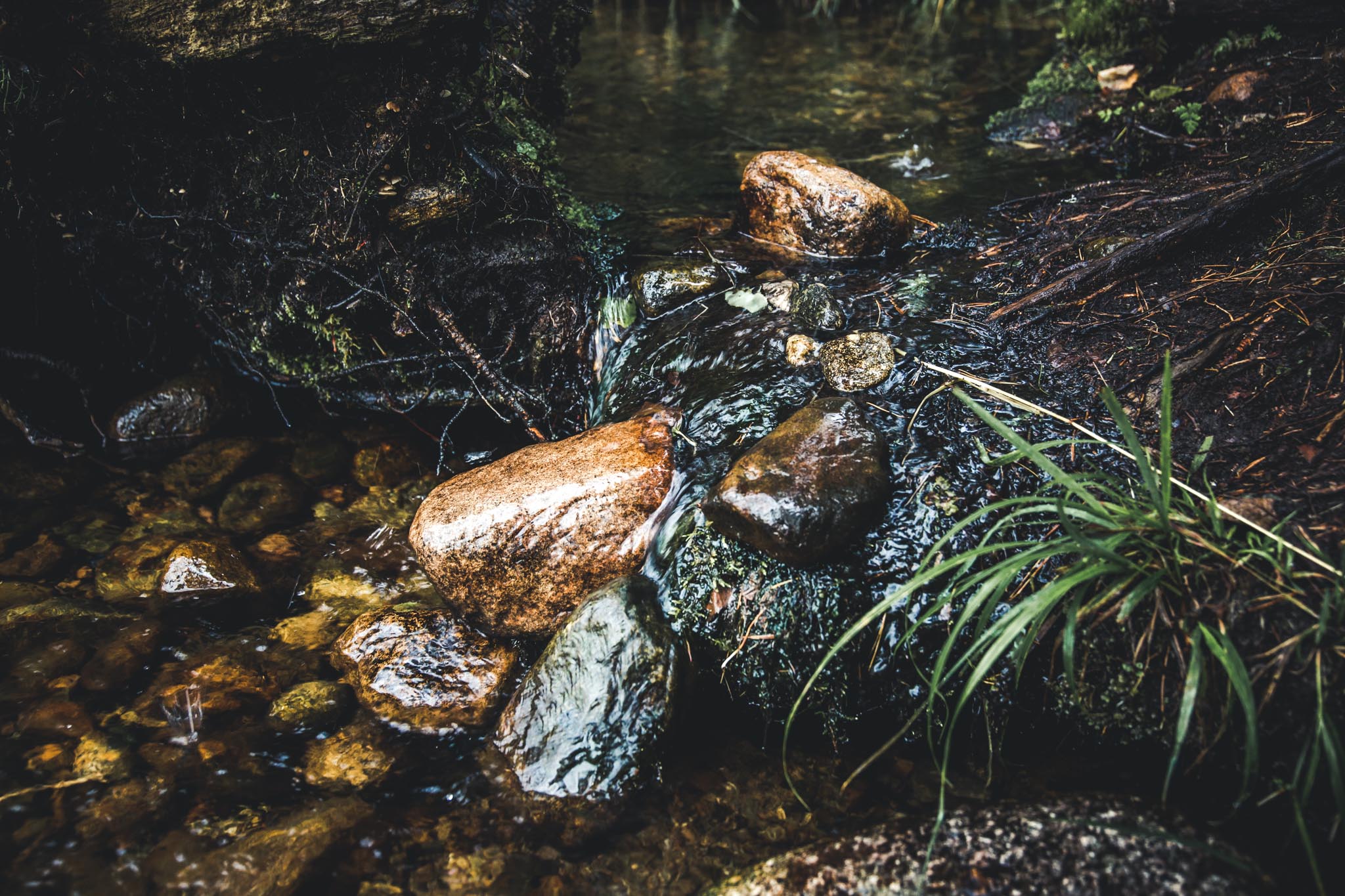
Even the creek had had enough of flowing and decided to stop. As a result, water flooded onto the trail, and saturated the land, which came as a small surprise to the trees that had managed to grow as tall as man. They had no option other than to give up.
After a few kilometers of wandering through the old-growth, we changed landscape again. Lush, spruce-dominated mixed forest made way for rugged dry terrain. The pines still stood strong, but grasses were sprouting all over the place.
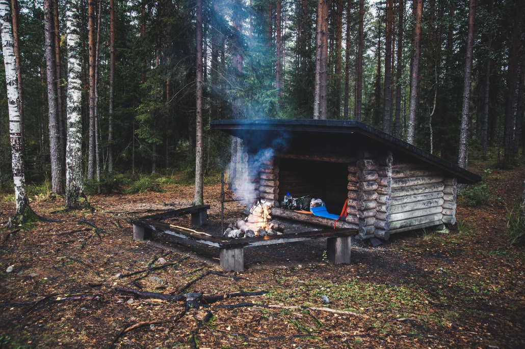
The land’s rolling form started to become predictable, but before that Syrjänalunen forest pond and the lean-to on its shores provided a moment of rest – if one wanted to take it. Behind the lean-to and the dry toilet were split logs, a wide wooden mallet and metal blade bolted to a wooden chopping block, an ingenious way to split wood. Chopping wood was so easy and fun, that our hike was in danger of being abandoned.
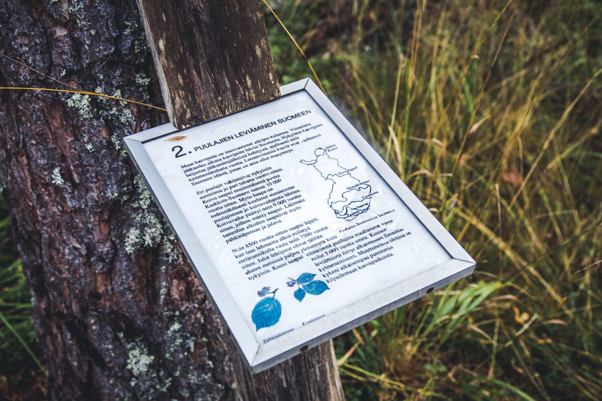
With it being the end of August, the evening was starting to approach, so we left the opportunity to enjoy a small sense of achievement for others and continued our journey. On a steep, sandy slope there was a sign about the nature conservation work that is done in the area for the endangered habitats and the species that live in them. The forest had been felled, but plenty of seedling trees had been left on the slope.
On Evo Forest Institute land, the forest is regenerated by simulating small, controlled forest fires. The earth gets nutrients from the ash, and the fire makes room for fast-growing plants that later humbly make way for the stronger ones, after nourishing the soil. But for now they’re permitted to flourish for a little while.
The path narrows and starts to twist towards the Syrjänalusenharju ridge. The forest becomes darker and pine trees make way for spruce again. The map used by the app has described the steeply rising ridge in front with two elevation contours, which is quite modest, as this land formation created by the ice-age rises to 170 meters above sea level. The whole of the Evo area is located higher than its surroundings, making it a watershed, but the climb from the bottom to the top of the hill still looks about 80 meters.
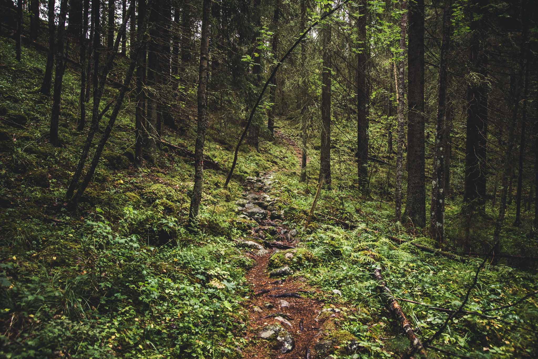
The top of the ridge is probably the narrowest I’ve seen. The slope descends steeply on both sides and the hiker needs to keep his wits about him for about a kilometre.
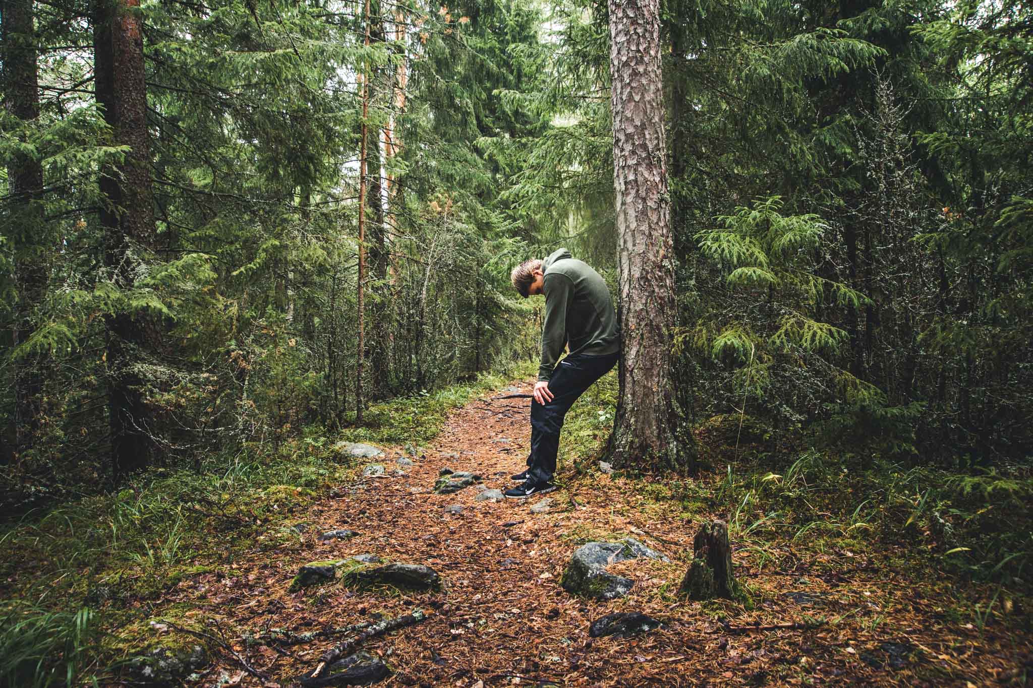
The theme of the route is forest yoga, and stretching instructions appear on the phone display while up on the ridge. I try them out because the spot was worth stopping at. My dad sits on a rock, one of many which feel as though they have been placed alongside the path for exactly that reason. He already knew what Evo had to offer, but I was not prepared for such a fantastic views. Time just stopped…
… But the sun was continuing to set, so we continued on our journey. We descended the steep slope, sometimes holding onto the trees for support, and ended up in the armpit of the ridge, in the lush and rocky grove of Hautjärvi lake.

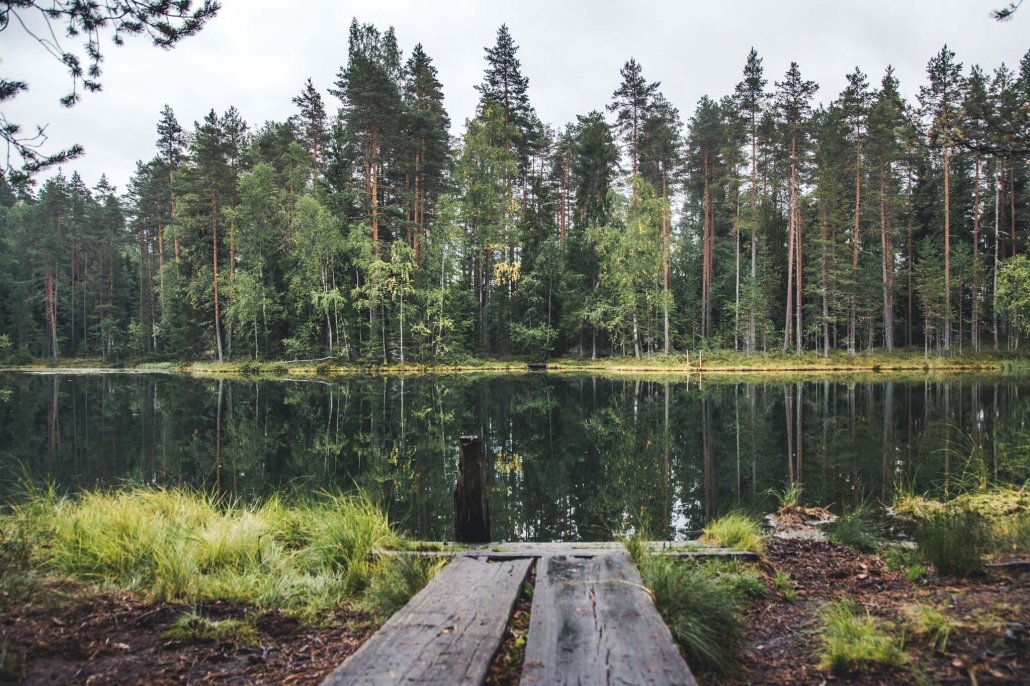
Expectations were high after everything we had seen up on the ridge, so after surviving the dense grove, we were glad to come across the exceptionally beautiful swamp scenery of Karvalampi. Duckboards varied in width from one to three, and some were in good condition whilst others were partly submerged. Long grasses reached over the boards and sometimes over the walker. Despite the dry summer, there was water on the surface and it was clear! Rarely does the swamp come so close!
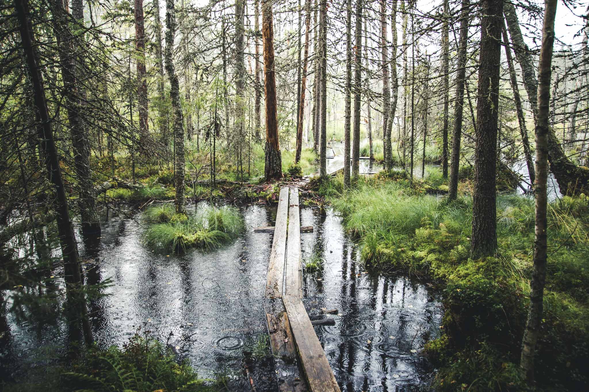
The clarity is because Karvalampi swamp’s source is a spring. On the swamp’s south eastern edge, water breaks through to the surface from the side of the ridge. Water is drinkable and keeps cool throughout the summer.
And again the landscape changed. This time, we wove through kettle-hole terrain. The birth of the kettle-holes is as fascinating an ice age story as the birth of the ridge. For a long time trolls and spirits were suspected as being the culprits responsible, but these traces were actually caused by blocks of ice left buried under the sand.
Finally it was downhill to Evo Forest Institute. At times the route went along a forest truck road lined with plentiful long grass and thick aspens, and other times along a narrow path through the spruce forest. Tall spruces show an example to the younger ones, standing snags tell their own story and the huge cypresses on the edge of the clearcut area look lost, but stand firm and resolute.
You can download the app here.
*DigiTrail is a mobile application that works in nature like a navigator and thus lowers the threshold to explore nature areas. The application guides the traveller in the woods, shows nearby services and attractions. In addition, it provides interesting information, for example, about the history of the region and can be used to activate its users with different themes, such as forest related sports and cultural content. Read more>>
Article: Heli Heikkilä
Photos: Tomi Pohja
Translation from Finnish: Becky Hastings

Related Content


Leave a Reply
Want to join the discussion?Feel free to contribute!