
Värikallio Loop: A Rock Painting Hike in Hossa National Park
The sky was grey and the air rich with oxygen when my husband, our friend, and I set out on a weekday in July to walk the Värikallio Loop trail in Hossa National Park, in Suomussalmi, Kainuu. The forecast promised heavy rain all day, but we’d decided in advance not to let it ruin the trip, since it had been years since we’d last been to our beloved Hossa. Luckily, the sky only partly delivered on the meteorologists’ threats: the rain barely even drizzled.
To reach the trail, we drove to the end of a long, narrow, pothole-riddled gravel road to the Lihapyörre parking area. There was only one car already there – a promisingly quiet start!
Värikallio Loop
- Loop trail 8 km
- Starting point: Lihapyörre parking area
- Arriving by car: at the end of the road branching north off Pistonlehdontie, follow the signs
- Arriving by public transport: not possible
- Map
- Campfire site: two lean-to shelters and a cooking shelter
- Accessible: only the first 200 m, to the Lihapyörre lean-to shelter
From Lihapyörre into the arms of the forest
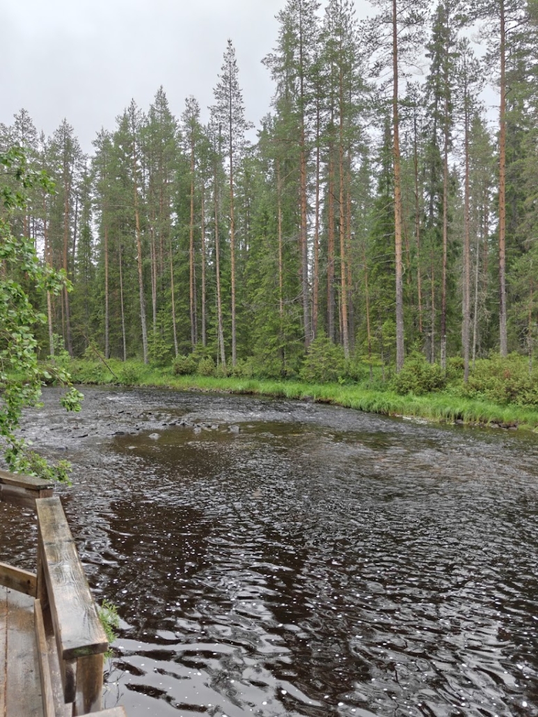
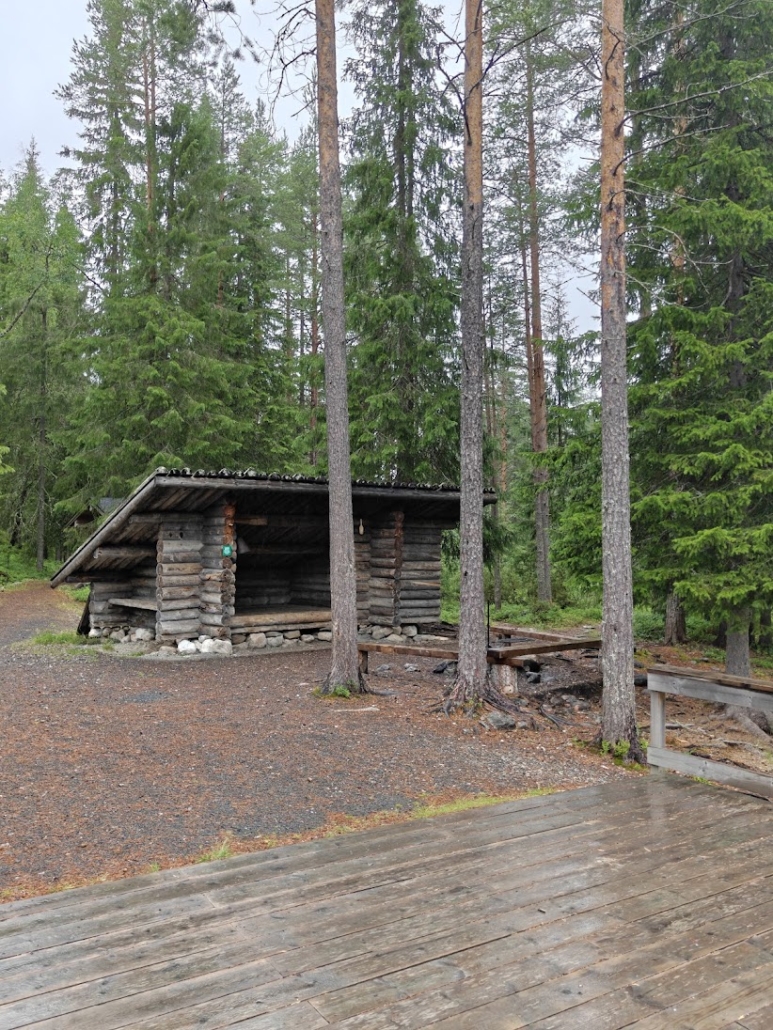
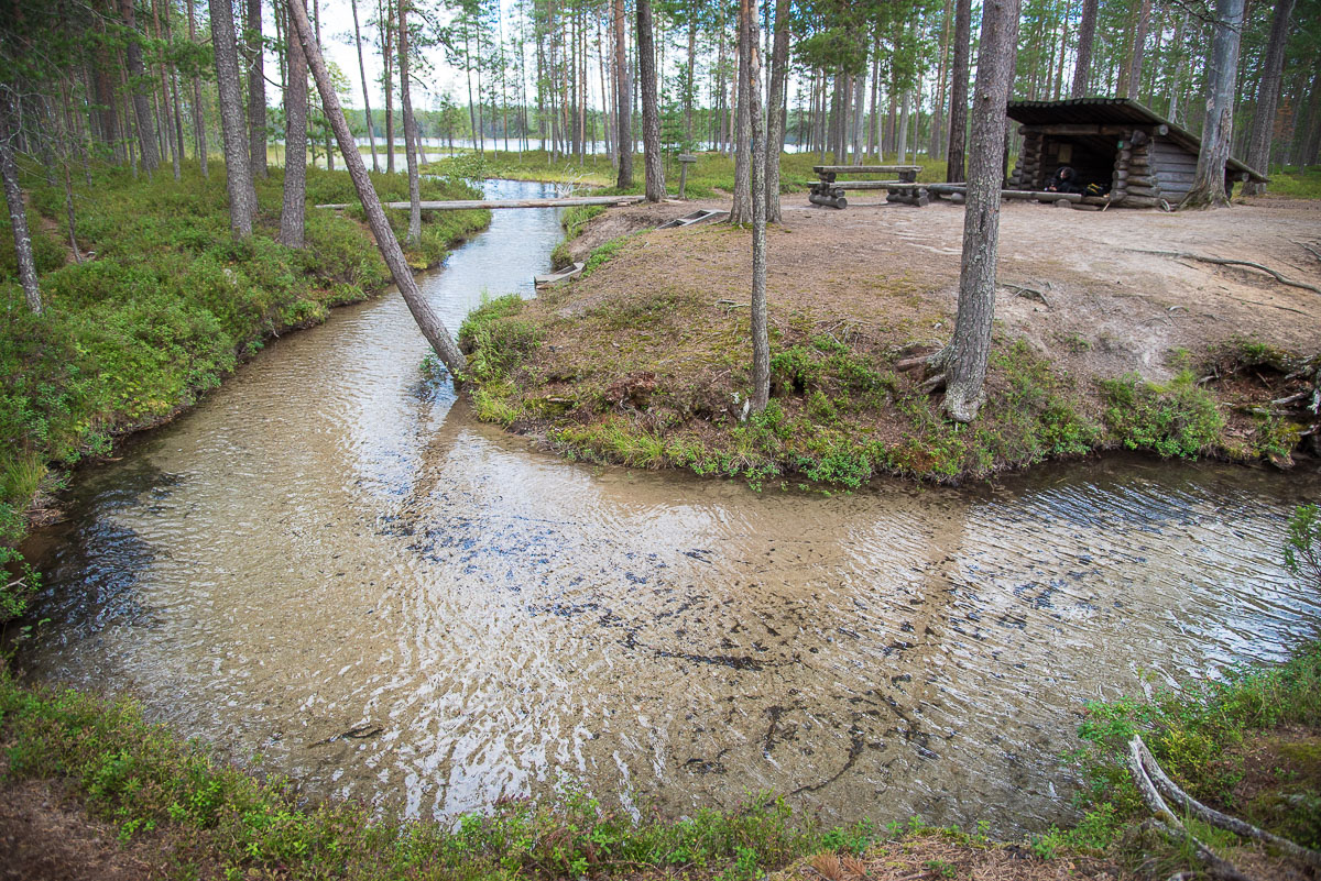
We set off to walk the loop counterclockwise. After just a couple hundred meters we reached Lihapyörre (literally ‘meat whirlpool‘ in Finnish), up to which point the trail is fully accessible. Lihapyörre is a spot on the Somerjoki river where the current swirls cool enough that, apparently at least back in the 1800s, it was used to keep meat fresh – hence the odd name, which to my vegan ears sounds a bit off-putting! Name aside, the spot was beautiful, and the untouched wilderness feeling that hangs over all of Hossa was already strongly present here too. There’s a lean-to shelter on the shore and a terrace-like viewing spot on the riverbank.
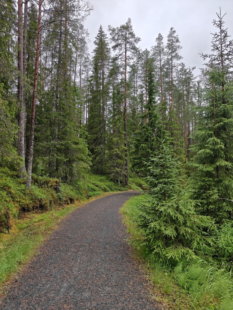
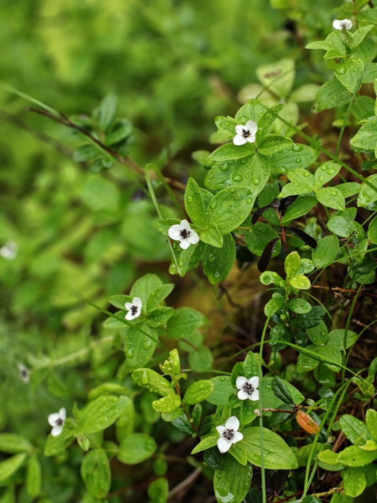
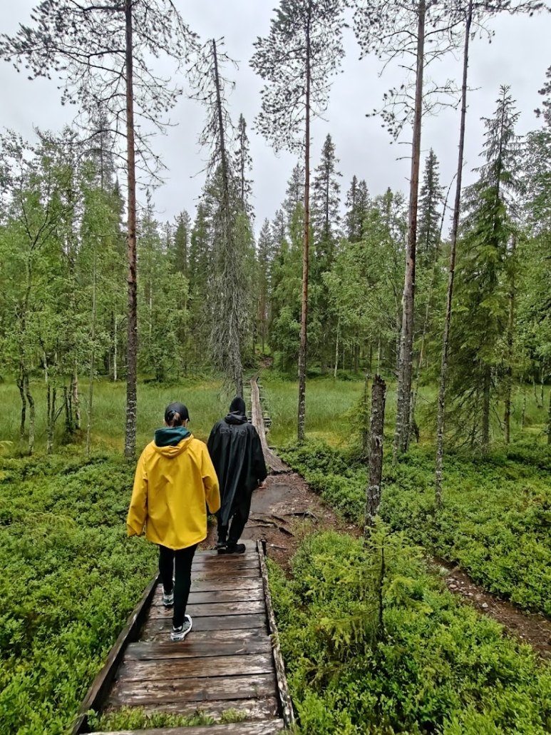
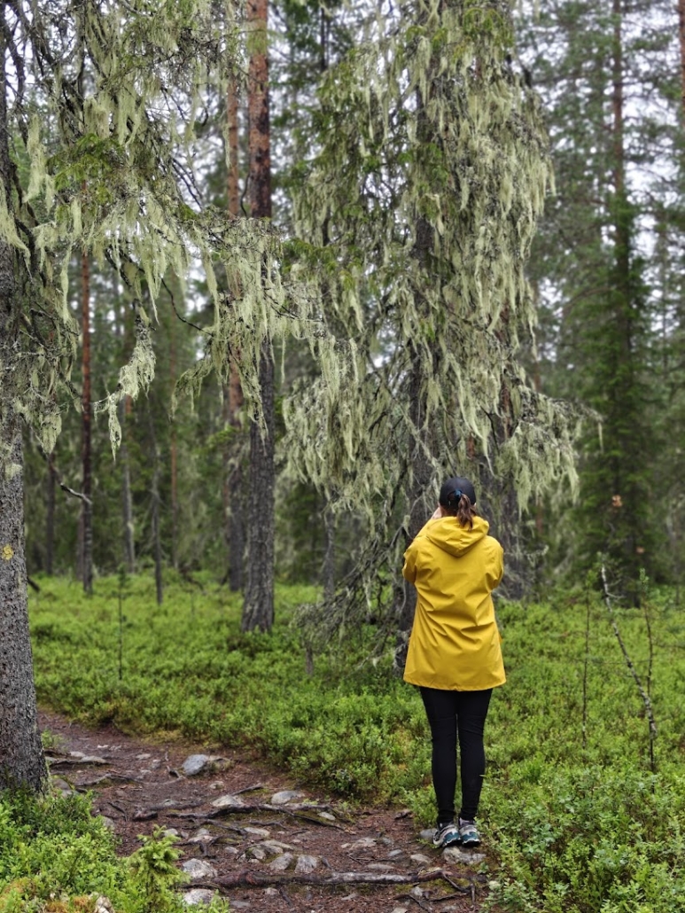
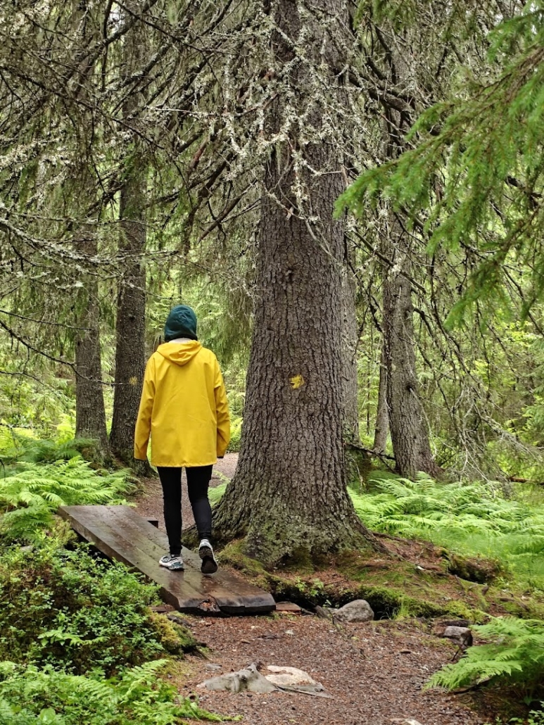
Here the trail’s accessible stretch ended, and the path turned into a steep climb straight into the depths of the forest. We hadn’t seen our friend who was with us in a long while, so as the typical northern Finnish forest trek began, we got absorbed in catching up. Still, we noticed plenty around us: spruces thick with hanging lichen, the black-and-white flowers of dwarf cornel, and lush, lovely pink carpets of twinflower low on the ground. There were some mosquitoes, but they didn’t bother us as long as we kept at least somewhat on the move. The terrain was hilly and the path rocky in places, root-tangled in others. For a long stretch the trail follows the course of the Somerjoki river, even though the river itself isn’t visible from the path.
Ala-Ölkky lean-to shelter
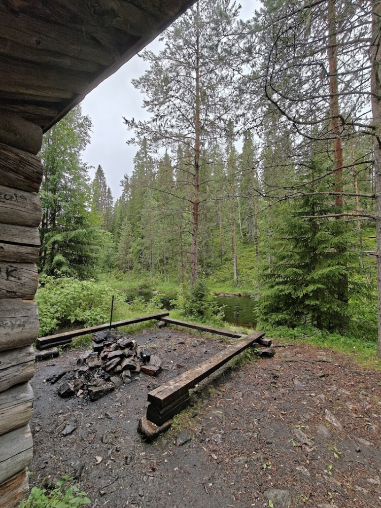
Our next stop was the Ala-Ölkky lean-to shelter, also empty. Water flowed past it beautifully and calmingly, and I realized we were right at the border with Kuusamo, and so with the neighboring region as well. We reminisced about a boat trip we’d once taken together to the Julma-Ölkky gorge lake, which from here wasn’t far off anymore.
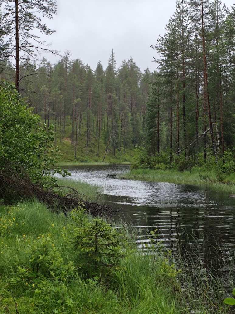
By this point my morning coffee was demanding its due, and luckily a tidy log-built outhouse peeked out from behind the trees. I had paper in my own pocket – there wasn’t any in the outhouse.
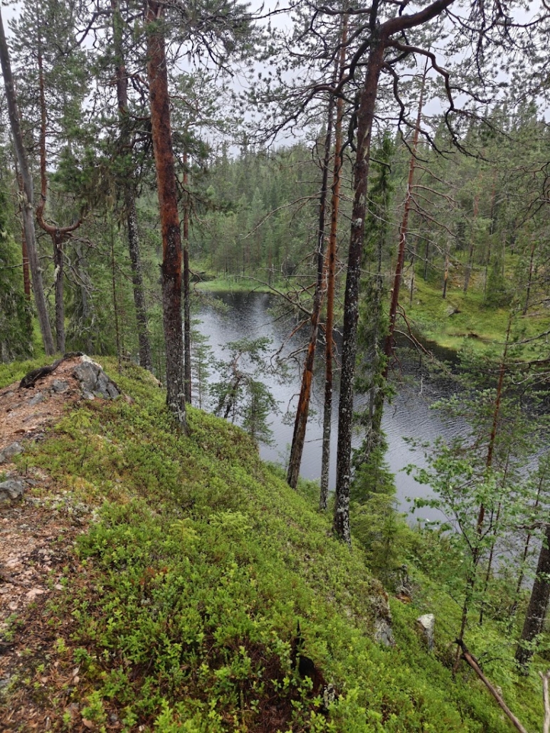
The route continued along a high ridge, opening up views down to the water flowing below and its wild, in places rocky, shores. The slope was intimidatingly steep and the drop high, so we didn’t feel much like leaning over the edge to look. Curving past a round tarn, we arrived at the large cooking shelter at Värikallio.
Värikallio
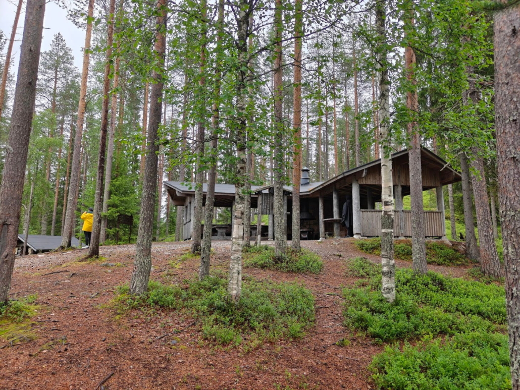
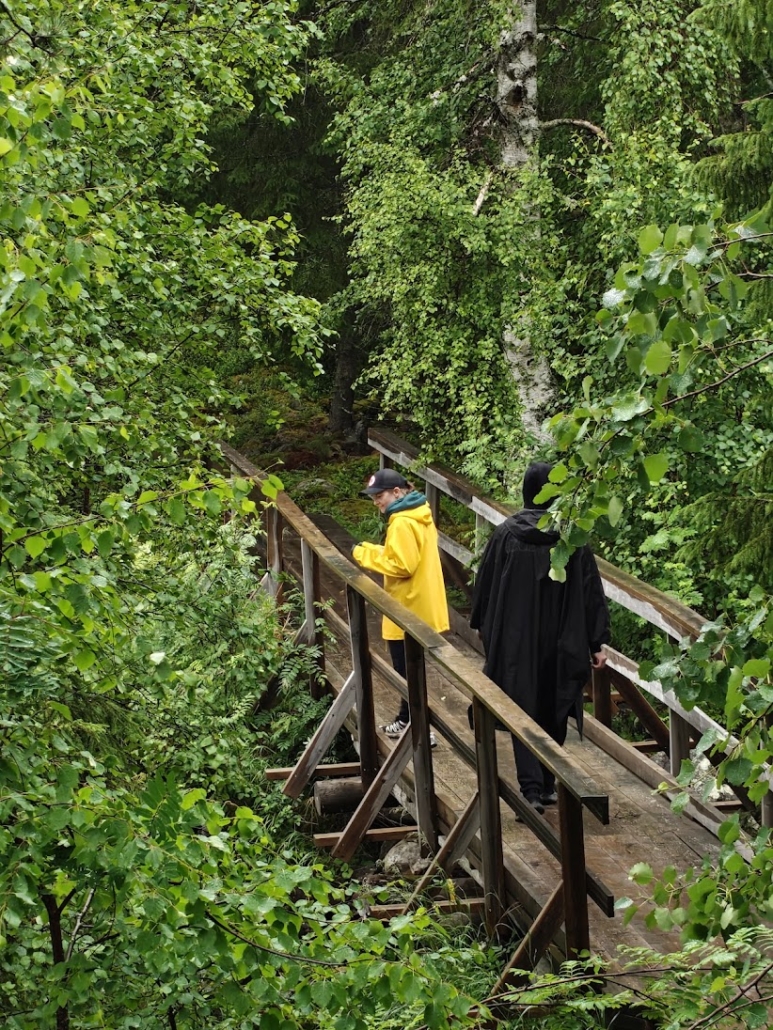
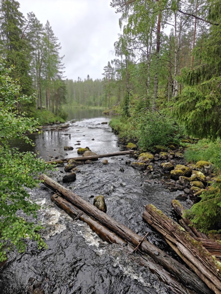
From the cooking shelter, a spur trail branched off toward the rock paintings themselves, about 300 meters away. We crossed the river on a wooden footbridge and took our time admiring the views on both sides. Below us, the dark current rushed sweetly, and there was nothing else in the soundscape at all.
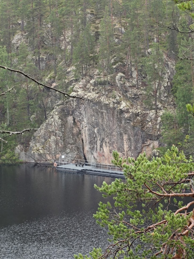
After a short stretch of forest, a metal walkway built out over the water led us to the rock face where the paintings were waiting.
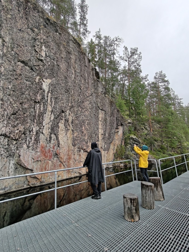
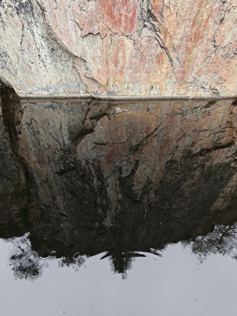
I mentioned out loud that there was supposed to be a horned figure among the paintings, and my husband spotted it right away. Many of the other figures were also easy to make out: animals and humanlike beings. I haven’t seen many rock paintings in my life, but from what I understand they’re often quite worn and hard to decipher. In that sense this was a pleasant surprise – even a layperson could easily pick out many of the figures. What, I wondered, was hidden within those large, smudgy red patches?
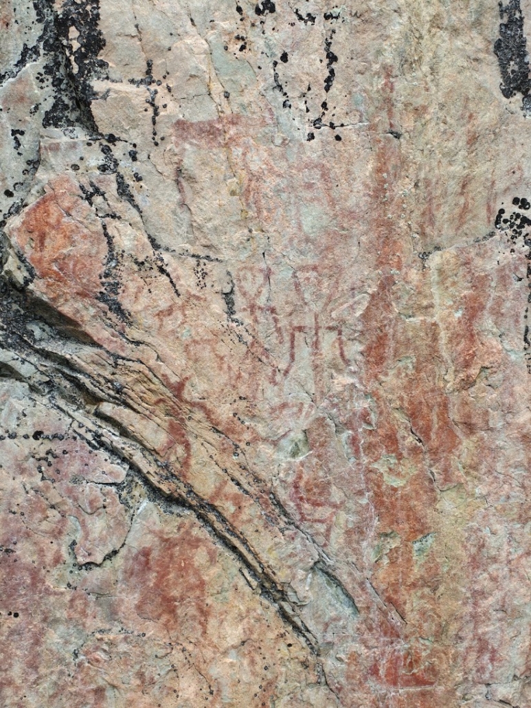
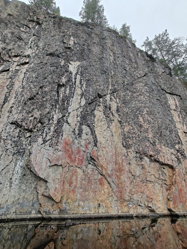
We looked at the paintings for a while and listened to fat waterdrops dripping from the trees and sky onto the lake’s still surface. The atmosphere was ancient, almost magical, especially once we learned that the horned human figure is thought to depict a shaman in ceremonial dress. The paintings are 3,500–4,500 years old, and they’re the northernmost known rock paintings in Finland.
A bit lost, then the climb to the viewpoint
We headed back to the cooking shelter, and at that point got a little turned around. We hadn’t noticed that the loop trail continued past the shelter, following the shoreline onward. After a bit of wandering and a phone-assisted map check, we found the right route again, and soon the trail markers too.
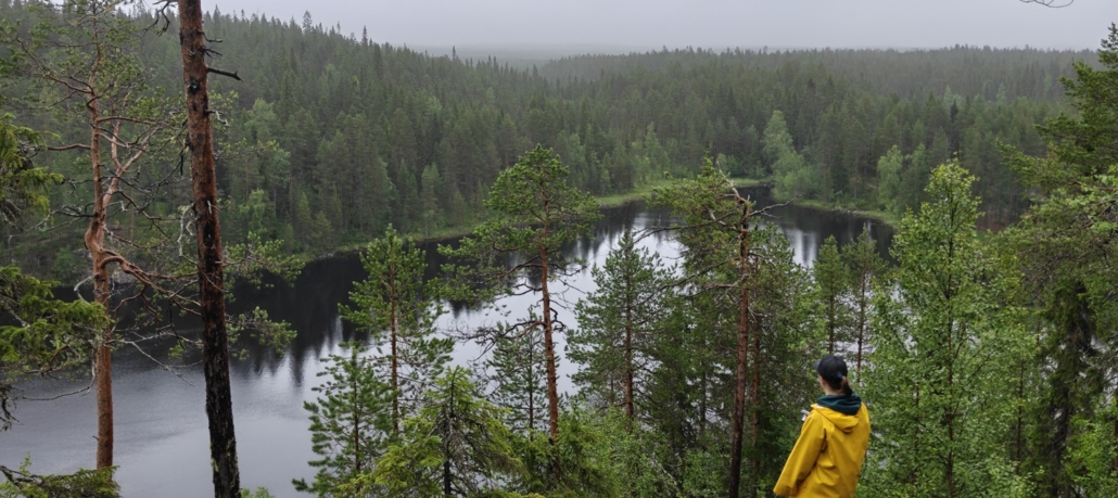
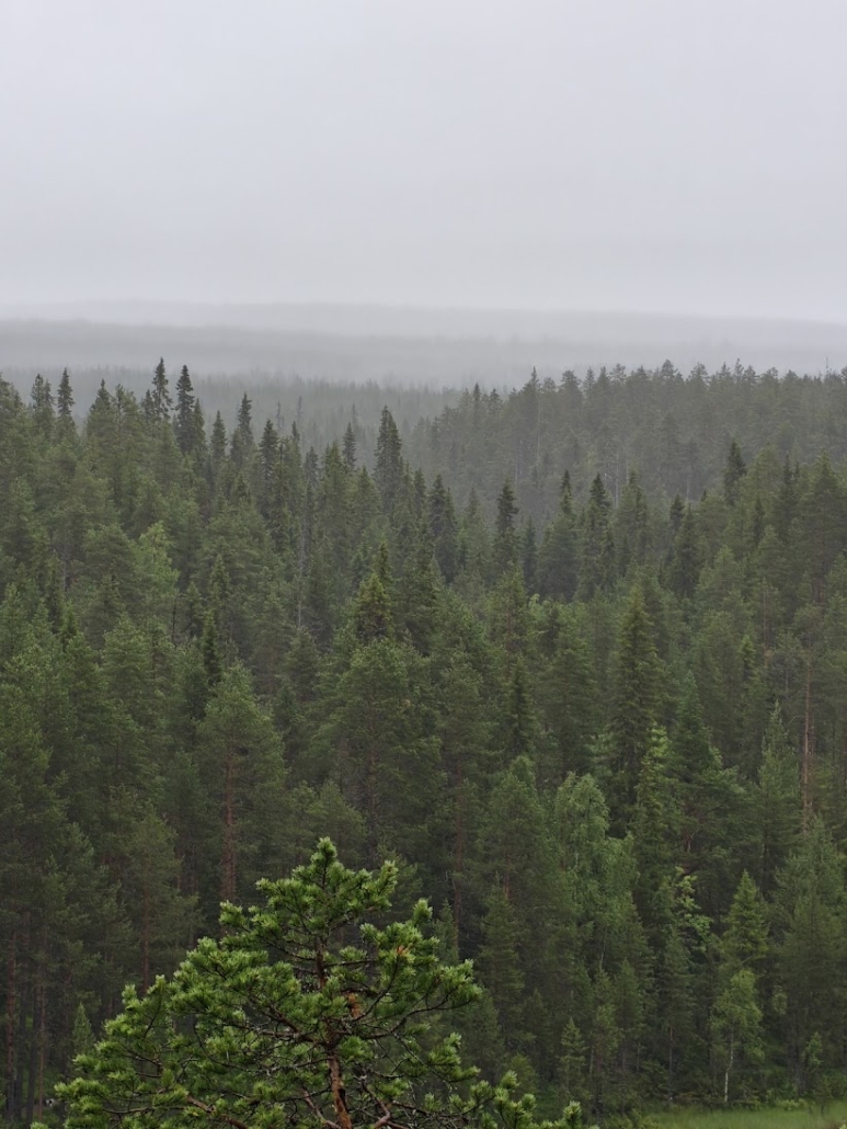
Ahead lay a long, high stairway leading upward, and we worked up a proper sweat. At the top of the stairs, a signpost pointed to yet another side trail: a 300-meter spur to a viewpoint. This came as a surprise to me! We decided that, having come this far, we might as well go see that too. The path was narrow and small, but the vegetation at the viewpoint itself was clearly worn down by countless footsteps. The view was stunning: Lake Somer opened up amid the forests, and Värikallio, with its viewing platform, stood out clearly too, seen from farther away and higher up.
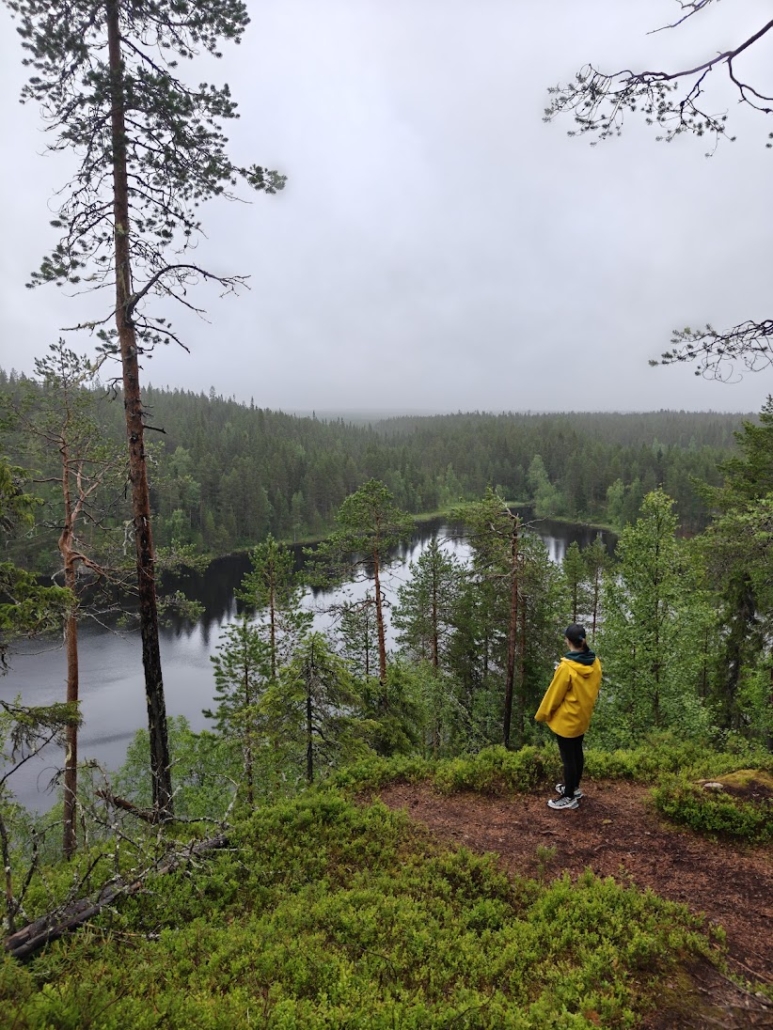
From here on, the trail turned into a fairly monotonous, wide forest path all the way back to the parking lot. Just then, that suited us perfectly: after the morning coffee we were properly hungry, and we were happy to hustle back to the car and the cabin to make lunch. In the end the rain never really picked up, and we made it through the whole hike without getting wet.
Who I’d recommend this to
I’m glad I got to experience this trail, and Värikallio itself in particular. Originally I’d dreamed of spending most of this Hossa trip snorkeling in the water, but the weather (and a bit of everything else) got in the way, leaving more time for hiking instead. If the sun always shone whenever I was in Hossa, I’d spend all my time in the water.
If you’re heading to Hossa for the first time and the rock paintings aren’t your absolute top priority, I’d instead recommend a route that stays closer to the clear waterside – for example the Laukkujärvi loop, or the Kokalmus loop. If your group is after something shorter and easier, I’d absolutely recommend Muikkupuro (which, honestly, I’d recommend to just about anyone, regardless of the situation).
But if your soul craves lichen-bearded forest, your step is nimble, a lack of open water doesn’t bother you, and Värikallio’s ancient allure is calling – this loop is exactly right for you.
Read also
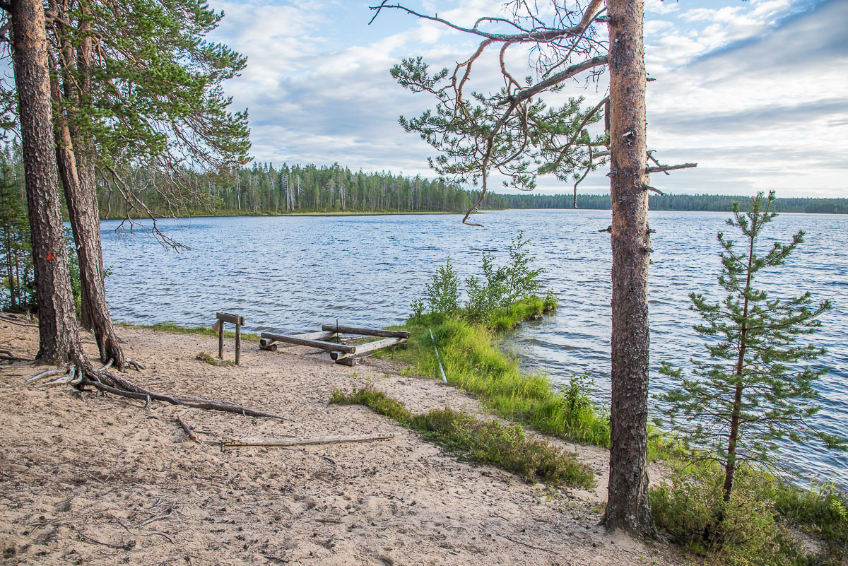
A glimpse of magic in the heart of Hossa: the Hossa Nature Trail
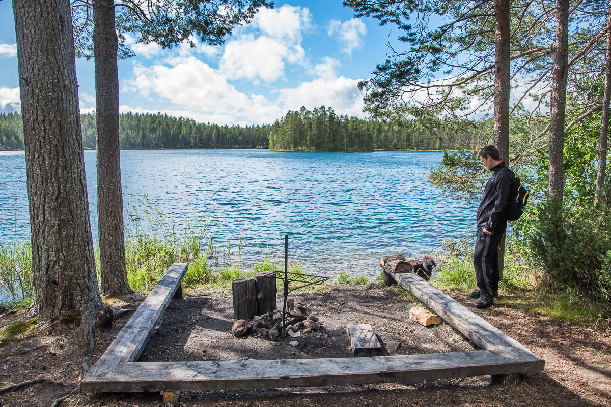
Julma Ölkky’s rugged ring route, Ölökyn Ähkäsy
Related Content




Leave a Reply
Want to join the discussion?Feel free to contribute!