
Autumn at Vanhalinna: Stone Age History Just Outside Turku
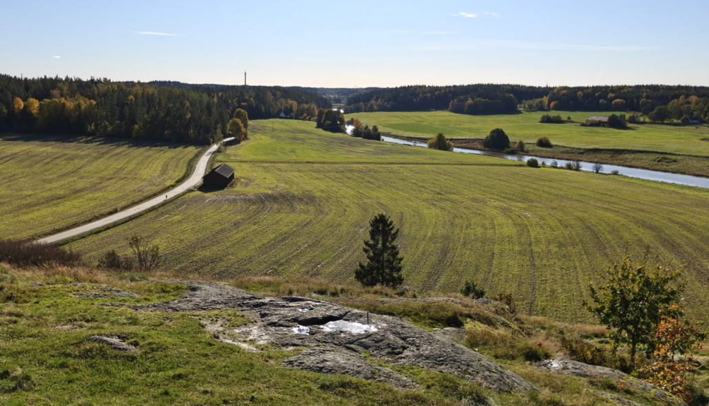
Just a short drive from Turku, a tall rock called Vanhalinna (‘Old Castle’) rises on the banks of the Aurajoki river amid rural scenery. Its grey, stony surface is a striking sight in the middle of the fields. This is one of the most significant ancient hillforts in Finland, and it is well worth climbing to the top to admire the countryside views.
Vanhalinna Hillfort, Lieto
- Location on the map
- Trails: A few kilometres of hiking trails on the hill and in the surrounding area
- Campfire site: No
- Accessible: No
- Arriving by car: The address of Vanhalinna Manor and museum at the foot of the hillfort is Vanha Härkätie 111. Signposted parking is available in the museum yard and along Vanha Härkätie road, just past the manor grounds.
- Arriving by public transport: The nearest stop is Vanhalinnanmäki (Föli bus line 6), about a 15-minute walk from the site.
A new episode in our series “Places I Should Visit Someday“. After years of putting it off, a beautiful autumn Sunday came along just as I had other business in Turku, so I decided the time had come. We turned off Turku’s big, busy ring road towards Hämeenlinna and Forssa, and within a couple of minutes we were on a quiet gravel road surrounded by countryside.
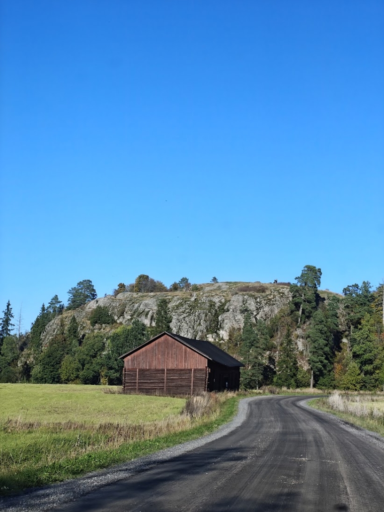
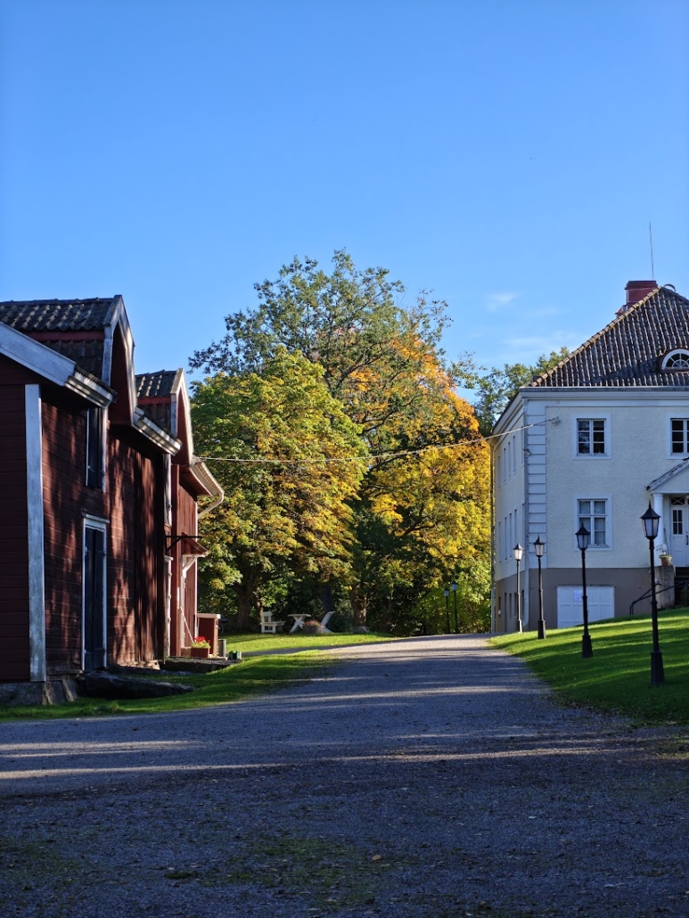
From the viewpoint of the photo above, the road runs alongside the hillfort to its far side. That is where you’ll find Vanhalinna Manor and museum, plenty of parking and lovely old buildings. It felt good to see the car parks almost empty. It would be easy to find some peace and quiet here, even though we were so close to one of Finland’s largest cities. The museum was unusually closed, which may also have kept the area calm in the middle of a sunny autumn day.
We left the car and set off to climb towards the summit. The start of the path was easy to find, as the gate was rather eye-catching.
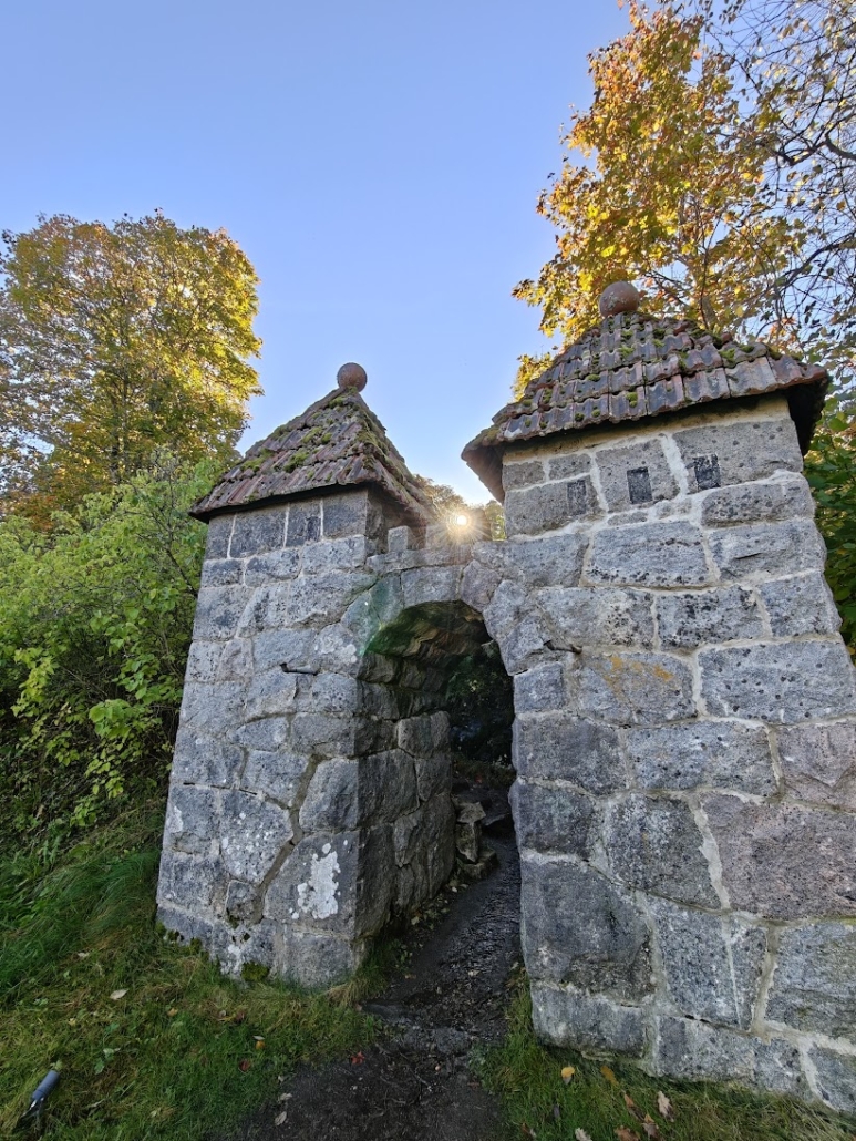
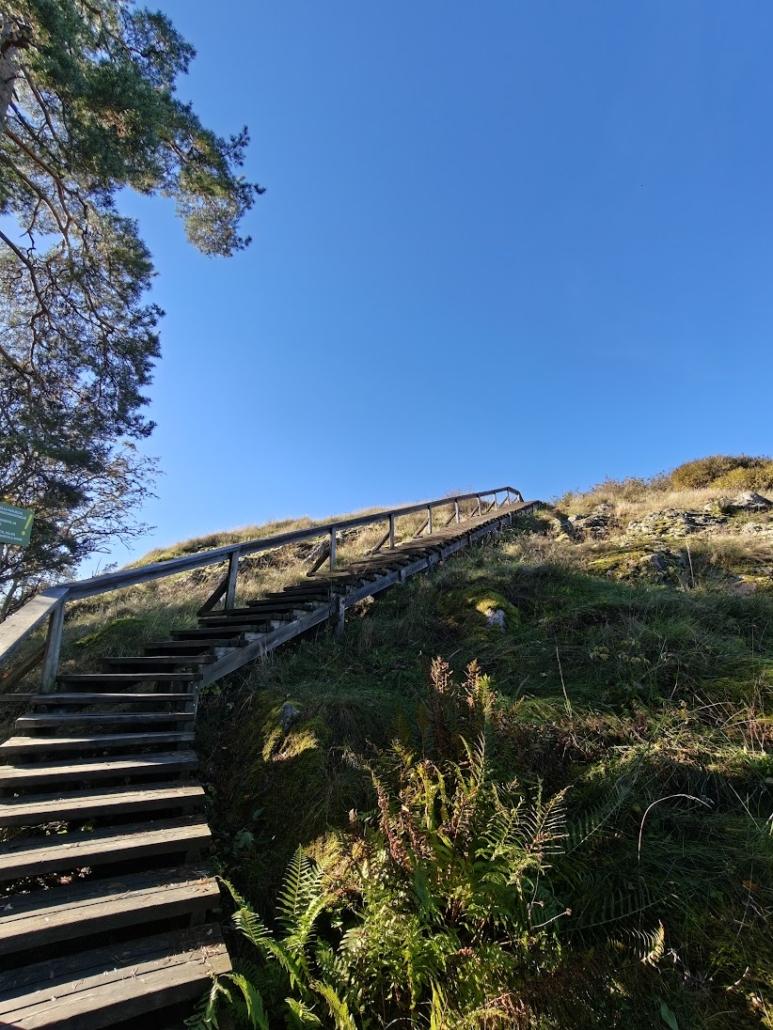
It had rained for about three days and the ground was wet. Water was even running towards us from the gate along the muddy ground. After the dirt path came wooden steps, which were a little slippery with moisture and fallen leaves.
I couldn’t find the length of the route anywhere, but I would estimate it’s about a hundred metres from the gate to the top of the hillfort. Along the way, a couple of signs marked where the sea level was thousands of years ago. Around 7,000 years ago, the hill was little more than a rocky islet with its crown peeking out of the sea. Vanhalinna has been in use since the Stone Age, ever since it was still an island in the sea. It served as a fortification until the 14th century.
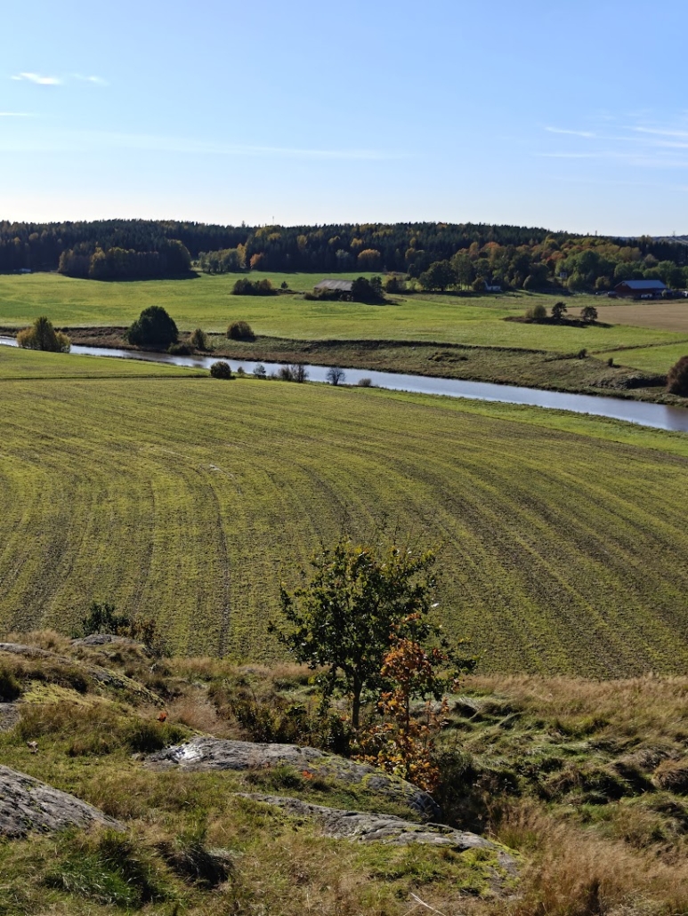
From the summit you can see how the sea has retreated over the ages as the land has risen. What remains are wooded hills and low-lying land that is farmed today. Through the middle of it all flows the Aurajoki river, which is surprisingly narrow even this close to the sea. From Vanhalinna, it’s only 11 kilometres along the river to the Port of Turku. I reminded myself that the landscape we were looking at, the Aurajoki river valley, is also one of Finland’s official national landscapes.
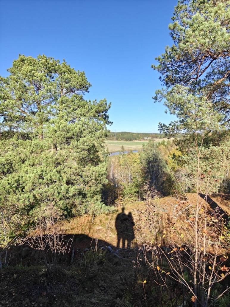
We stood for a while on the rocky summit and let the mild autumn breeze refresh our minds. Tufts of grass grew on the bare rock, and puddles glistened here and there. On the horizon we spotted the Pääskyvuori radio link tower and, we believe, the tall structures of the Turku shipyard.
According to the Aurajoki Foundation’s website, Vanhalinna is one of the most important prehistoric hillforts in all of Finland. The hill, about 50 metres high, rises at the junction of two important routes, the Aurajoki river and the Härkätie road. People have travelled through the area for a very long time, as shown by the many archaeophytes, plants brought here by humans in ancient times, that grow in the area, such as lady’s bedstraw.
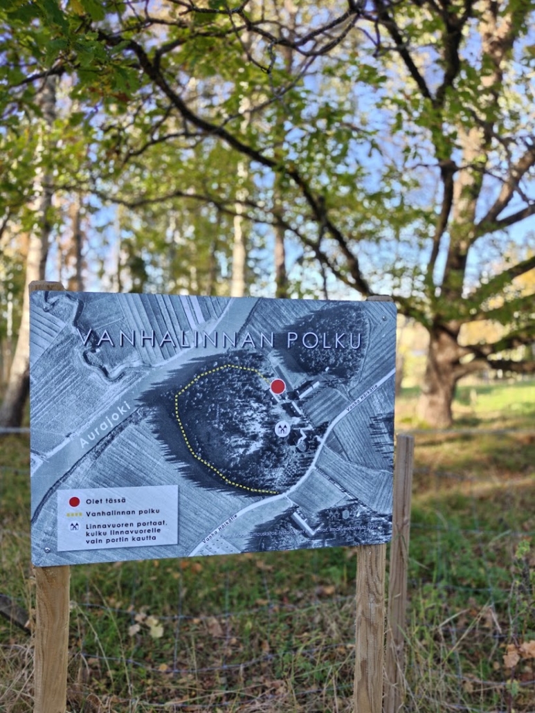
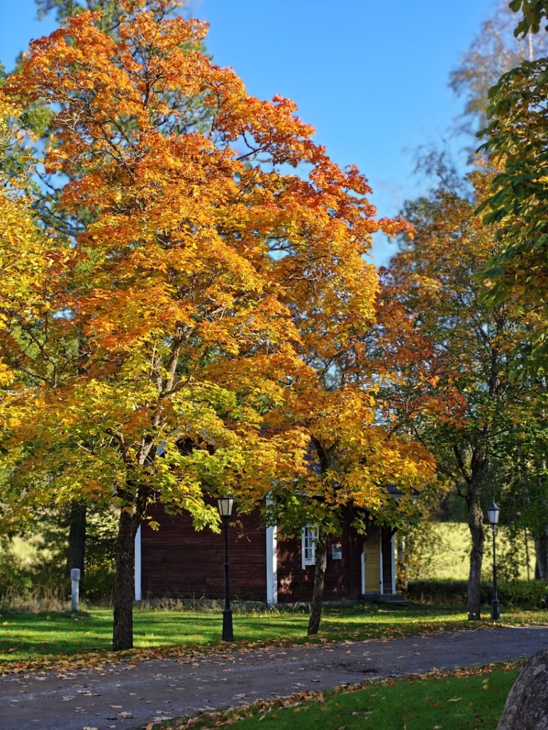
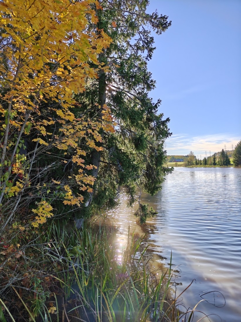
We walked back down the steps and admired the autumn colours in the manor grounds. An information board at the edge of the yard pointed out that there is also a path running along the foot of the hill. So we headed off between the sheep pasture and the hillfort towards the banks of the Aurajoki river. Closest to the river was a boardwalk that had seen better days, and we walked it with great care, as the planks were very slippery. From a jetty next to a riverside sauna, which presumably belongs to the manor, there was a beautiful view of the river. I also noticed canoe landings a short distance away, so you could arrive here by paddling as well.
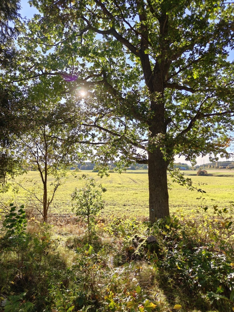
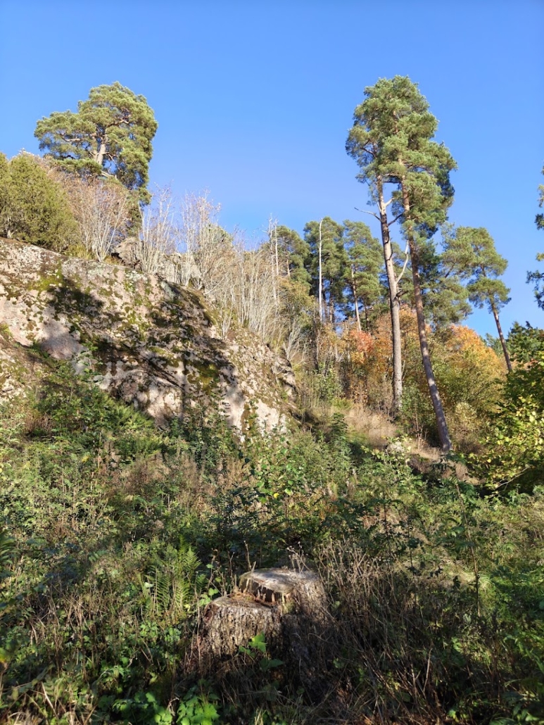
The path around the hillfort is a few hundred metres long. Acorns rained down from the oaks as if someone were throwing them. Beneath the canopy there was a serene view of the fields, while beside us the rock face rose high above. Tree stumps showed that huge trees had been felled here. Perhaps the aim was to make the hill more visible?
The combination of silvery dead standing pines, autumn foliage and blue sky was a delight to the eye.
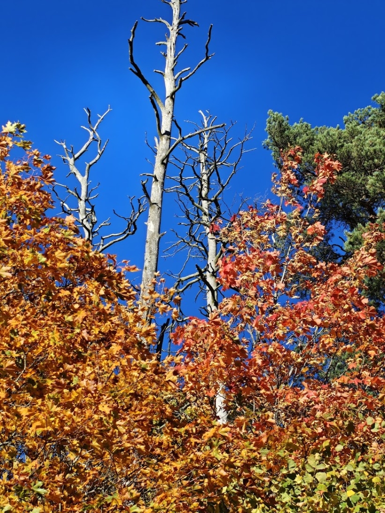
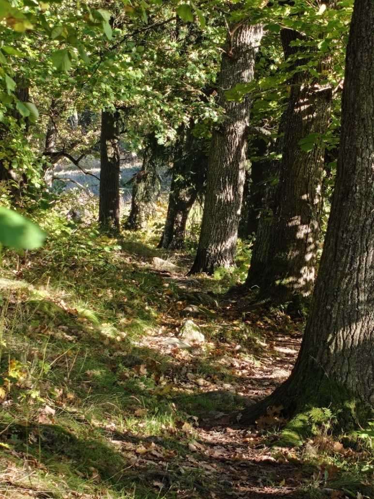
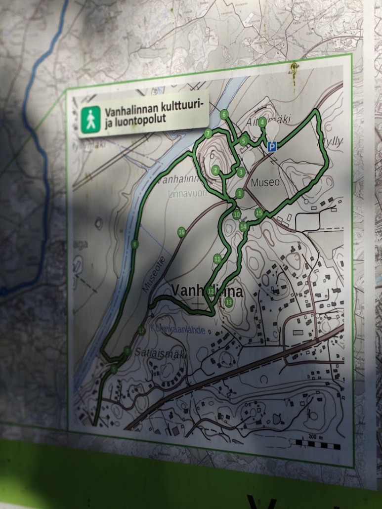
All sorts of people seemed to be hurrying along the Vanha Härkätie road: dog walkers, runners, cyclists, even a couple of hikers with big backpacks. I wondered where people hike to from here with their packs. I did find a map of the nearby trails, but perhaps longer hikes are possible from here too, or maybe they were just practising hiking and camping with a full pack.
Read next
The Best Sea View in Turku: Head to Kuuva on Ruissalo
The Savojärvi Loop: Kurjenrahka’s Most Beautiful Trail
This article has been translated from Finnish with AI.
Related Content




Leave a Reply
Want to join the discussion?Feel free to contribute!