
Hepoköngäs, Puolanka: One of Finland’s Greatest Waterfalls
In commercial cooperation with Visit Puolanka, Municipality of Puolanka, Paljakka, UVM project, co-funded by the European Union
Hepoköngäs in Puolanka, Kainuu is one of Finland’s largest waterfalls — and one of the few that is accessible to almost everyone, thanks to an accessible trail leading all the way to the falls. You can experience the waterfall from above, from the side, and from below. At the lean-to shelter by the top of the falls, you can sit and listen to the roar of water plunging 24 metres.
- Location on map
- Trail: 1.3 km marked trail (650 m each way)
- Option to add the Geological Nature Trail loop (+ 1.5 km)
- Campfire site: yes; lean-to shelter with open campfire site
- Also a woodshed and dry toilet
- Public transport: no public transport connections
- By car: Hepoköngäs car park, follow the signs from Hepokönkääntie road
- Highlights: Hepoköngäs waterfall, old-growth forest in the nature reserve, the Heinijoki river, and the lean-to shelter at the top of the falls
- Difficulty: easy
- Accessibility: demanding accessible route
- Important: Check for wildfire warnings before making a campfire at the Hepoköngäs lean-to shelter. Campfires are prohibited when a wildfire warning is in effect.
At first glance, Hepoköngäs in Puolanka might seem like a quick stop. The car park is just 300 metres from one of Finland’s largest free-flowing waterfalls. But once you start walking towards the falls, the growing roar takes hold of you. Before you know it, you’ve spent hours watching, listening, and taking it all in.
That’s exactly what happened to me. I had visited Hepoköngäs in my twenties, but I remember it being a brief stop. Back then, there were virtually no hiking facilities in the area. In 2016, the surroundings were thoroughly redeveloped — both to protect the nature reserve from erosion and to make the site accessible to all visitors. Today, Hepoköngäs can be explored along a trail classified as a demanding accessible route. The “demanding” rating comes from the descent from the top of the falls to the lower viewing platform, and the corresponding climb on the way back.
I arrive at the Hepoköngäs car park in the early afternoon, having just been walking in the nearby Pyssykulju area. It’s been a while since breakfast, and my stomach is rumbling. Standing in the car park, it’s hard to believe that a waterfall of impressive proportions by Finnish standards lies just steps away. The air is still, and it’s nearly quiet. An ageing, slightly boggy forest greets me, and a wide, well-surfaced path heads off to the south.
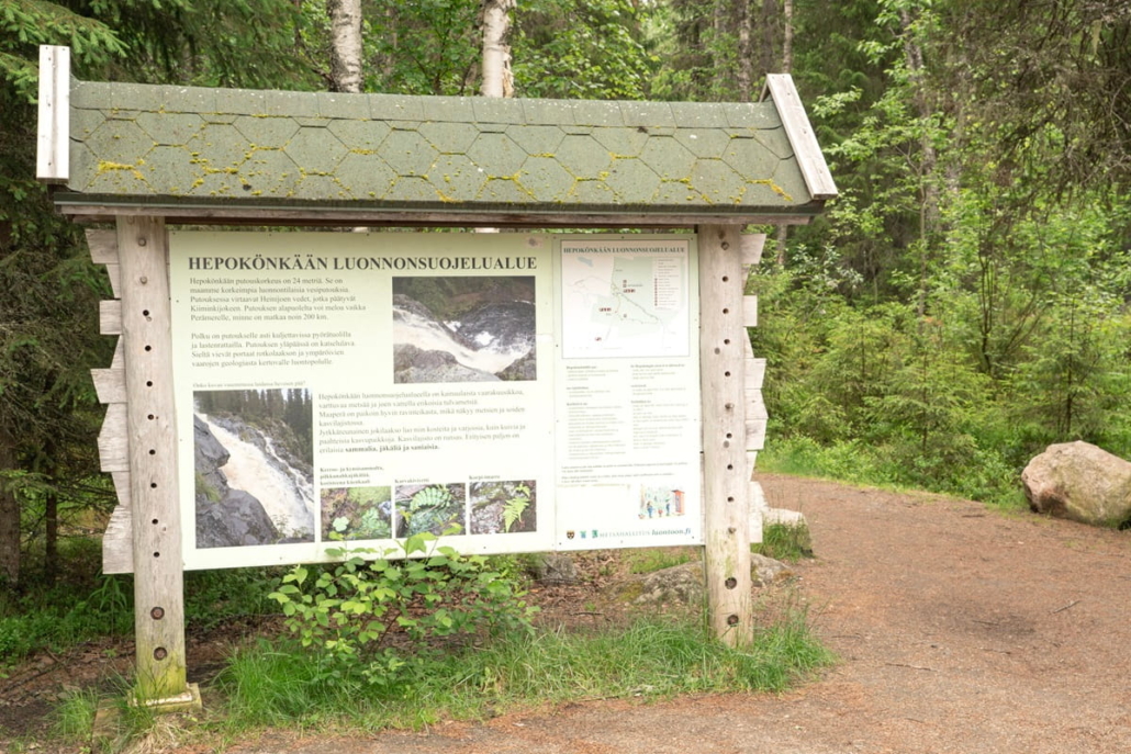
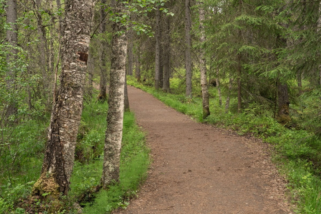
I’ve walked no more than a hundred metres when a low rumble reaches my ears — at first faint, then growing steadily louder, sending a tingle down my spine. The anticipation builds, and I notice myself picking up the pace.
A few minutes later, the back wall of the lean-to shelter at the top of the falls comes into view. In front of it flows the dark Heinijoki river, its banks dotted with midsummer meadow flowers in bloom.
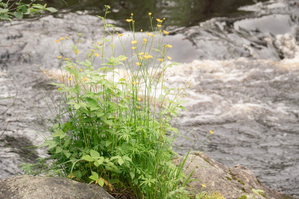
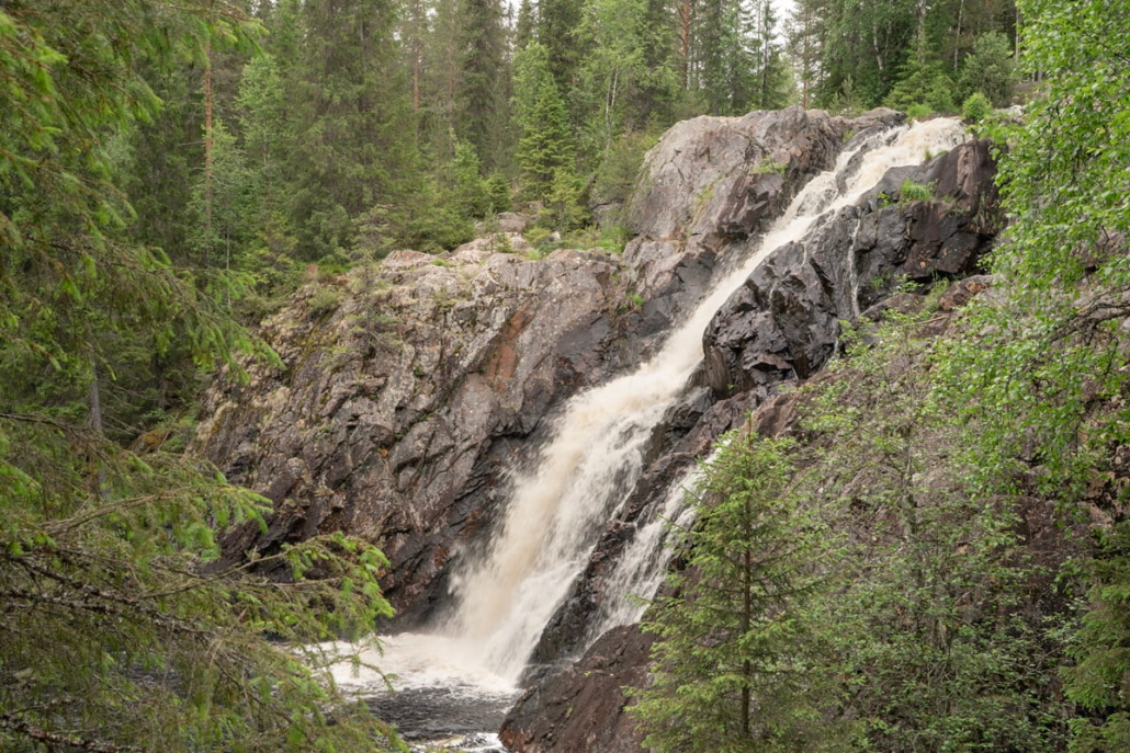
The dark river seems to end abruptly, as if cut with a knife. I continue onto the viewing platform right beside the water, where I get a front-row view of the moment the smooth, dark current turns to white churning foam — and finally plunges some twenty metres down into a calm pool at the bend in the river below, accompanied by a magnificent roar.
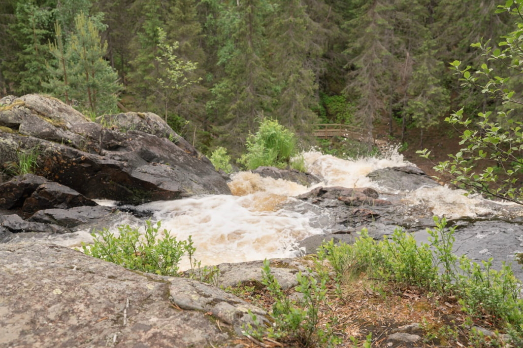
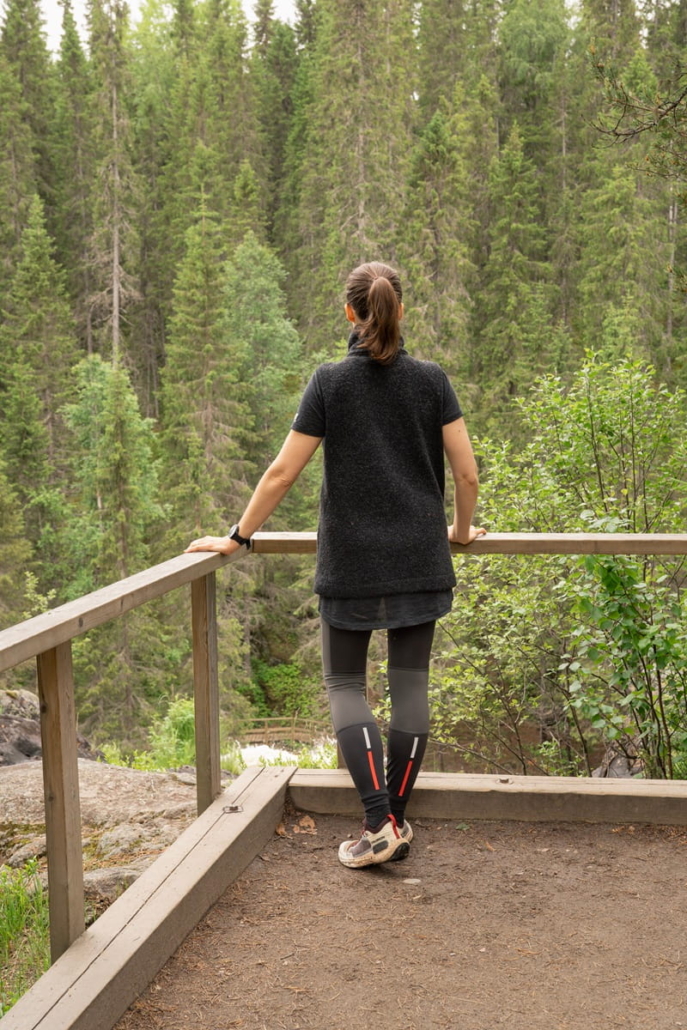
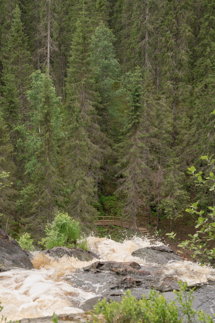
I admire the falls from above for a good while. I also notice the old, dark spruce forest opening up below. My company at the viewpoint keeps changing: others have found their way to Hepoköngäs during midsummer week too.
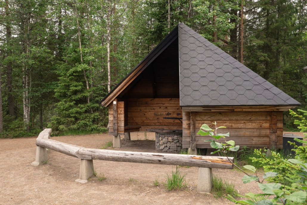
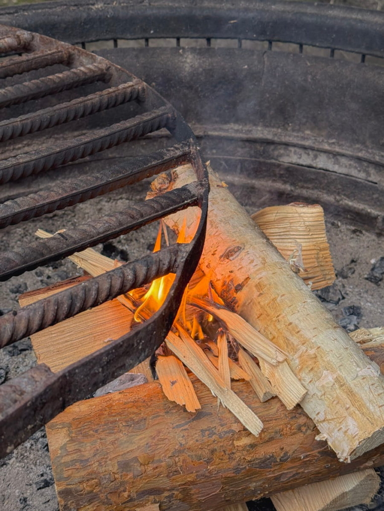
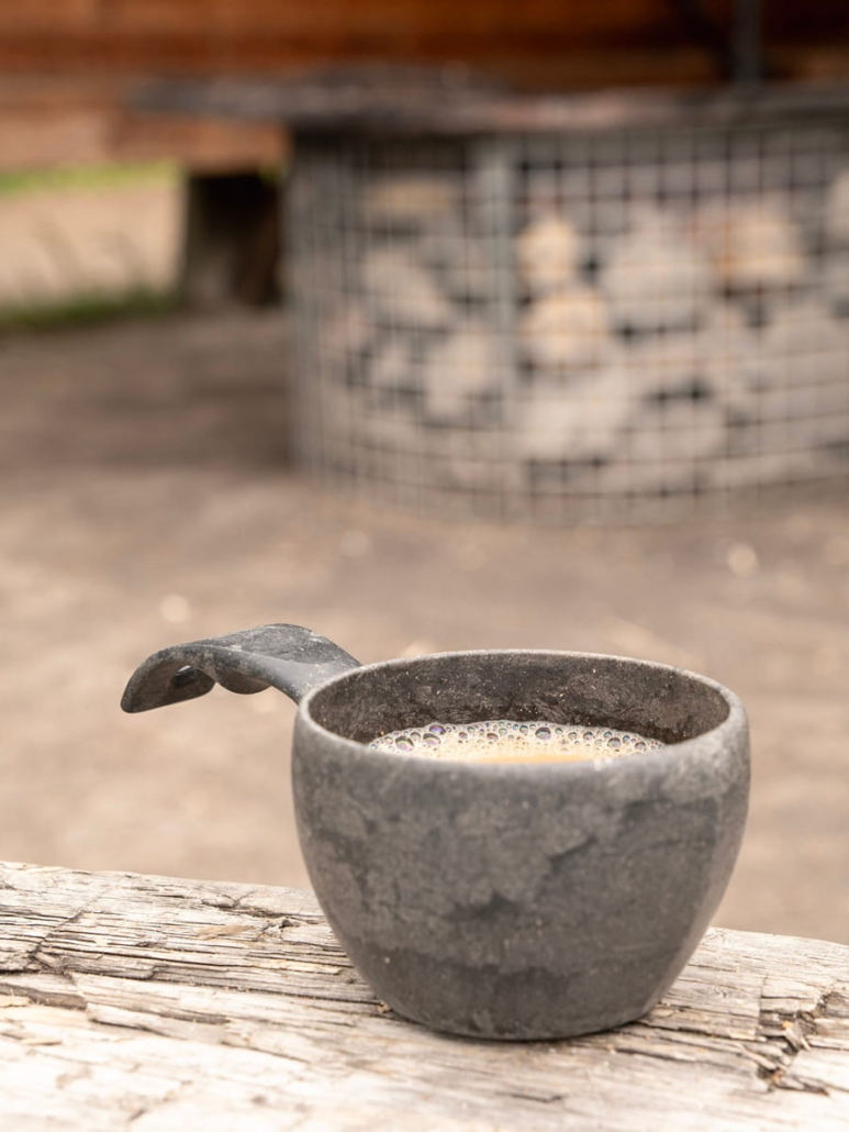
I’m hungry enough that I decide to sit down for lunch at the lean-to shelter before heading down to explore the falls from below. The spacious shelter has a well-maintained campfire site. I soon have company, and before long someone has fetched firewood from the nearby woodshed and got a fire going. There’s no wildfire warning today, so campfires are permitted at the chimneyless open shelter. My companions’ dog watches the proceedings with keen interest, and has a clear eye on their sausages.
If you’ve forgotten your own supplies, there’s a café along the road leading to Hepoköngäs.
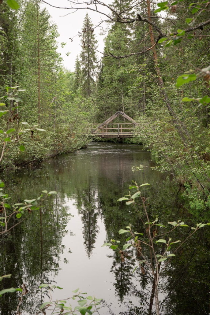
After lunch, I head towards the lower section of Hepoköngäs. I had assumed the accessible route only went as far as the upper viewing platform, but it continues further. To get down, you first need to retrace your steps about twenty metres back towards the car park to reach the branch in the trail that heads downhill. The first feature is a bridge over the Heinijoki river, offering a view of the wild, undisturbed river.
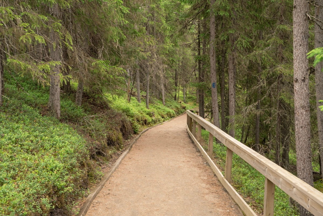
Past the bridge, the trail descends gently into the forest I had been admiring from above. The moss layer is thick, and spruce trees line the path on both sides.
After a switchback, the descent continues, and the next viewing platform comes into sight. It offers a different perspective on the falls. From the side, you can perhaps best appreciate the shape of the waterfall, and I also notice the rocky walls that frame it on either side.
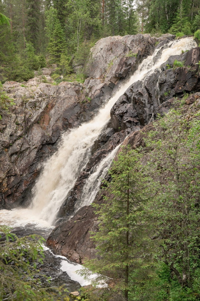
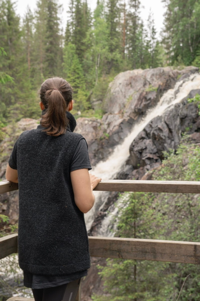
After spending some time watching and photographing the falls, I let my gaze follow the Heinijoki river as it makes a 90-degree bend at the foot of the waterfall and continues down through the gorge towards the Kiiminkijoki river and the Gulf of Bothnia. The dim, shaded riverbank looks like an inviting spot to linger.
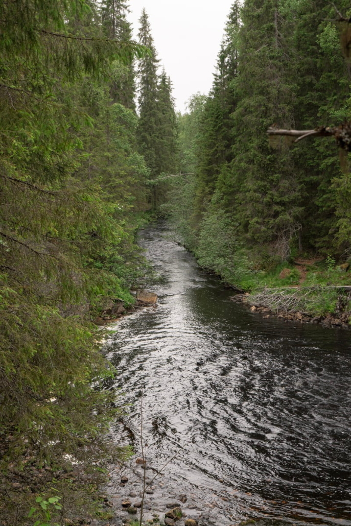
The accessible route ends at the viewing platform, from which stairs and a path continue further down. Before reaching the bank of the calm pool, I cross the lush-banked Lohipuro stream.
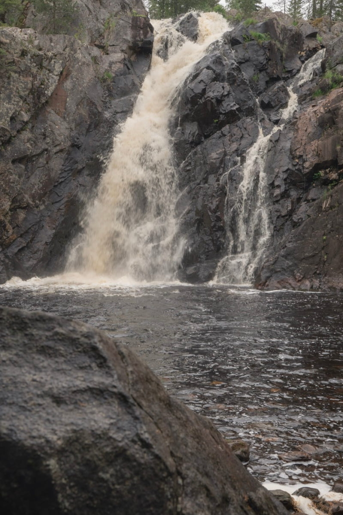
Down by the water, a third perspective on Hepoköngäs opens up. From here I can clearly make out the two channels of the waterfall: the wider one on the left and the narrower, ribbon-like one on the right. For a moment I thought it had started to rain, but it was only the finest mist carried across by the falls all the way to the opposite bank.
I climb back up to the top of the falls, and on the way note that it’s 350 metres from the viewing platform to the lean-to shelter. The accessible section of the trail is therefore 650 metres in one direction, or 1.3 kilometres in total.
For those who’d like to add a bit more distance, you can follow the trail named the Geological Nature Trail. The loop starts at the top of the falls, where you descend a staircase to the bank of the Heinijoki river. A narrow path follows the river for about 700 metres, after which the route climbs away from the river onto the boggy and rocky terrain to the north, before returning to the car park. The Geological Trail adds 1.5 kilometres in total.
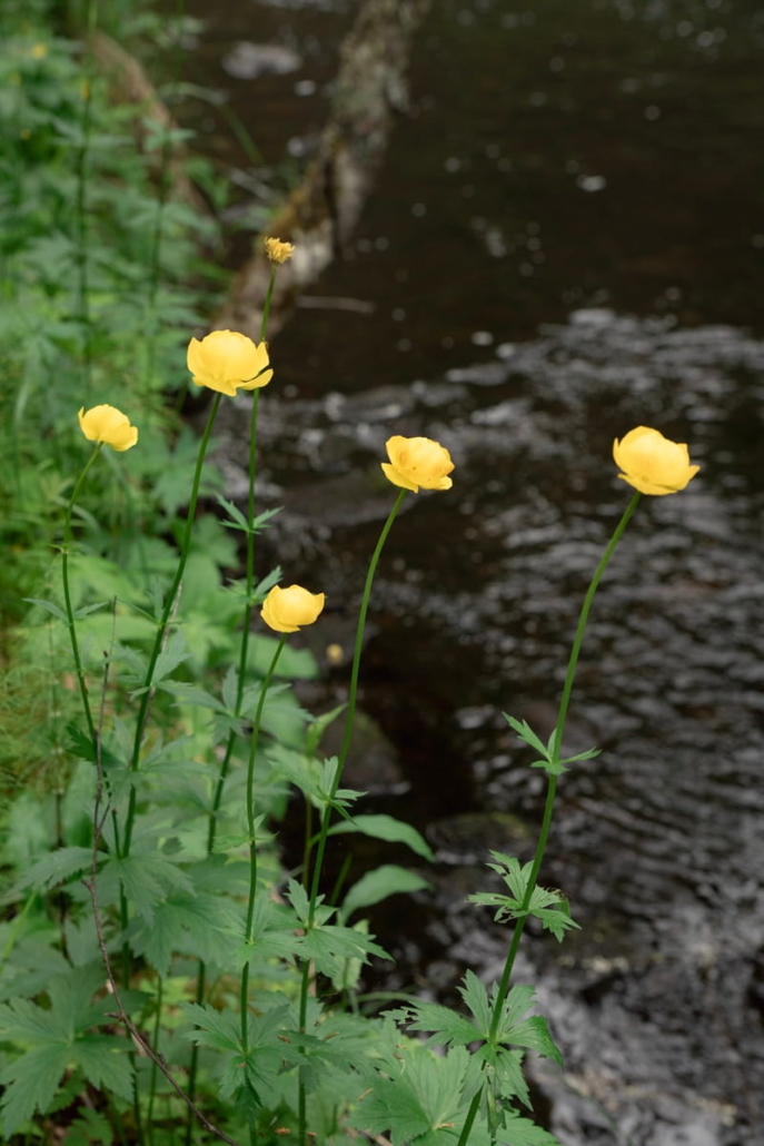
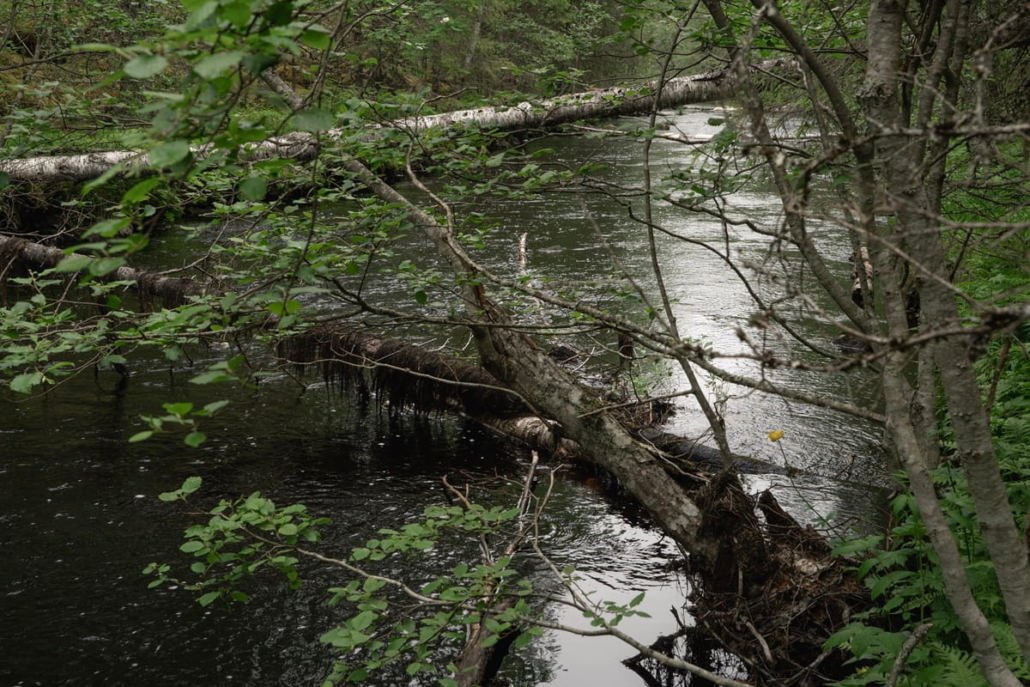
I decide not to do the full loop today, tempting as it is. But I do want to see what the Heinijoki looks like downstream of the falls. I head down to the little river and walk a short way along the bank — only to stop in my tracks almost immediately when I spot globeflowers growing right at the water’s edge. For me, as for many people from northern Finland, they are the quintessential symbol of midsummer.
After this brief detour I make my way back, walking the last few hundred metres to the car. The car park is quiet, but the pleasing roar of the waterfall still echoes in my mind.
Hepoköngäs XXS–XS loop options
XXS: The accessible trail from the car park to the top of the falls and down to the lower viewing platform is 650 metres each way, 1.3 kilometres in total.
XS: If you take the Geological Nature Trail on the way back from the falls, the total distance is 2.5 kilometres.

Read next:
A kingdom of ancient spruces: Paljakka Strict Nature Reserve in Puolanka, Kainuu
Related Content




Leave a Reply
Want to join the discussion?Feel free to contribute!