
Pyssykulju Loop in Puolanka: A Family-Friendly Hike Through Classic Kainuu Scenery
In commercial cooperation with Visit Puolanka, Municipality of Puolanka, Paljakka, UVM project, co-funded by the European Union
The Pyssykulju loop (4 km) is an easy outing even with younger children. The trail starts and ends at a lean-to shelter on the shore of a small lake, and the scenery shifts constantly along the way. Adults are treated to the classic Kainuu landscape of forested hills and lakes.
Pyssykulju loop trail
- Location on map
- Loop trail 4 km
- Option for a shorter version (2.5 km)
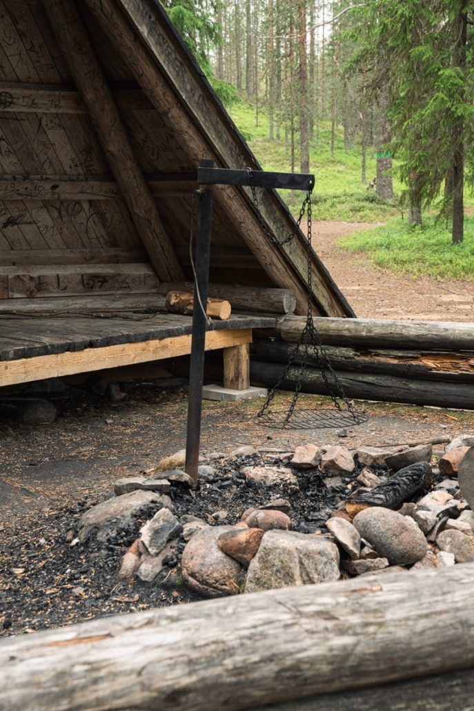
- Campfire site: yes, campfire site at the lean-to shelter on the shore of Pyssylampi lake
- Swimming spot also available
- Public transport: no public transport connections
- By car: car park next to the trailhead, near Hyrynsalmentie road
- Highlights: viewpoints to the west, Pyssylampi lake, varied terrain, and the lean-to shelter and its surroundings
- Difficulty: moderate
- Trail map
I had studied the map of the Pyssykulju area in advance — it lies to the southeast of Puolanka village — and concluded that the terrain was probably a mix of kettle hole landscape and forested hills typical of Kainuu.
The name also caught my attention. In the dialects of northern Finland and Kainuu, kulju refers to a hollow or depression in the ground, yet on the map, Pyssykulju is printed as the name of a hill rising to nearly 300 metres above sea level. The nearby lakes Pyssylampi and Upokas do sit in hollows, perhaps deep kettle holes. I came across a piece of local lore suggesting that at least the name Pyssylampi has its roots in fierce battles of old between Finns and their Russian adversaries.
I couldn’t remember ever having heard of the place or the loop trail, let alone visited it. But as it turned out, I was quite wrong about that.
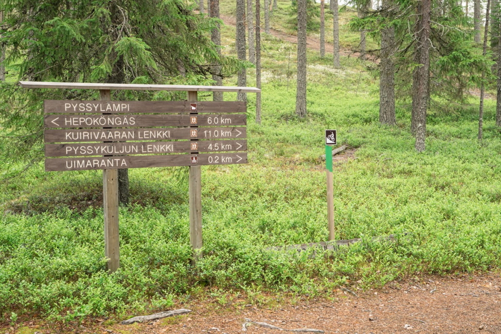
As I drive towards Pyssykulju from the direction of Puolanka, a growing sense of familiarity settles in with each passing kilometre. The signpost pointing left still doesn’t ring any bells, though.
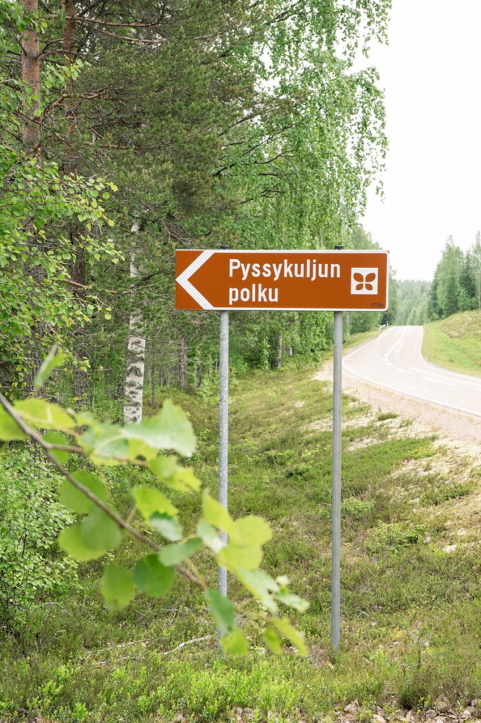
I leave the car in the large open parking area beside Hyrynsalmentie road and follow the signs on foot. A mountain biking route marked in green runs along the same track.
It soon becomes clear where the sense of familiarity is coming from. A sign beside the road leading to the Pyssykulju trail, with dates printed on it, reveals that the area has hosted the Kainuu Orienteering Week several times, and I was there for the very first one, at the age of nine. I wasn’t competing in the orienteering myself that year, but my father and a friend and I came to Puolanka to watch the races for a couple of days. The fine forest terrain left a strong impression on me, and I remember feeling disappointed that our family was heading to a different orienteering week that year.
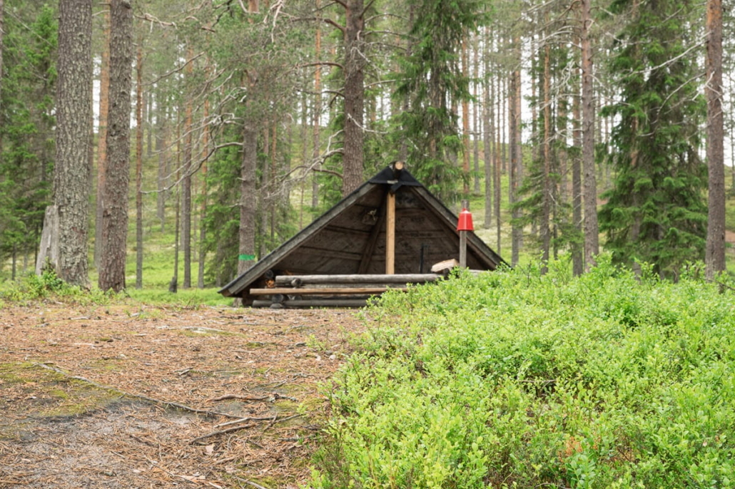
Delighted by this first surprise at Pyssykulju, I reach the car park and then the well-maintained lean-to shelter. I notice that it would have been possible to drive all the way here. No matter, a few extra hundred metres of walking never hurt.
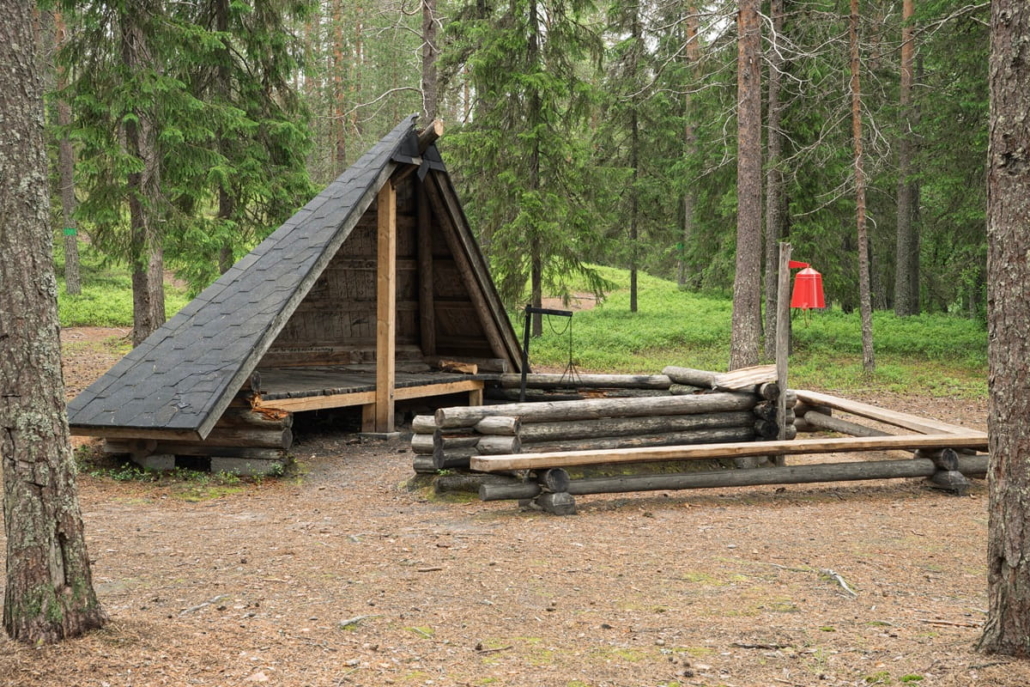
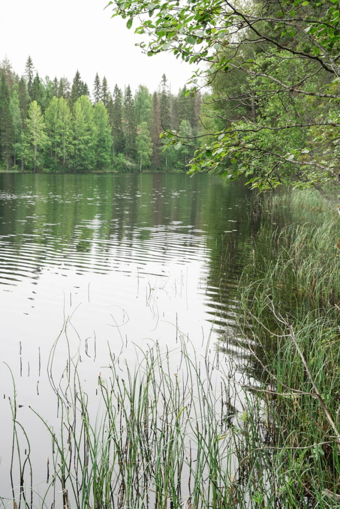
The Pyssykulju loop starts from the lean-to shelter and campfire site, which sits in a lovely spot on the shore of Pyssylampi lake. The area around the shelter is spacious — a great open space for families with children. I’m out on a completely windless day, and there are no mosquitoes to speak of around the shelter. Even a light breeze would probably keep them away almost entirely. At the starting point there is also a dry toilet and a firewood shed. Before setting off on the loop, I take a moment to explore Pyssylampi. The water looks clear, and a few summer cottages are just visible on the far shore.
At the starting point I discover that longer routes are also possible in the area. The mountain biking trail leaves a nagging temptation. I make a mental note to find out later where it starts and where it goes — pine forest terrain with needle-carpeted paths is my absolute favourite for mountain biking.
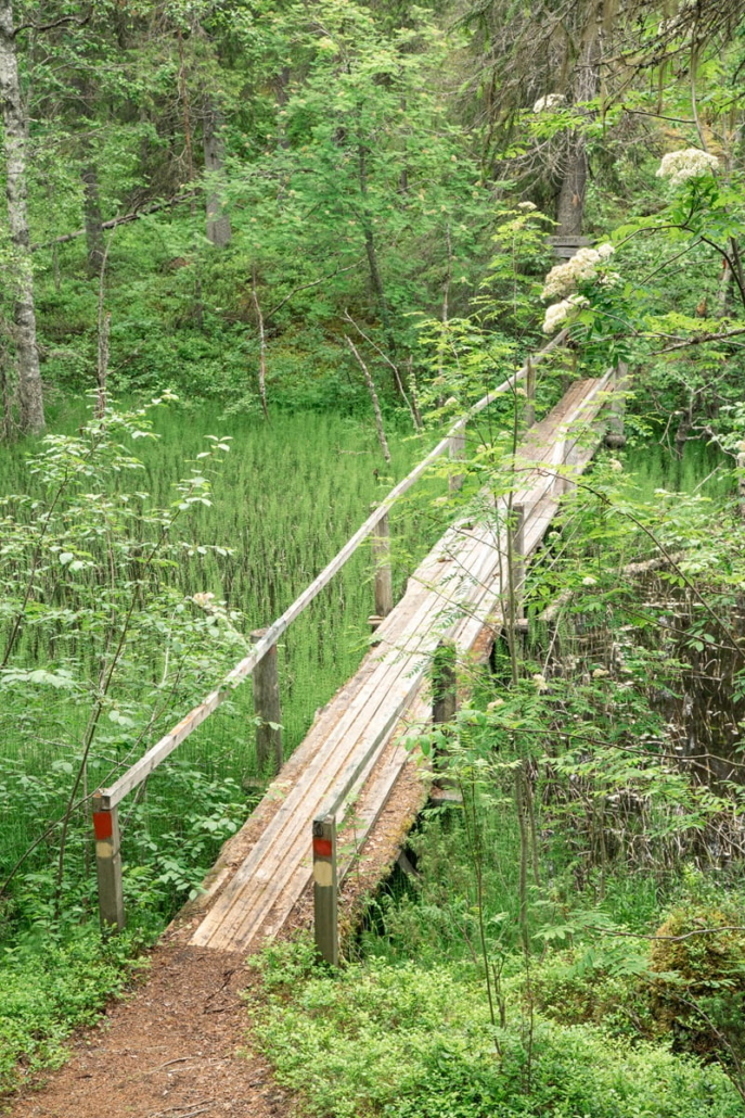
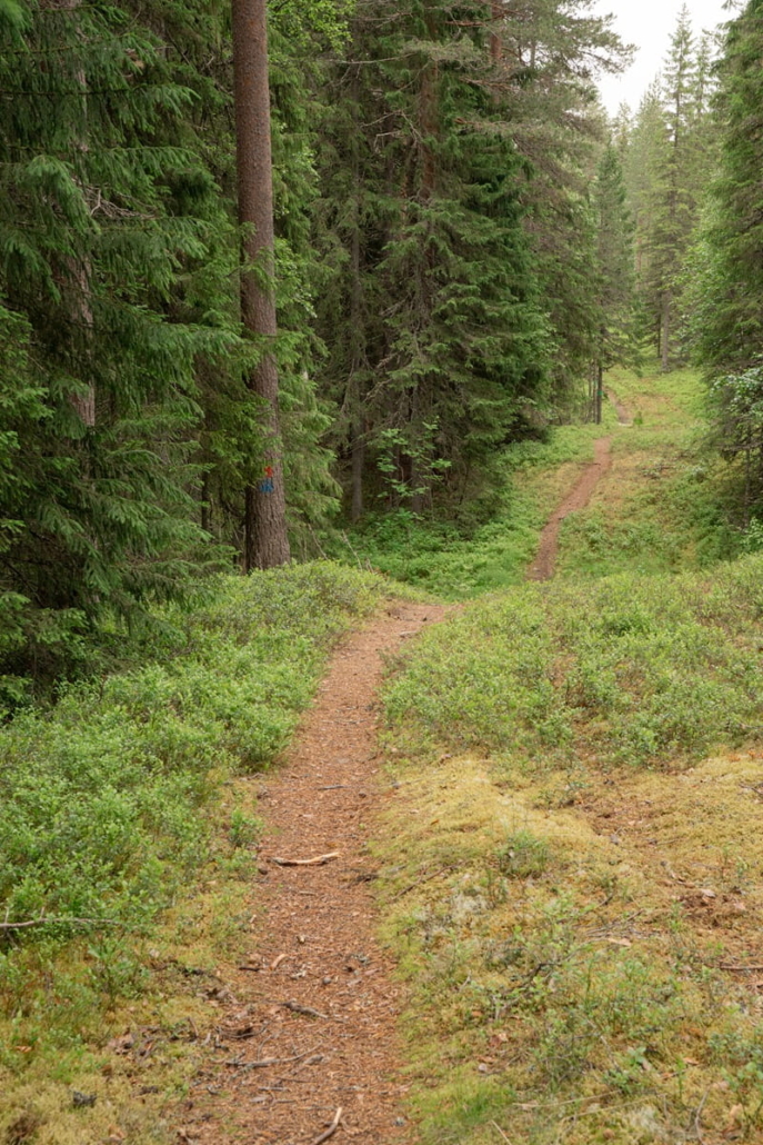
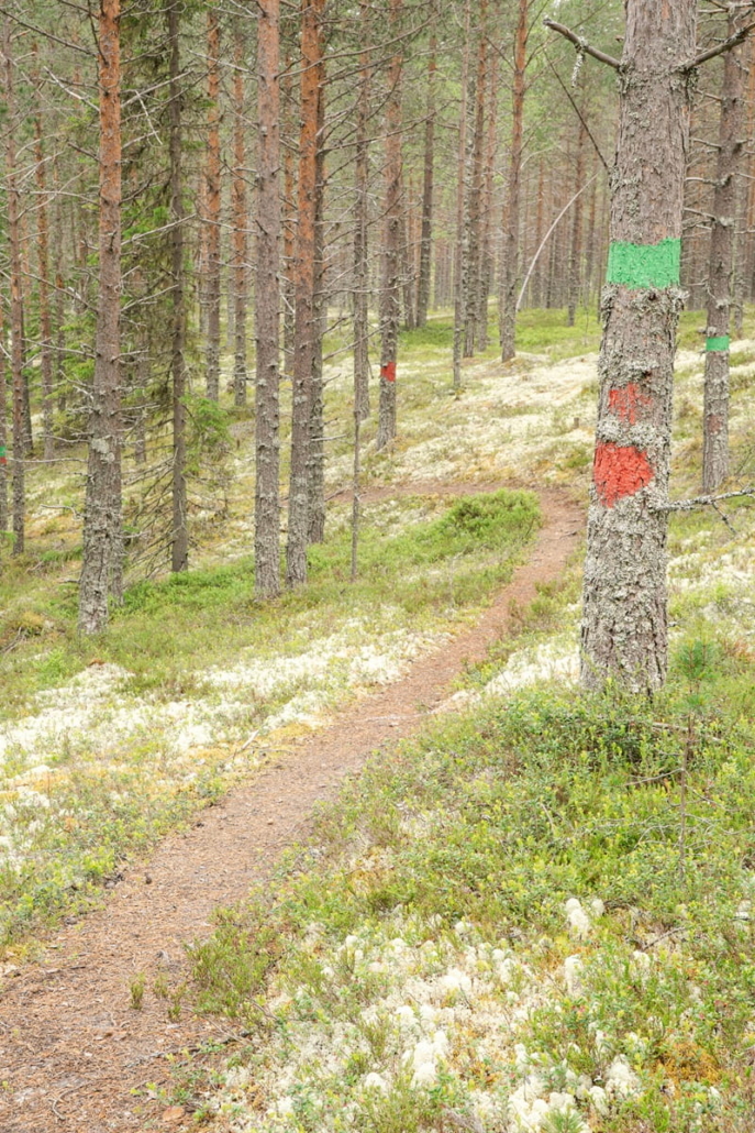
The Pyssykulju loop is marked in red, and just a hundred metres from the start the trail forks. This is where the loop section begins. Without giving it much thought, I turn right and start walking the loop anticlockwise. The path almost immediately dips down into a lush stream valley connecting Pyssylampi and Upokas lakes. The stream is crossed via a small bridge.
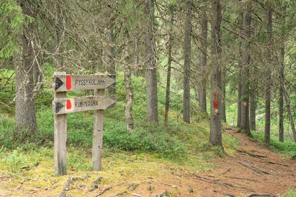
From the valley, a proper climb begins up to a ridge with a pleasant pine forest. The trail gains about 40 metres of elevation over a few hundred metres. After a junction with a path heading towards Kuirivaara hill, the trail descends again onto the north-facing slope above Upokas lake. I try to catch a glimpse of the lake, but it’s hidden behind dense forest. I had already noticed on the map that the oldest trees tend to grow on the slopes around the lakes.
The mountain biking route joins and diverges from the loop trail here and there, but the red trail markers keep you on track. After roughly 1.3 kilometres, the trail crosses a gravel road. This is the shortcut option. Turning left and following the road for half a kilometre brings you back to the marked trail. The shorter version comes to 2.5 kilometres in total.
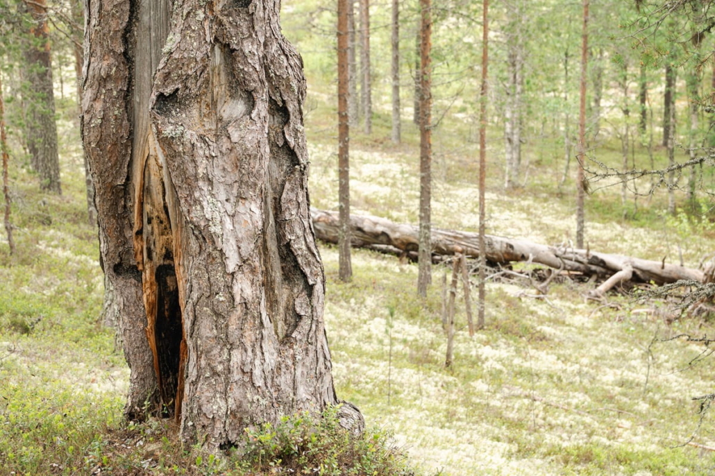
After crossing the gravel road, I notice a fine old pine tree to my right. It’s had a long life: you can see it has survived at least one forest fire, and much else besides.
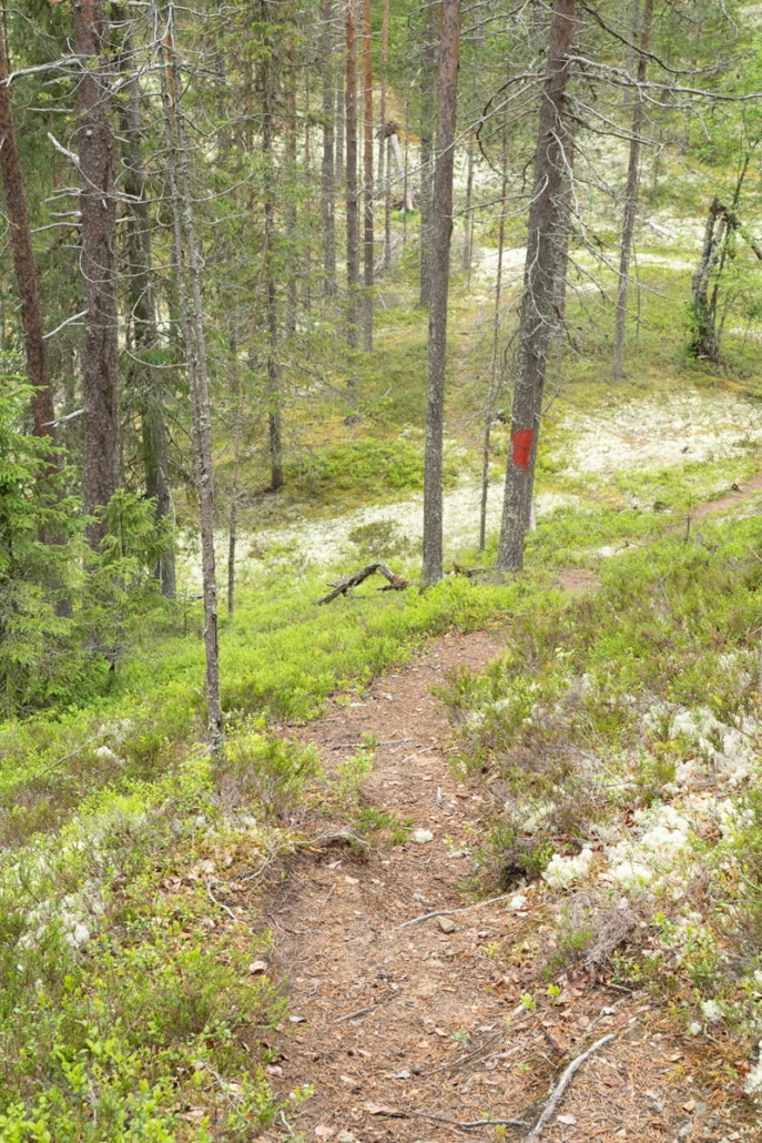
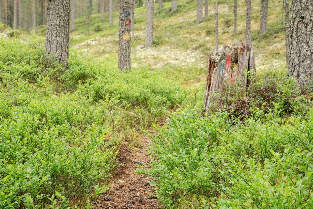
At the power line cutting across the area, I can tell the trail’s biggest climb is approaching. I’d had a bad calf cramp the previous week and was slightly nervous about how the ascent would go. Fortunately the worst of the stiffness had eased off, the path is well-trodden and the steepest section is short. Bilberry bushes brush against my ankles as I walk along the needle-carpeted path.
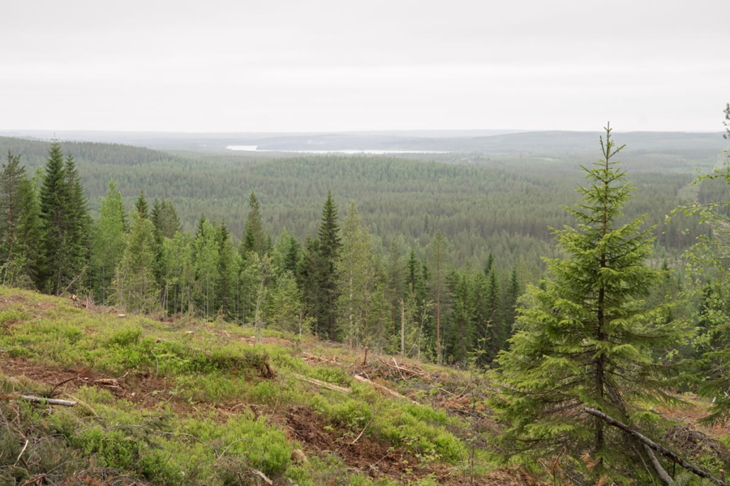
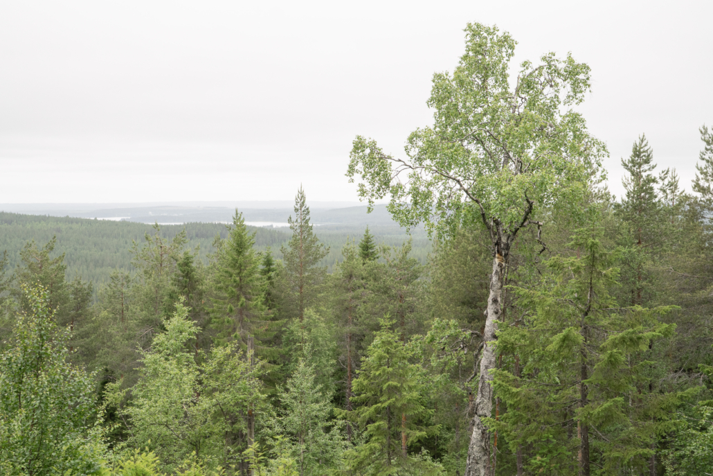
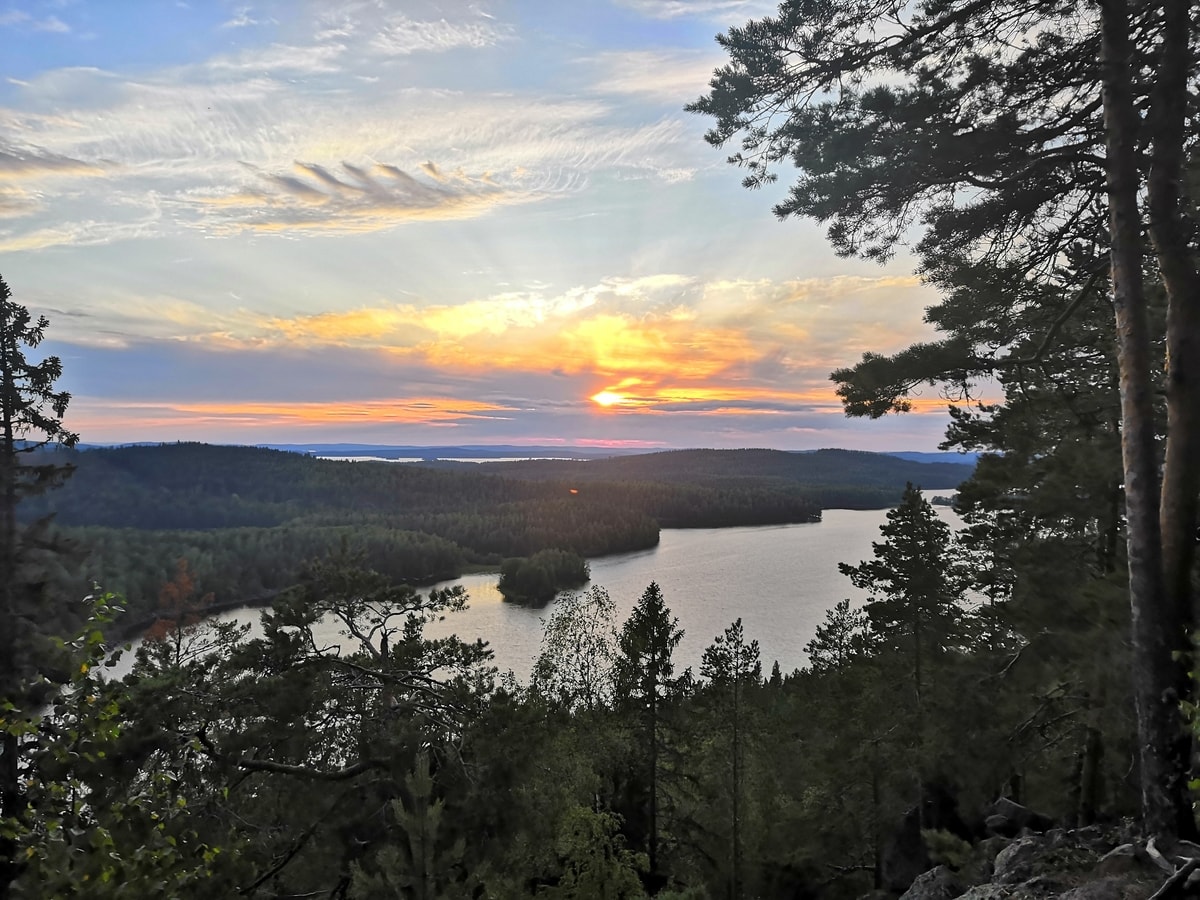
At the top of the steepest climb, the second surprise of the day is waiting. In the Puolanka area, the hilltops are forested rather than bare rock, and I had prepared myself for the possibility of limited views on the Pyssykulju loop. But at the top of the hill there is a small cleared patch that opens up a view to the west. Stretching out ahead are forests and hills as far as the eye can see, with the curved shape of Lake Puolankajärvi visible in the distance.
The hilltop is pleasant young mixed forest. May lily and wood cranesbill have claimed the edges of the path. The midsummer greenery is almost dazzling.
Moments later I reach the highest point of the hill, where a second fine viewpoint opens up. Among the dark conifers ahead there is enough lighter deciduous green that I suspect the view would be spectacular in autumn colours too.
From the highest point the path begins to wind downhill. First it enters a dim spruce forest, then a short section with signs of thinning work and a cleared patch that opens views over Pyssylampi and Upokas towards the hills to the east.
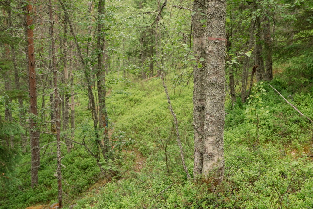
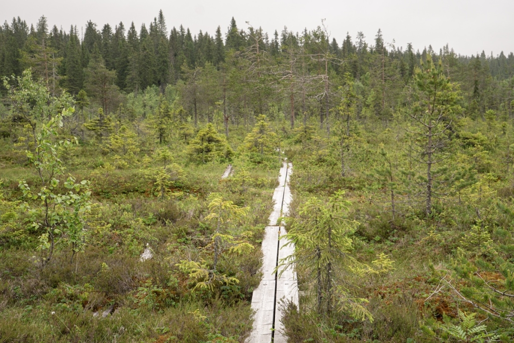
After the descent, the terrain shifts to typical kettle hole landscape. The path follows the western shore of Upokas, but the lake itself rests quietly in its own deep hollow, out of sight. The slope is covered by a fine old spruce forest.
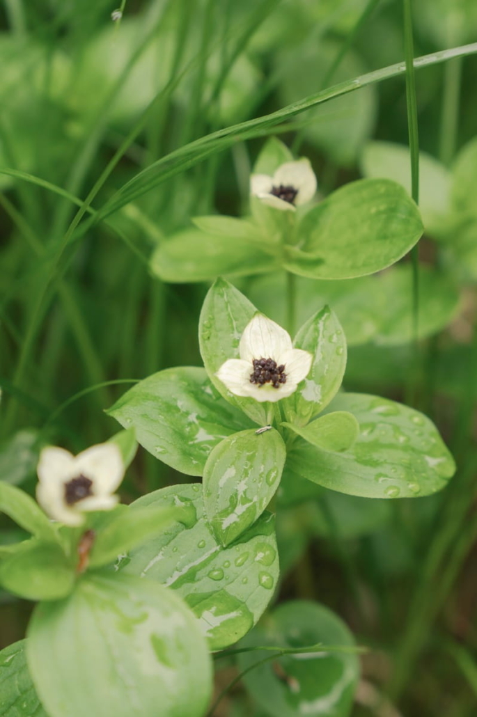
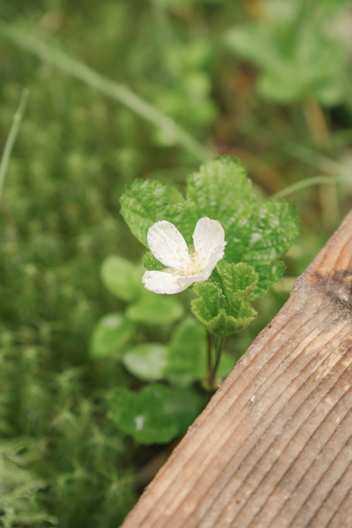
The trail continues pleasantly through rolling terrain, rising over small crests and dipping down into hollows. In a couple of the wetter spots, cloudberries and bunchberries are in flower.
Then the familiar junction comes into view ahead. The loop closes, and the last 100 metres back to the lean-to shelter lie ahead. There I meet a couple who have come to do hill sprint intervals on the steep ridge above the shelter.
The Pyssykulju area seems to be a favourite among locals too. According to the description on the Municipality of Puolanka’s website, the trail is one of Puolanka’s oldest hiking routes. The description rates it as demanding, but I would put it at moderate at most. For much of its length the path is easy going and well suited to hiking with children, especially as the trail ends at the lean-to shelter by Pyssylampi lake.
I linger a while longer to study the information board, weighing up whether to have my trail lunch here or head to nearby Hepoköngäs. I think I’ll drive the few kilometres to go and see one of Finland’s highest waterfalls.
Pyssykulju S-size route
S: The Pyssykulju loop is approximately 4 kilometres long, passing through varied pine forest and hill terrain. It can easily be shortened to 2.5 kilometres. If you start from the Hyrynsalmentie roadside parking area, the total distance comes to just under 5 km.
A marked mountain biking route runs from Puolanka to the Pyssykulju area.

Read next:
A kingdom of ancient spruces: Paljakka Strict Nature Reserve in Puolanka, Kainuu
Related Content
 Retkipaikka/Auli Packalén
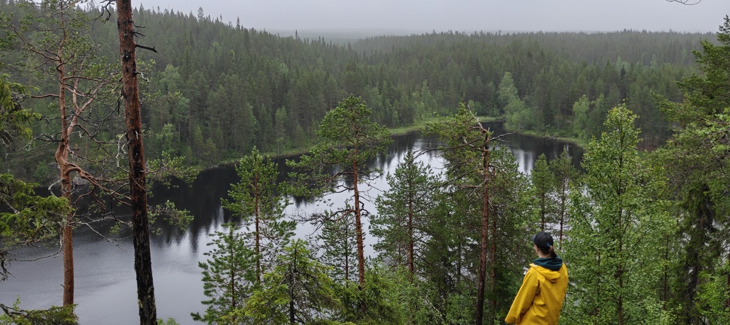


 Retkipaikka/Auli Packalén
Leave a Reply
Want to join the discussion?Feel free to contribute!